Home › Categories › Raster & terrain › Page 8
Raster & terrain QGIS plugins Page 8 of 10
QGIS plugins to analyse rasters, elevation models and terrain. 600 plugins, 264 QGIS 4 ready, 424 actively maintained. Sorted by downloads. Showing 421–480.
Related categories: Vector tools · Spatial analysis · Remote sensing · Georeferencing & CAD · Hydrology & water · All categories
- FraXtexQGIS 4 ready
Automatic geological fracture mapping from an RGB orthophoto, with or without a DEM
- xDEMQGIS 4 ready
A wide range of high-level operations required for analyzing elevation data.
- CPLUSQGIS 4 ready
Climate Positive Land Use Strategy (CPLUS)
- SwathProfile4QGISQGIS 4 ready
横截面剖面提取工具 / Swath profile extraction tool
- SoilToolNot QGIS 4 ready
Interactive soil profile visualization tool for QGIS.
- AIGeo Classificador IANot QGIS 4 ready
Intelligent classification of orbital and raster images using supervised and unsupervised Machine Learning.
- Mac MrSID Support HelperQGIS 4 ready
Helper to download and install MrSID (.sid) raster file format support on macOS.
- Basdonax Keyline from DEMQGIS 4 ready
Computational design of Keyline infiltration lines from DEM/DTM.
- OpenGeoEnrichNot QGIS 4 ready
Open-source geoenrichment for QGIS: enrich points, lines, or polygons with open-data population, roads, facilities, land-cover, and terrain
- Raster LoaderNot QGIS 4 ready
Plugin for managing large raster datasets, loading and copying.
- nivaQGIS 4 ready
QGIS from the command line: write concise text-pipeline geoprocessing flows (no PyQGIS coding) and run them in a dock.
- toggle_layer_on_offNot QGIS 4 ready
Quickly toggle any selected layer ON or OFF with a single click in QGIS.
- OrIFSCQGIS 4 ready
Generate cartographic base maps for the sport of orienteering
- PeruSpatial HubNot QGIS 4 ready
Explore official geospatial services exclusively from Peru via ArcGIS REST and WMS, and load native raster and vector layers in QGIS.
- Subset RasterNot QGIS 4 ready
This plugin allows user to create subset of a raster.
- Show And HideQGIS 4 ready
A simple plugin that allows you to turn visible vector, raster and point cloud layers on and off.
- Advanced Profile ToolNot QGIS 4 ready
Alignment-based cross-section generation, multi-DEM profile extraction, interactive section viewer, terrain comparison, volumes, and CAD/rep
- TLGeo2QGISQGIS 4 ready
It is a qgis agent, and a client for access tlgeo data source.
- QCT GIS2DXF ExporterNot QGIS 4 ready
QGIS to AutoCAD DXF export: vectors and rasters in one drawing. Orthophotos and hillshades attach as georeferenced image xrefs, clipped to a
- Qgis Advanced Map Tips&ActionsQGIS 4 ready
Advanced Map Tips and Actions Studio for vector and raster layers with Qt-safe HTML cards, inline charts, and 1-click web/spatial actions.
- RasterTrendNot QGIS 4 ready
Pixel-wise Mann-Kendall trend analysis and Sen's Slope estimation on raster time series stacks
- PE3D DownloaderNot QGIS 4 ready
Baixa, descompacta e carrega dados do portal PE3D (Pernambuco) por município.
- Cave Levels (Cave-PY)Not QGIS 4 ready
Identify cave levels from geospatially referenced cave surveys using a QGIS Processing Algorithm.
- HidroModelagemNot QGIS 4 ready
Complete hydraulic modeling platform for water distribution networks in QGIS: builds and runs EPANET models, diagnoses the network by simula
- Geo Crop RefNot QGIS 4 ready
Crops scanned maps/plans visually before Georeferencing and auto-loads them into the Georeferencer.
CityLume Planner is a QGIS plugin for analyzing nighttime light dynamics, urban structure, planning mismatch, future urban centers, and spat
- CityStockID Automated Urban Diagnostic AUDNot QGIS 4 ready
CityStockID Automated Urban Diagnostic AUD is a QGIS plugin designed to generate automated urban diagnostics from temporally harmonized grid
- MCD_VisualizerNot QGIS 4 ready
Mars Climate Database (MCD) visualizer in QGIS
- Zones d'influence visuelle (ZIV)QGIS 4 ready
Visual influence zones (viewsheds) computed from national LiDAR elevation data: downloads the tiles covering an area of interest, merges the
- USM toolset - Performance optimizedNot QGIS 4 ready
The USM Toolset was developed to facilitate the calculation of Weighted Urban Proliferation (WUP) and all components of urban sprawl for lan
- Processing SWAN ProviderNot QGIS 4 ready
Allows to post process SWAN model outputs in QGIS to convert them into vector layers or raster layers, to extract data from SWAN outputs in
- Landcover Encoding PluginNot QGIS 4 ready
Assigns each polygon the dominant and subdominant land cover class from an underlying raster with proportional coverage percentages. Include
- Thermal to PolygonQGIS 4 ready
EN: Thermal to Polygon is a QGIS plugin that automatically extracts heat zones from thermal maps reconstructed with the Thermal Temperature
- Sample Plot SurveyNot QGIS 4 ready
This plugin compares and evaluates the values of raster layers for each area.
- GeoKlein Raster OptimiserQGIS 4 ready
Converts slow, unoptimised orthomosaics, elevation and multispectral rasters into fast-panning Cloud Optimized GeoTIFFs (COGs).
- GeolAttitudeQGIS 4 ready
Plugin for for interactive estimation the attitude of geologic planar features from DTMs. Implements user-selectable fitting methods and unc
- Directional Slope PolygonsNot QGIS 4 ready
Directional slope polygons from DEM with filtering and vertex control
- GPBoost Spatial PredictorQGIS 4 ready
Spatial prediction with GPBoost, combining tree boosting and Gaussian processes for point observations.
- GeoBridgeNot QGIS 4 ready
Discover, semantically search, and preview Copernicus climate data (ERA5, CAMS, CEMS) as WMTS layers directly in QGIS, built entirely on QGI
- Universal Raster to Point JoinNot QGIS 4 ready
Joins an area mask with a grid and extracts attributes from a data layer (Raster to Points).
- Multi-Source DEM DownloaderNot QGIS 4 ready
Download, mosaic and clip multiple global DEM/DSM datasets by study area in QGIS.
- maskqNot QGIS 4 ready
Mask or clip rasters by value range, raster mask, or polygon boundary. Interactive histogram with draggable handles. Live canvas preview.
- URGREECS Urban Green Equity Analytics 3-30-300Not QGIS 4 ready
URGREECS Urban Green Equity Analytics 3-30-300 is a QGIS plugin for evaluating urban green performance, public green space access, and spati
- InaRISK to QGISNot QGIS 4 ready
Download InaRISK disaster data and convert rasters to vector layers in QGIS.
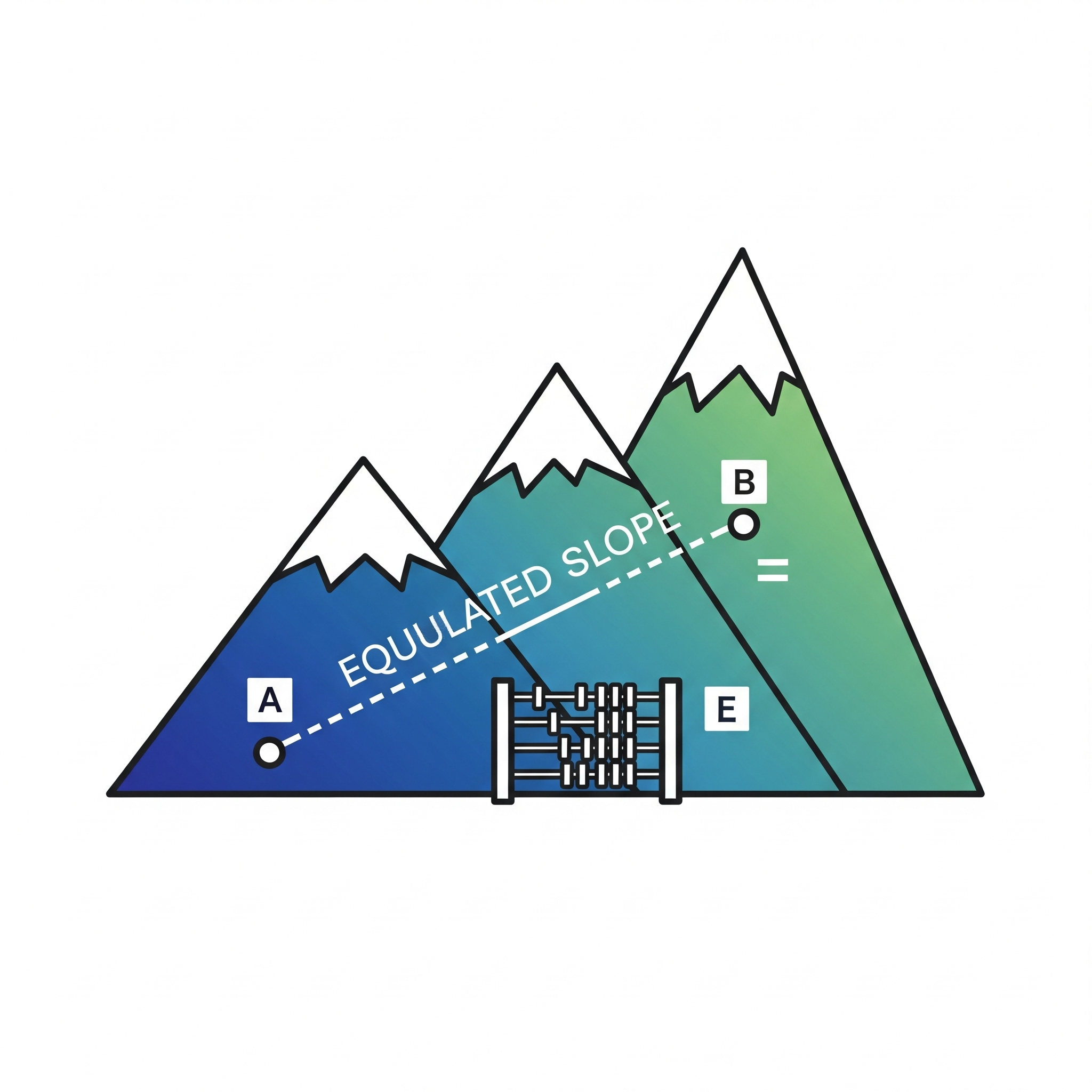
- EquivalentSlopeToolNot QGIS 4 ready
Calculates equivalent slope along a line using DEM
- Raster VectorizerNot QGIS 4 ready
Vectorize scanned topographic maps using interactive HSV colour-range classification
- Thermal Temperature ReconstructorQGIS 4 ready
EN: Thermal Temperature Reconstructor is a QGIS plugin that recovers temperature values from thermal orthomosaics generated via DJI FlightHu
- TrendShiftNot QGIS 4 ready
Pixel-wise abrupt change point detection for raster time series using Pettitt's non-parametric test
- CacaoPlanterNot QGIS 4 ready
CacaoPlanter is a QGIS plugin designed to assist cacao plantation management by generating planting block grids, calculating area using CR
- Генератор укосівNot QGIS 4 ready
Автоматизована побудова укосів, обривів та підпірних стінок
- DOP GermanyQGIS 4 ready
Automatically loads WMS DOP Deutschland layers with individual federal state toggles and geometry-based current map view filtering.
- Kriging StudioQGIS 4 ready
Kriging Studio is a comprehensive geostatistical interpolation tool for QGIS 4.x and Qt6. It enables users to perform Ordinary Kriging and U
- ContourEaseNot QGIS 4 ready
Easily create professional contour maps and DEMs from XYZ CSV or Excel data with CRS conversion
- WebODM Precisa AgrimensuraNot QGIS 4 ready
WebODM integration: drone image upload, photogrammetric processing monitoring, GCP editor, and product download (orthomosaic, DSM, DTM, poin
- GeohazardNot QGIS 4 ready
Plugin with various tools for landslide analysis and management
- HandModelNot QGIS 4 ready
QGIS plugin for hydrological and geomorphological analysis using DEMs, with slope quartiles and drainage extraction.
- Chak Star AlignmentNot QGIS 4 ready
Draws chak outlet to sub-chak alignments as a star or a branched tree network, with noded segments, hierarchy, chainage, area/discharge serv
- Multiband Zonal StatsQGIS 4 ready
High-throughput continuous and categorical zonal statistics for multiband rasters and multipart polygon layers.
- RasterPixelInfoNot QGIS 4 ready
Displays row index, column index, and pixel values directly on the map canvas for every visible raster pixel. Includes multi-layer compariso
- PE3D-DownloaderNot QGIS 4 ready
Downloads PE3D DEM, DTM and orthophoto tiles and creates optimized GeoTIFFs or draft VRT mosaics.