Home › Categories › Raster & terrain › Page 5
Raster & terrain QGIS plugins Page 5 of 10
QGIS plugins to analyse rasters, elevation models and terrain. 600 plugins, 264 QGIS 4 ready, 424 actively maintained. Sorted by downloads. Showing 241–300.
Related categories: Vector tools · Spatial analysis · Remote sensing · Georeferencing & CAD · Hydrology & water · All categories
- NASA Power DownloaderNot QGIS 4 ready
Download NASA POWER climate parameters for a point or area and load into QGIS. Multi-parameter and multi-format (NETCDF/GeoTIFF/CSV/JSON).
- Feature Z SetterNot QGIS 4 ready
Sets the Z value of each new/edited feature to a specific value, based on a DEM layer plus an offset.
- GRD_LoaderQGIS 4 ready
Load GRD Format Rasters (See SGTool for more functionality)
- SOSI ImportQGIS 4 ready
Import SOSI and convert to GeoPackage, with support for missing/unknown KOORDSYS and Raster-SOSI (.RASTER) imagery.
- MoveRasterQGIS 4 ready
Move raster and vector layers by clicking on the map / Sposta raster e layer vettoriali cliccando sulla mappa
- TopoUSM2Not QGIS 4 ready
Terrain enhancer with USM
- UMapNot QGIS 4 ready
This plugin enables any user to transform a stack of digital bathymetric data terrain models into a bathymetric community map.
- TopographyNot QGIS 4 ready
The plugin is available in this first version with the functionality to calculate closed polygons using the projections method.
- QRichDemNot QGIS 4 ready
Qgis wrappers for RichDem
- Threshold to ROINot QGIS 4 ready
Create ROI (Region of Interest) with threshold values.
- PngTile2DemQGIS 4 ready
Generate DEM GeoTIFF from numeric WebP elevation tiles
- SPI Utility for RasterNot QGIS 4 ready
Generates SPI values from Daily Precipiation Rasters
- Lateral spreadingQGIS 4 ready
Lateral spreading for seismic microzonation
- SlopeLayerCreateNot QGIS 4 ready
Based on the line layer, create a slope layer from the elevation of the DEM raster layer.
- TerraLinkNot QGIS 4 ready
Spatial ecology tool for wildlife corridor generation and habitat connectivity analysis using raster and vector workflows. Strategically con
- Change Detection ToolNot QGIS 4 ready
A plugin to perform change detection between two rasters by comparing pixel by pixel.
- OpenHLZNot QGIS 4 ready
An Open-source HLZ Identification Processing Plugin
- osm2topomapNot QGIS 4 ready
A plugin intended to intermediate the process of using OSM data for official (authoritative) Topographc Maps, or rather, databases
- Lahar Flow Map ToolsNot QGIS 4 ready
This plugin is for opening and processing results from LaharFlow
- Three-D Change DetectionNot QGIS 4 ready
Tool for change detection between temporally different DEMs (rasters) of the same location
- DEM Route Profile and Terrain Cost AnalyzerQGIS 4 ready
DEM route profile, 3D terrain section, multi-DEM comparison, terrain cost analysis, and basic earthwork cut/fill volume tool.
- Stats By PolygonNot QGIS 4 ready
This plugin creates plots for statistics of raster bands based on selected polygon feature.
- Oemc PluginNot QGIS 4 ready
This plugin provides easy access to OEMC and OpenGeoHub STAC services
- Terrain Product StudioQGIS 4 ready
Publication-grade terrain maps from one DEM: 20 color palettes, USGS-style cartography, hydrology, geomorphometry, multi-hazard analysis, Ge
- DEM DownscalingNot QGIS 4 ready
Plugin to increase DEM resolution using Hopfield Neural Network method with spatial dependence maximization and elevation constraints. Featu
- GeoPF AltimétrieNot QGIS 4 ready
Warning : France only! <br/> This plugin allows to call IGN Geoplateforme API directly from elevation profile tool.
- Tanaka ContoursNot QGIS 4 ready
Generates Tanaka-contours from a DEM
- TiltMaster - RF Vertical AnalysisNot QGIS 4 ready
Advanced RF Vertical Analysis and Tilt Optimization for Telecom Planning
- raster inversorNot QGIS 4 ready
The plugin inverts the values of a raster
- TilePickNot QGIS 4 ready
Easy load raster or point cloud tiles from index vector layer or map canvas position
- CIGeoE Toggle Label VisibilityNot QGIS 4 ready
Toggle label visibility
- wpDatasetsNot QGIS 4 ready
A simple qgis 3 addon to downlaod wp datasets from WorldPop ftp server.
- ProfileMasterQGIS 4 ready
Longitudinal profiles, cross-sections, 3D axis, DTM buffer and contour lines from vector alignments or loaded QGIS layers over Digital Terra
- FuzzyAttributesQGIS 4 ready
FR: FuzzyAttributes V2 étend le plugin original en intégrant trois nouveaux modules pour les données raster et catégorielles. Il permet de c
- Delft3D File ManagerQGIS 4 ready
Import, visualize, analyze, and export Delft3D FM models and results in QGIS.
- finding_laylinesNot QGIS 4 ready
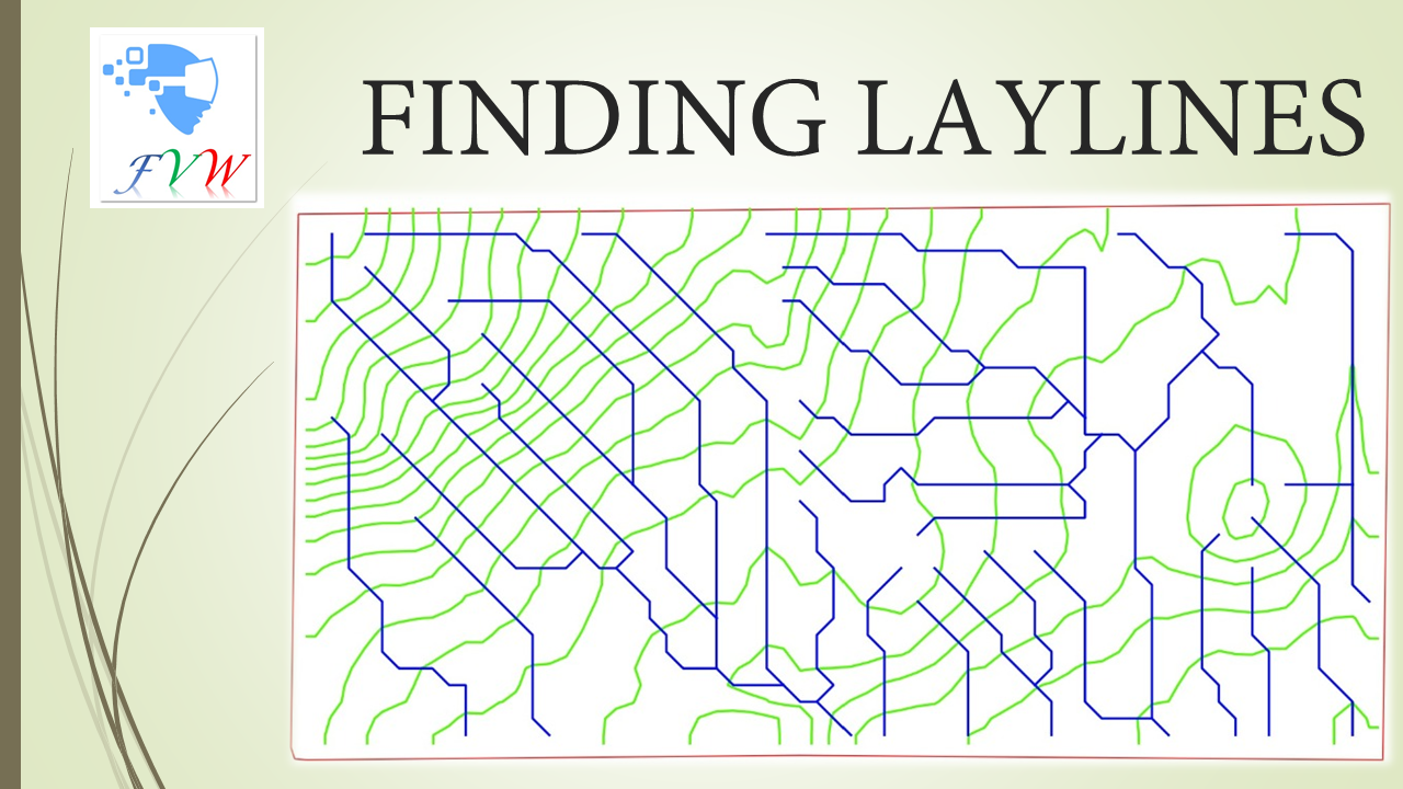
This plugin creates drain nets (consisting of contour lines and surface flow pathways called LAYLINES that are at right angles to each other
- Calculate Similarity MapNot QGIS 4 ready
Calculate score of similarity using GOF MapCurve (Vector & Raster)
- NetCDF to GeoTIFF ConverterQGIS 4 ready
Convert NetCDF (.nc) files to GeoTIFF with variable inspection, time-series export, auto CRS and scale/offset detection. Supports GSMaP, ERA
- Pan Europeo ProcessingNot QGIS 4 ready
gdal calc wrapper for multi utility attribute functions raster calculator
- SeisPlotPyNot QGIS 4 ready
A QGIS plugin for the visualization, navigation, and interpretation of 2D SEG-Y data directly within the QGIS environment.
- Movement AnalysisQGIS 4 ready
Toolbox for raster based movement analysis: least-cost path, accumulated cost surface, accessibility.
- EA_SlopeNot QGIS 4 ready
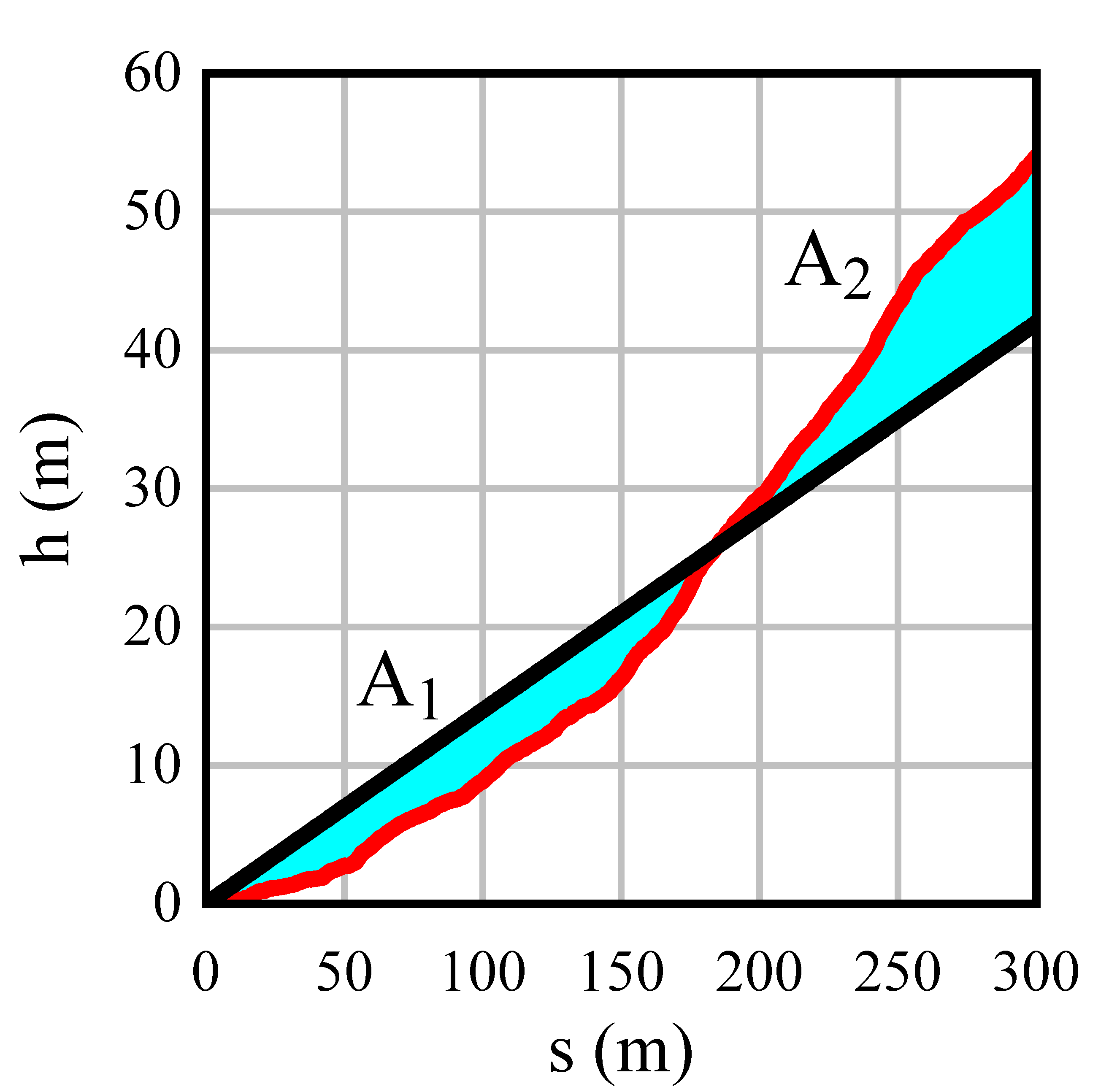
function provides for estimating the equal area slopes
- DEM Resample InterpolatorNot QGIS 4 ready
Professional DEM resampling tool for high-resolution terrain analysis using Bilinear, Bicubic, and Lanczos interpolation methods.
- Rockyfor3D Input RastersQGIS 4 ready
This plugin prepares the input rasters for the Rockyfor3D rockfall simulation model.
- Military Cartography ToolsQGIS 4 ready
Military cartography, MIL-STD-2525D/E and APP-6D/E tactical graphics, MGRS, and terrain analysis tools for QGIS. Runs fully offline - no ext
- spectralmatchNot QGIS 4 ready
relative radiometric normalization toolkit for raster mosaics and time series
- otsusmethodNot QGIS 4 ready
This plugin applies Otsu's method for automated thresholding and segmentation of raster data.
- GDINot QGIS 4 ready
QGIS plugin for discovering and accessing datasets from the GDI platform using Data Explorer, Authorization Server, and OGC Resource Server
- OpenTopography Point ElevationQGIS 4 ready
Create a point layer with OpenTopography elevation values using a QGIS Processing algorithm.
- CIGeoE Toggle Vertex VisibilityNot QGIS 4 ready
Toggle vertex's marker visibility
- Viewshed AnalyzerNot QGIS 4 ready
Advanced batch viewshed and point-based visibility analysis tool with cumulative mapping and curvature correction.
- Multi Raster Transparency Pixel SetterNot QGIS 4 ready
Set transparency pixel for multiple raster layers
- Turbo VolumeNot QGIS 4 ready
This plugin calculate volume from raster
- QGIS Settings CleanerQGIS 4 ready
Clears all QGIS settings and closes QGIS, so it starts again as freshly installed.
- QGIS Slope Stability AnalysisQGIS 4 ready
A geotechnical engineering tool for 2D slope stability analysis within QGIS. It implements Bishop's Simplified Method to calculate the Facto
- Save Temp LayersQGIS 4 ready
Save all temporary/memory layers to disk with one click. Supports vector (GeoPackage/Shapefile/GeoJSON) and raster (GeoTIFF) layers.
- Stereo MPI-RRIM CreatorQGIS 4 ready
Generate stereo MPI-RRIM from DEM / DEMからステレオMPI赤色立体地図を生成します
- Element tableNot QGIS 4 ready
This plugin lets to set/unset visibility of layer with chemical data with a help of element table widget
- Anomalies to contoursNot QGIS 4 ready
This plugin converts statistical anomalies into contours based on custom parameters.
- Image ExtractorQGIS 4 ready
Clips and exports a basemap image and DEM raster to a vector AOI polygon extent, ready for 3D texture draping. Developed by Geocentric Envir