Home › Categories › Raster & terrain › Page 10
Raster & terrain QGIS plugins Page 10 of 10
QGIS plugins to analyse rasters, elevation models and terrain. 600 plugins, 264 QGIS 4 ready, 424 actively maintained. Sorted by downloads. Showing 541–600.
Related categories: Vector tools · Spatial analysis · Remote sensing · Georeferencing & CAD · Hydrology & water · All categories
- Layer ModelerQGIS 4 ready
Enforce stratigraphic order in interpolated hydrostratigraphic raster surfaces
- GeoStar SelectorNot QGIS 4 ready
Advanced magic wand selection tool for raster layers with PS-like functionality, multi-feature support, keyboard shortcuts, and export capab
- KRAKENQGIS 4 ready
Key RF Analytic Kit for Engineering Networks
- TopoProfile StudioQGIS 4 ready
Professional elevation profiles from DEMs or contour lines, featuring an interactive chart, map indicator, geological/structural markers, mu
- Raster Batch ClipQGIS 4 ready
Batch clip one raster by multiple polygon or grid features with automatic attribute-based output naming.
- TapeciakQGIS 4 ready
Cuts raster into tiles in PL-2000 (EN/PL)
- Points Along 3D LineNot QGIS 4 ready
Generates points at constant 3D (surface) distances along lines, with elevation from a DTM raster and detailed geometry attributes.
- MJ-AutoAttributesNot QGIS 4 ready
Automatically fill raster name and fixed attributes during feature digitization
- GeoFlow GuideQGIS 4 ready
Layer-aware QGIS guidance for exploring data, managing selections, CRS-aware buffers, geometry processing and raster display.
- Terrain Analysis SymbologyNot QGIS 4 ready
Symbolize slope/aspect rasters with the Van Zuidam (1983) classification and compass-direction classes, plus an Aspect-Slope Bivariate Overl
- GSpy LoaderQGIS 4 ready
Load GS-standard NetCDF files produced by GSpy as styled QGIS layers
- DEM-o-gorgonQGIS 4 ready
Flip your DEM into the upside down: invert elevations and apply a dark retro-horror style. / Dale la vuelta a tu DEM: invierte las alturas y
- GFW Integrated Alerts ControllerNot QGIS 4 ready
Dynamic tile layer controller for Global Forest Watch (GFW) deforestation alerts
Experimental validation build for DEM-derived lineament extraction with A0-A5 ablation of Continuity-Gated Evidence Refinement (CGER).
- ShoreliserNot QGIS 4 ready
Shoreline change analysis pipeline: clip, Hovmöller diagram, DSAS statistics, and an interactive space-time cube — driven from a 4-tab side
- Hub BrowserNot QGIS 4 ready
Browse Hugging Face dataset repositories and add geospatial files as QGIS layers.
- Flag ViewerNot QGIS 4 ready
Shows the CF flag_meanings for the raster band or mesh dataset value under the cursor, like Value Tool but decoded.
- AirEmergencyQGIS 4 ready
Rapid atmospheric dispersion model for emergency response based on Gaussian plume equations.
- Ontario Elevation ManagerQGIS 4 ready
Download, cache, manage and export native Ontario LiDAR-derived DTM and DSM raster tiles.
- Stormwater Drainage Plot and DesignQGIS 4 ready
Plot TUFLOW pipe and pit layers as a long section, and design new stormwater pipe runs on it.
- ObjectGrowNot QGIS 4 ready
Interactive seed-based raster object extraction with selectable growth raster, adaptive continuous-image growth, categorical LULC support, a
- QGIS Profile MigratorQGIS 4 ready
Export, inspect and safely import selected QGIS profile settings and resources.
- LIDAR Downloader UKQGIS 4 ready
Download UK LIDAR data straight into QGIS
- Terrain ViewerNot QGIS 4 ready
Interactive 3D DEM/DTM/DSM QC viewer with point/surface rendering, relief-shaded elevation and imagery RGB, cross-sections, contours, 3D mea
- GeoTIFF2PMTilesNot QGIS 4 ready
Converts a pair of left and right GeoTIFF images to raster PMTiles for Stereo PMTiles Viewer.
- Antalya Ondulasyon ve Kot AraciNot QGIS 4 ready
Antalya ili icin DEM ve TG-20 tabanli hizli IDW kot ve jeoit ondulasyonu sorgulama araci ("Fast IDW-Based Tool for Querying DEM Elevation an
- Geodata: Ortofoto & höjd (Lantmäteriet)QGIS 4 ready
Search and download orthophotos and elevation data from Lantmäteriet's STAC services, directly from the map
- RoutelinerQGIS 4 ready
Route events and CIS chainage (pikets): point and line events, ledger with station equations, reverse locating, longitudinal profiles
- Розграфка номенклатури топографічних планів УкраїниNot QGIS 4 ready
Плагін для автоматичної генерації розграфки номенклатури топографічних планів у масштабах 1:500 - 1:10000 у регіональних (місцевих) системах
- AnP - Analise e Monitoria da PaisagemNot QGIS 4 ready
Suite integrada para analise de cobertura e uso da terra a partir de rasters MapBiomas: Preparacao (alinhar/recortar/reprojetar), Monitoria
- Spot Level & Contour Extractor ToolQGIS 4 ready
Extract regularly-gridded spot levels and elevation contour lines from a DSM/DTM raster, in any coordinate system.
- GeoCad UAV ToolkitQGIS 4 ready
Technical suite for forestry design and UAV photogrammetry: parametric CAD with automatic Italian cadastral lookup, reforestation planning o
- Raster ScribeQGIS 4 ready
Interactively trace lines in RGB raster maps with live previews, color sampling, and snapping.
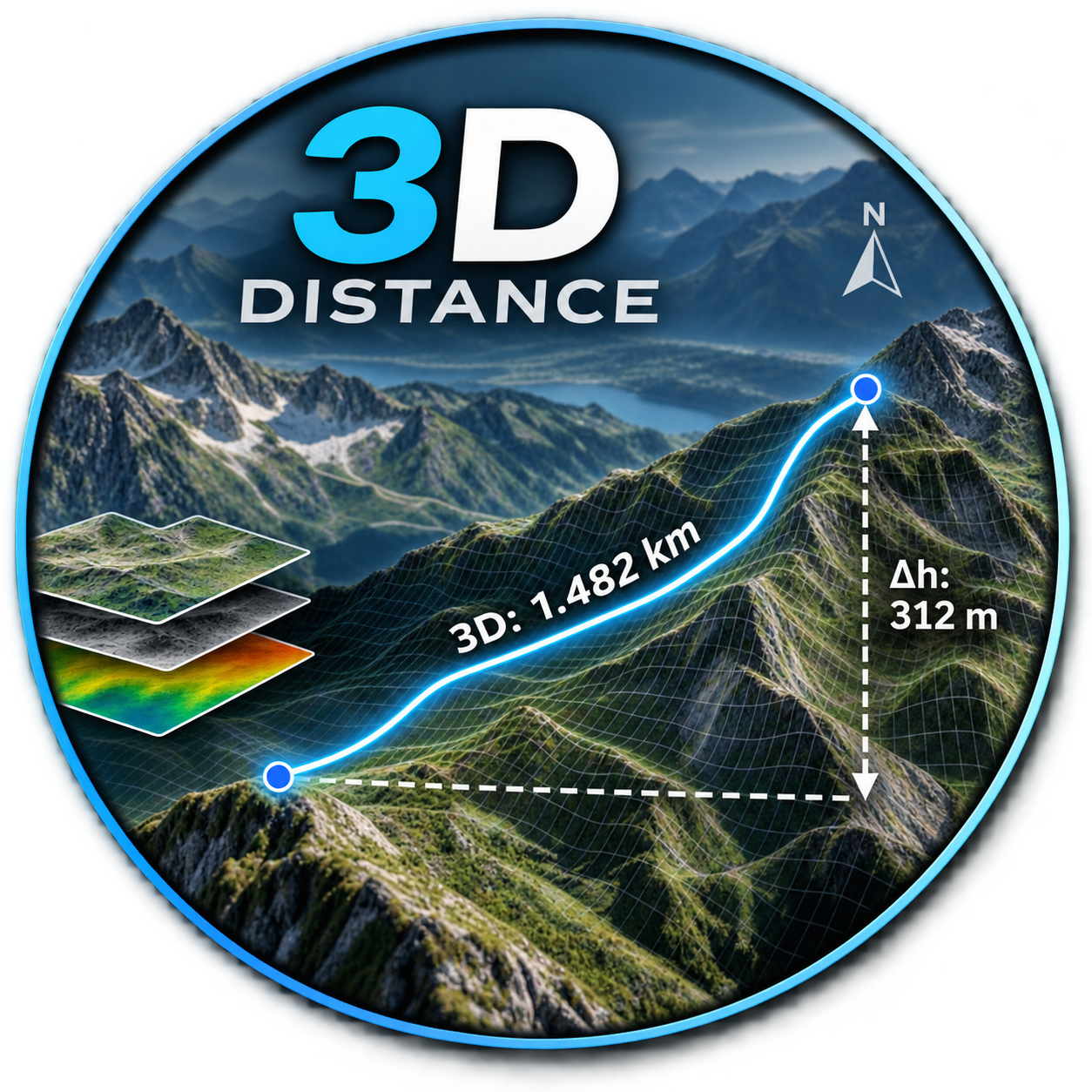
- Distance_3DNot QGIS 4 ready
DE: Beschrifte einen Layer mit der 3D-Länge und dem Azimut. EN: Label a layer with the 3D length and azimuth.
- GeoZarr ViewerNot QGIS 4 ready
Load and visualise GeoZarr-compliant Zarr stores, including Icechunk repositories and their multiscale pyramids.
- HydroNet StudioQGIS 4 ready
[EN] It extracts a topographically consistent drainage network from a DTM/DEM using six flow-routing models: D8, D-Infinity (D∞), Rho8, MFD,
- Morizon NextQGIS 4 ready
Forest zoning support plugin for Japan that examines forest management direction from both forestry profitability and mountain disaster risk
- Uncheck Empty LayersNot QGIS 4 ready
Right-click a layer group and uncheck every layer inside it that has no data.
- DEM CrawlerNot QGIS 4 ready
Masks out altitude or basins upstream or downstream from a starting point.
- Cross Section GeneratorQGIS 4 ready
This plugin generates a cross-section graph based on bore profiles.
- QuickNMTQGIS 4 ready
Download, mosaic and clip Polish NMT/NMPT elevation data from PZGiK with buffered AOI and reliable large-area processing.
- SEEA-QNot QGIS 4 ready
Generates SEEA Ecosystem Accounting extent, physical/monetary flow, and asset accounts from two or more time-series ecosystem type layers -
- Exact Raster Boundary updatedQGIS 4 ready
Creates exact valid-data raster footprints from a single raster file or a folder of raster files using QGIS and GDAL.
- Cadence ConnectorQGIS 4 ready
This plugin connects QGIS to Cadence allowing users to upload files and styling to projects and maps in Cadence.
- Multicollinearity TestNot QGIS 4 ready
This plugin can calculate the Pearson correlation coefficient (r) to identify variables that exhibit multicollinearity
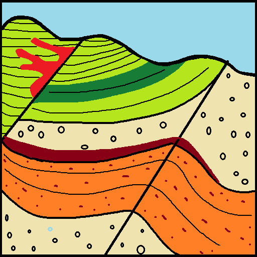
- SecGeolQGIS 4 ready
QGIS plugin for generating geological cross sections and reconstructing interpreted profiles in 3D.
- ReliefEnergyQGIS 4 ready
Relief energy processing tool
- Geodata: Markhöjd direkt (Lantmäteriet)QGIS 4 ready
Get ground elevation from Lantmäteriet's Markhöjd Direkt service: click the map or generate an elevation grid or line profile points.
- GeoFly QGISNot QGIS 4 ready
Photogrammetric flight planning with flight lines, waypoints, GSD, terrain following and DJI Fly KMZ export.
- QuickClipQGIS 4 ready
Szybkie, jednoczesne przycinanie wielu warstw wektorowych i rastrowych do wspólnego obszaru
- WherobotsQGIS 4 ready
Connect to Wherobots Cloud for spatial SQL queries, data upload, and raster operations.
- Ukiyo-e ReliefNot QGIS 4 ready
Renders a DEM as a Japanese woodblock print (ukiyo-e): flat colour plates, bokashi, key-block outlines, misregistration, wood grain and wash
- GeosysAI SyncNot QGIS 4 ready
Sync vector and raster layers between QGIS and a GeosysAI project (pull with styling, push create-or-overwrite).
- ZoneSculptNot QGIS 4 ready
Batch clip georeferenced rasters using polygon AOI boundaries.
- Cave LRUD 2D/3D MapperNot QGIS 4 ready
Converts cave survey shots into 2D passage maps, 3D conduits, and vectorized manual sketches with permanent GeoPackage output, profile views
- SpatialForecastNot QGIS 4 ready
Spatial raster time-series forecasting with 8 curated models, automatic grid harmonisation, validation diagnostics and publication-quality f
- Map Algebra CalculatorQGIS 4 ready
Raster calculator with a choice of engine: PCRaster map algebra, GDAL (numpy syntax) or GRASS r.mapcalc.
- Datacube ViewerNot QGIS 4 ready
Load and visualise datacubes from GeoZarr, Zarr, NetCDF and Icechunk, with multiscale pyramids and sliders for time and other axes.
- Sea Level SliderQGIS 4 ready
Interactive visualisation of historical and prehistoric sea levels over a DEM
- 扇区一键Tilt分析QGIS 4 ready
点击扇区一键将工参参数传入垂直波瓣分析引擎并自动执行分析(DEM 在线默认),输出下倾角建议与覆盖剖面(含地形剖面图,山区看阻挡)。/ Click a sector to auto-pass engineering parameters (azimuth/height/mecha