Home › Categories › Raster & terrain › Page 2
Raster & terrain QGIS plugins Page 2 of 10
QGIS plugins to analyse rasters, elevation models and terrain. 600 plugins, 264 QGIS 4 ready, 424 actively maintained. Sorted by downloads. Showing 61–120.
Related categories: Vector tools · Spatial analysis · Remote sensing · Georeferencing & CAD · Hydrology & water · All categories
- RasterDataPlottingQGIS 4 ready
Create plots visualizing raster data for all pixels currently visible inside the map canvas.
- Magic WandQGIS 4 ready
Auto-making Polygon by MapCanvas
- MultiQmlNot QGIS 4 ready
Apply a style from a QML file to multiple raster or vector layers
- PostGIS Raster ImportQGIS 4 ready
Import Raster to PgRaster
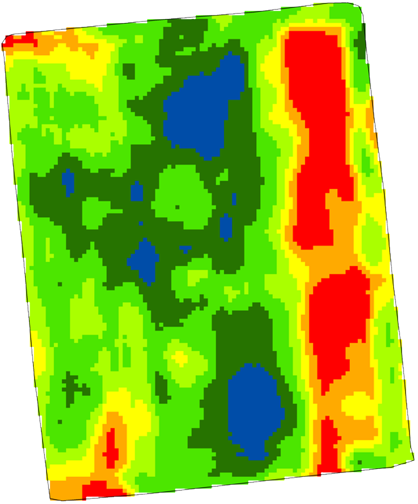
- PAT - Precision Agriculture ToolsNot QGIS 4 ready
A collection of tools for processing precision agriculture data.
- One Click Raster StackingQGIS 4 ready
Adds a toolbar button that lets you quickly stack all raster bands with matching CRS into a single raster to allow RGB visualisations using
- Japanese Grid MeshQGIS 4 ready
Create common grid squares used in Japan. 日本で使われている「標準地域メッシュ」および「国土基本図図郭」のポリゴンを作成できるほか、国勢調査や経済センサスなどの「地域メッシュ統計」のCSVファイルを読み込むこともできます。プロセッシングツ
- AnaximandreQGIS 4 ready
A plugin for auto drawing 3D Shapefiles from topographical survey.
- Catalog on the flyNot QGIS 4 ready
Automatically adds images that are in the catalog layer that intersect with the map area.
- Line ProfileNot QGIS 4 ready
Create line profiles from attribute table in vector layer and color band of raster layer
- RasterAttributeTableNot QGIS 4 ready
Display and manage Raster Attribute Tables.
- Topographic ProfileQGIS 4 ready
This plugin generate a topographic profile from a CSV file.
- ThToolBoxNot QGIS 4 ready
TLUBN Algorithms (formerly TlugProcessing)
- Przechwyć Wysokość GUGiK NMT APIQGIS 4 ready
Pozwala na sprawdzenie wysokości terenu w danym punkcie na podstawie API GUGiK NMT. EN: Allows user to check elevation level of the terrain
- ThRasEQGIS 4 ready
Open-source QGIS plugin for rigorous thematic raster editing with synchronized multi-panel views, recode pixel tables, modification tracking
- Heightmap ExportNot QGIS 4 ready
Easily create 16-bit PNG heightmaps from DEM data.
- Unsupervised ClassifierQGIS 4 ready
Plugin for unsupervised classification or clustering of satellite images. Part of MAS Raster Processing tools.
- Road Slope CalculatorNot QGIS 4 ready
This algorithm is used to calculate the longitudinal slope of forest paths and roads, based on a 2D line vector layer and a DEM (Digital Ele
- Pic2MapQGIS 4 ready
Compute the 3D orientation of a picture and provide the interaction between the picture and the map.
- ElevationTile4JPQGIS 4 ready
Convert elevation tiles provided by Geospatial Information Authority of Japan (GSI) to GeoTiff format DEM.
- Invisible layers and groupsQGIS 4 ready
Make some layers and groups invisible in the QGIS Layer Tree (aka Layers panel).
- JAXA Earth API PluginQGIS 4 ready
QGIS Plugin for JAXA Earth API, easily get satellite datasets.
- Raster DividerNot QGIS 4 ready
This plugin divides raster into equal sized parts.
- GeoTraceNot QGIS 4 ready
Collection of tools extracting trace data from commonly used geoscience rasters such as imagery, topography and geophysics.
- QWaterModelNot QGIS 4 ready
QWaterModel is a simple tool to calculate evapotranspiration from thermal images.
- Save AllNot QGIS 4 ready
File saving script that saves qgis project file and all vector and raster layers into user-specified folder. Automatically detects file type
- LoS ToolsQGIS 4 ready
This plugin creates and analyzes lines-of-sight (LoS) and also provides supporting tools.
- FragScapeNot QGIS 4 ready
Plugin to compute landscape fragmentation metrics (effective mesh size)
- TlugProcessingNot QGIS 4 ready
TLUBN Algorithms (is continued as ThToolBox)
- Raster VisionNot QGIS 4 ready
Work with Raster Vision data in QGIS
- Profile ManagerQGIS 4 ready
Makes handling profiles easy by giving you an UI to easily import settings from one profile to another
- GMSHNot QGIS 4 ready
This is a plugin to interract with the GMSH mesh generator (see http://geuz.org/gmsh).
- PDALtoolsNot QGIS 4 ready
Installs PDALtools Processing provider
- SciPy FiltersQGIS 4 ready
Filter collection implemented with SciPy
- MutantNot QGIS 4 ready
Display values from loaded raster layers in a table or plot optionally ordered by time which can be extracted from the layername (or other s
- MODIS_NITKNot QGIS 4 ready
Plugin to process MODIS data available in HDF Format to user friendly GeoTiff (.tif) format and provide an option for Time Series analysis o
- Toggle Active LayerNot QGIS 4 ready
Plugin for toggle visibility of active layer
- Polygon by clicking in map imageNot QGIS 4 ready
Plugin tool for create polygon from image on map. * Using "Growth Region" plugin
- Topo MapsNot QGIS 4 ready
微地形図の生成。Generate Topographic Maps.
- Tempo Salvo ToolsQGIS 4 ready
🧰 A productivity-focused QGIS plugin for vector, raster, terrain, and 3D mesh workflows, with tools organized by layer type and engineering
- Contour LinesQGIS 4 ready
Generates contour lines from Copernicus GLO-30 worldwide elevation data
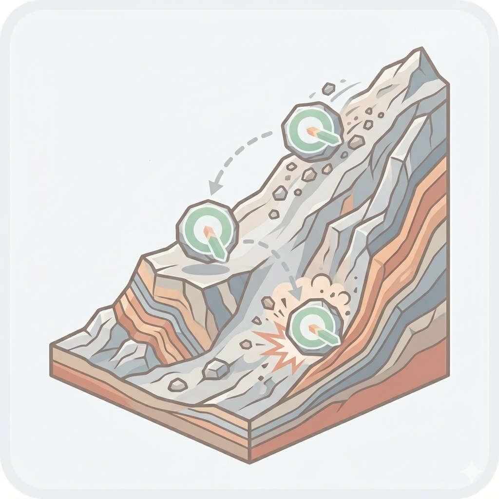
- QProtoQGIS 4 ready
Rockfall analysis plugin based on the Cone Method
- Map Elevation MakerNot QGIS 4 ready
Create contours and shadings for hiking maps - to be used as base layer for QuickOSM presets
- AustrianElevation1mNot QGIS 4 ready
AustrianElevation
- Profile ExportNot QGIS 4 ready
A plugin to export raster profiles to xml files
- Elevation ProfileQGIS 4 ready
High-Precision 2D Terrain Profiling Tool for QGIS with synchronized map hover tooltip and marker polish.
- Track Profile to WebNot QGIS 4 ready
Leaflet interactive web profiles.
- Image FootprintNot QGIS 4 ready
Plugin call Footprint algorithm from IBAMA processing(install by plugin repository).
- Forest Roads NetworkNot QGIS 4 ready
A plugin to create a vectorial network of forest roads of different types according to the flux of timber going through them.
- CoregistrationQGIS 4 ready
Image to image automatic co-registration processing Qgis plugin.
- iMODNot QGIS 4 ready
A plugin to visualize 4D geospatial data, to aid groundwater modellers
- JapanElevationQGIS 4 ready
Display elevation value of specified position on QGIS
- Zonal Exact ExtractNot QGIS 4 ready
Zonal Statistics of rasters using Exact Extract library
- CSMap PluginQGIS 4 ready
DEMをGeoTIFF形式のCS立体図に変換するプラグインです。 A plugin that converts DEM (Digital Elevation Model) into CS (Curvature and Slope) topographical maps in Ge
- pathfinderQGIS 4 ready
A QGIS plugin that helps you locate and work with your layer file paths.
- Advanced Map DownloaderQGIS 4 ready
Advanced map download tool with multiple coordinate input types, canvas drawing, and georeferenced output formats. Part of MAS Raster Proces
- Raster ReclassifierQGIS 4 ready
Raster Reclassifier for QGIS 4 (Qt6). Supports histogram generation, multiple classification methods, manual and interactive interval defini
- qgis2fdsNot QGIS 4 ready
Export wildfire cases to FDS and import temporal FDS results
- RockyCropNot QGIS 4 ready
Automated grid creation, layout generation, and terrain export for Blender integration
- Illini Drainage ToolsNot QGIS 4 ready
Performs Specific Draiange Related Tasks and Analysis on a Site using a LiDAR DEM data.