
Home › Spatial analysis › PAT - Precision Agriculture Tools
PAT - Precision Agriculture Tools QGIS 4 compatibility
Not QGIS 4 ready Quiet
Not yet — the latest version declares max QGIS version 3.99.99, so it is not offered to QGIS 4 users.
A collection of tools for processing precision agriculture data.
About
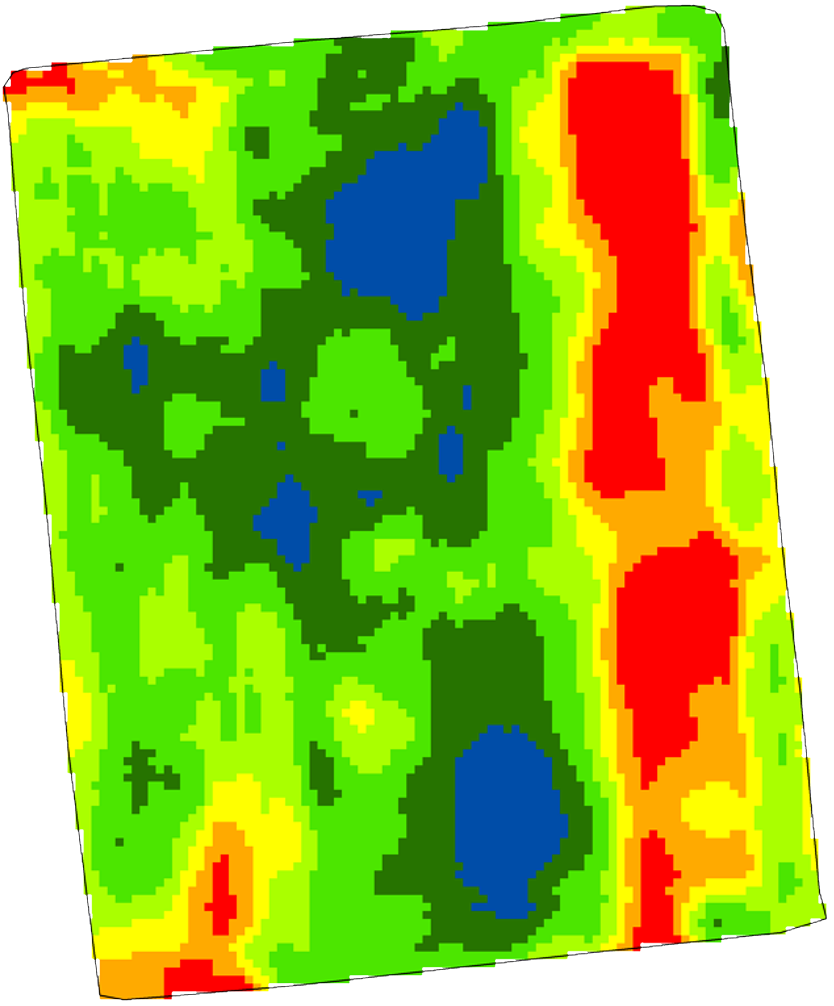
PAT is a QGIS plugin for tools required for processing and analysing precision agriculture data. It includes tools for data cleaning and map interpolation to create TIFF's from high spatial density on-the-go sensor data such as yield monitor or EM38 soil sensor data. There are also tools for analysis of remotely sensed imagery and for the clustering of multiple datasets. . This is a Windows only plugin, This plugin requires the installation of the following Python libraries: pyprecag, fiona, and rasterio. Full installation instructions are provided in the manual available at: https://github.com/CSIRO-Precision-Agriculture/PAT_QGIS_Plugin/blob/master/pat/PAT_User_Manual.pdf . Developed by the CSIRO Precision Agriculture Team, this project is supported by Wine Australia through funding from the Australian Government Department of Agriculture as part of its Rural R&D for Profit program.
| Author | Christina Ratcliff |
|---|---|
| Downloads | 32,132 |
| Latest version | 1.1.0 |
| Last updated | 2025-02-24 (599 days ago) |
| Min QGIS | 3.0.0 |
| Max QGIS | 3.99.99 |
| QGIS 4 ready | No |
| Maintenance | Quiet |
| Categories | Spatial analysis, Raster & terrain |
| Tags | vector, kriging, precision agriculture, csiro, agriculture, raster |
Homepage · Repository · Issue tracker · Official page
Alternatives in Spatial analysis
- Group StatsQGIS 4 ready
Stats and analysis for vector layers data
- Data PlotlyQGIS 4 ready
D3 Plots for QGIS
- CrayfishQGIS 4 ready
Tools for mesh layers QGIS



Related plugins
- Best Fit InterpolatorQGIS 4 ready
Decision-support plugin for selecting, validating, and applying spatial interpolation methods in QGIS.
- AI Edit by TerraLabQGIS 4 ready
Generative AI image editing for QGIS 3.22 to 4. Show a redevelopment, a planted street, a flood or an orthophoto redrawn as a clean site pla
- RAVIQGIS 4 ready
Per-date Sentinel-2 vegetation-index time series (NDVI, EVI, NDRE…) with cloud masking, plus multispectral imagery download / Séries tempora
- Agriculture Index CalculatorQGIS 4 ready
Calculate 52 spectral indices from Sentinel-2 and Landsat 8/9 imagery in one click. Includes NDVI, EVI, NDWI, BSI, LAI and 47 more — with cl
- FARM toolsQGIS 4 ready
Toolbox of geo-analytics modules for research, education, agriculture, and land monitoring: vegetation index time series, multispectral/SAR/
- LeafEngines Agricultural IntelligenceQGIS 4 ready
Access USDA soil data, EPA water quality, AI crop recommendations, carbon credit calculations, and environmental impact analysis for any US






Maintenance: Active = updated within 1 year, Quiet = 1–3 years, Likely abandoned = over 3 years.