
Home › Raster & terrain › Road Slope Calculator
Road Slope Calculator QGIS 4 compatibility
Not QGIS 4 ready Quiet
Not yet — the latest version declares max QGIS version 3.99.0, so it is not offered to QGIS 4 users.
This algorithm is used to calculate the longitudinal slope of forest paths and roads, based on a 2D line vector layer and a DEM (Digital Elevation Model). It should not be used on national road systems, such as highways, motorways, national and regional roads, which have engineering works designed to smooth the slope (bridges, excavations, landfills, etc.), unless the user has access to a high precision Digital Surface Model (DSM). Not to be used with line vector layers in geographic coordinates.
About
To run this plugin, go to Processing menu, open Toolbox window, and look for Road Slope -> Road slope calculator. For more (important) information, visit https://github.com/Almeida100/RSC.
| Author | Antonio Sobral Almeida |
|---|---|
| Downloads | 22,965 |
| Latest version | 0.6 |
| Last updated | 2025-08-20 (422 days ago) |
| Min QGIS | 3.16.0 |
| Max QGIS | 3.99.0 |
| QGIS 4 ready | No |
| Maintenance | Quiet |
| Categories | Raster & terrain, Network & routing |
| Tags | routing, processing, line, distance, geometry |
Homepage · Repository · Issue tracker · Official page
Alternatives in Raster & terrain
- Profile toolQGIS 4 ready
Plots terrain profile
- Qgis2threejsQGIS 4 ready
3D map visualization and web export powered by three.js JavaScript library
- SRTM-DownloaderQGIS 4 ready
Downloads SRTM Tiles from NASA Server


Related plugins
- AzimuthToolNot QGIS 4 ready
A powerful QGIS plugin for generating vector line layers from azimuths or quadrant bearings and distances, starting from a user-defined poin
- TravelTime PluginQGIS 4 ready
Get travel time polygons from the TravelTime API directly from QGIS
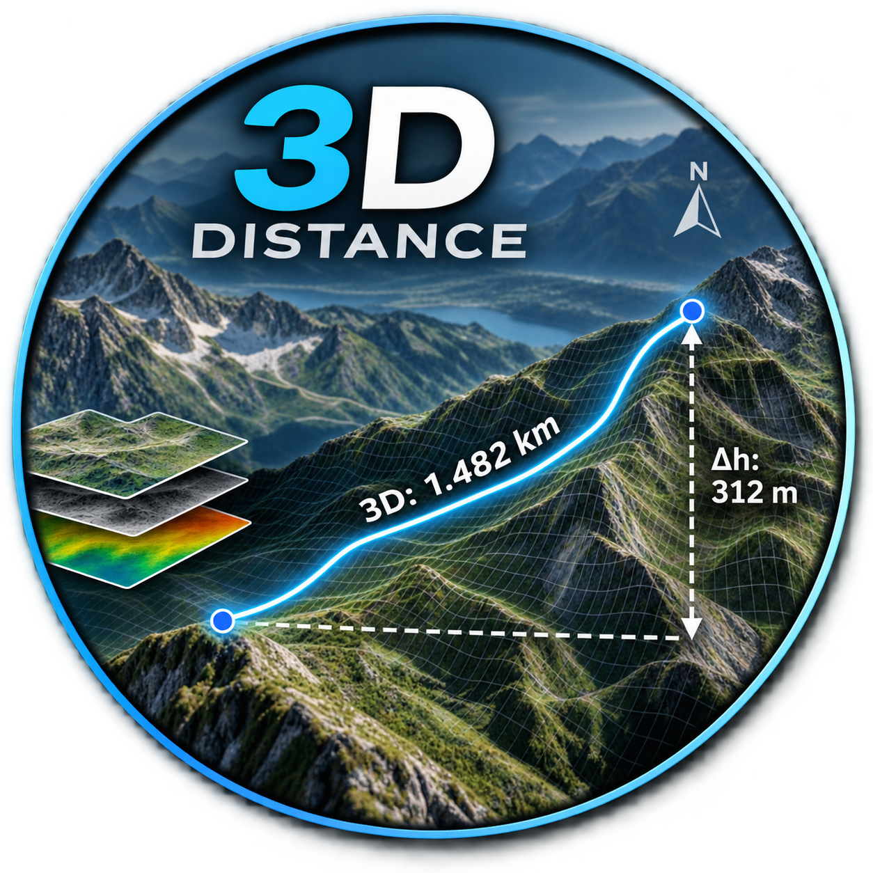
- Distance_3DNot QGIS 4 ready
DE: Beschrifte einen Layer mit der 3D-Länge und dem Azimut. EN: Label a layer with the 3D length and azimuth.
- Short PathNot QGIS 4 ready
Find shortest path between points based on line (network) layer.
- Network TopologyQGIS 4 ready
Toolkit to clean and build the topology of line networks (roads, rivers, pipelines, railways).
- Генератор укосівNot QGIS 4 ready
Автоматизована побудова укосів, обривів та підпірних стінок




Maintenance: Active = updated within 1 year, Quiet = 1–3 years, Likely abandoned = over 3 years.