Home › Categories › Raster & terrain › Page 3
Raster & terrain QGIS plugins Page 3 of 10
QGIS plugins to analyse rasters, elevation models and terrain. 600 plugins, 264 QGIS 4 ready, 424 actively maintained. Sorted by downloads. Showing 121–180.
Related categories: Vector tools · Spatial analysis · Remote sensing · Georeferencing & CAD · Hydrology & water · All categories
- Forest Road DesignerNot QGIS 4 ready
This plugin serves as support of foresters in the design of forest roads
- geoCoreNot QGIS 4 ready
Creates graphical representations of geoscientific drillings
- Download raster GEENot QGIS 4 ready
download_raster_gee
- Webmap UtilitiesNot QGIS 4 ready
This plugin provides tools for clustered and hierarchical visualization of vector layers, creation of Relief Shading and management of scale
- PPConverterNot QGIS 4 ready
Convert PhoToPlan-images to GeoTIFFs
- Terra AntiquaNot QGIS 4 ready
This plugin creates digital elevation models of paleogeographic maps.
- ClimbNot QGIS 4 ready
Calculate climb and descent for a line dataset.
- Find DatasetNot QGIS 4 ready
Finds datatesets, from a specific folder(s), that intersect a location in the map
- raster2postgisQGIS 4 ready
Import raster to postgis
- KarikaQGIS 4 ready
Terrain generalization
- Trail Elevation StatsNot QGIS 4 ready
Calculate information such as cumulative elevation gain from a DEM and a line layer.
- WAPluginNot QGIS 4 ready
Provides access to all the WaPOR data and includes it in the QGIS canvas as another raster layer, providing WaPOR data easy access to the QG
- PisteCreatorNot QGIS 4 ready
Display along and cross slope infos when editing line layer.
- CHM from LIDARNot QGIS 4 ready
This plugin creates the Canopy Height Model (CHM) from LIDAR data (DTM and DSM First Pulse).
- movecostQGIS 4 ready
R script for QGIS for Calculation of Slope-Dependent Accumulated Cost Surface, Least-Cost Paths, and Least-Cost Corridors Related to Human M
- qgis2rasterliteQGIS 4 ready
import raster into spatialite5 database
- Potential Slope FailureNot QGIS 4 ready
This plugin maps potential slope failures in cohesive soils
- radolan2mapNot QGIS 4 ready
Brings DWD precipitation products like RADOLAN, RADKLIM and REGNIE onto a map
- Thin greyscale image to skeletonNot QGIS 4 ready
Thin a greyscale image to a skeleton
- Delft3D Flexible MeshNot QGIS 4 ready
This plugin allows opening and saving of .xyz/.pli/.pol-files.
- Shoreline IdentifierNot QGIS 4 ready
This plugin is used for the identification of shore lines starting from topographic surveys
- STL GeneratorNot QGIS 4 ready
Generate STLs for 3D printing
- Lidar ManagerNot QGIS 4 ready
Manage lidar (dtm/dsm) dataset from Tile Index Layer
- Hypsometric CurveQGIS 4 ready
This plugin calculates the hypsometric curve of a drainage basin using a DEM raster layer and a vector polygon representing the basin bounda
- Isoliner - грид и изолинииQGIS 4 ready
2D kriging (GSLIB KB2D) and isoline / contour-polygon generation in QGIS. Кригинг 2D (GSLIB KB2D) и построение изолиний/контурных полигонов
- CWSINot QGIS 4 ready
CWSI is a QGIS3 plugin that helps to calculate the CWSI (crop water stress index) from thermal images.
- D.E.M. SlicerQGIS 4 ready
D.E.M. slicer, an 'artistic' relief cutting tool
- Geovita GIS Processing providerQGIS 4 ready
Aims to bring different Geovita custom geological and geotechnical processing algorithms to QGIS
- Linear Theory Orographic PrecipitationNot QGIS 4 ready
Implements the Smith & Barstad (2004) LT model
- LiDAR Forestry HeightNot QGIS 4 ready
LiDAR Forestry Height generates a DEM with the forest height, calculated from a classified LiDAR point cloud
- Surface Water StorageNot QGIS 4 ready
This plugin generates the inundation area and elevation-area-volume graph for an area.
- profileAARQGIS 4 ready
The plugin profileAAR transforms profile control points for fotogrammetric rectification of section images of archaeological excavations
- Band StackerQGIS 4 ready
A plugin to stack bands from selected raster layers. Part of MAS Raster Processing tools.
- MapDownloaderNot QGIS 4 ready
Download georeferenced maps from any layer as GeoTIFF or MBTiles; supports bbox/center extents, zoom range or single-shot, neighbour padding
- ViewDroneNot QGIS 4 ready
A QGIS plugin for viewshed analysis in drone mission planning
- ArrNormQGIS 4 ready
Apply the automatic relative radiometric normalization to the target image based on reference image using the IR-MAD algorithm
- FLO-2D RasterizorNot QGIS 4 ready
A plugin to rasterize general FLO-2D output files.
- Bit Flag RendererNot QGIS 4 ready
Visualization of raster pixel bit values.
- Urban Green SARCANot QGIS 4 ready
Plugin for analysis of radioactive contamination of vegetation cover in (mostly) urban environment
- Wetland Vulnerability Analysis ToolNot QGIS 4 ready
Analyze wetland vulnerability
- Toggle Group VisibilityNot QGIS 4 ready
Plugin for change the visibility of each item in a group by automatically or manually.
- Raster BlasterQGIS 4 ready
Speed up georeferencing processing using GDAL and full system resources.
- DEM Drainage AnalysesNot QGIS 4 ready
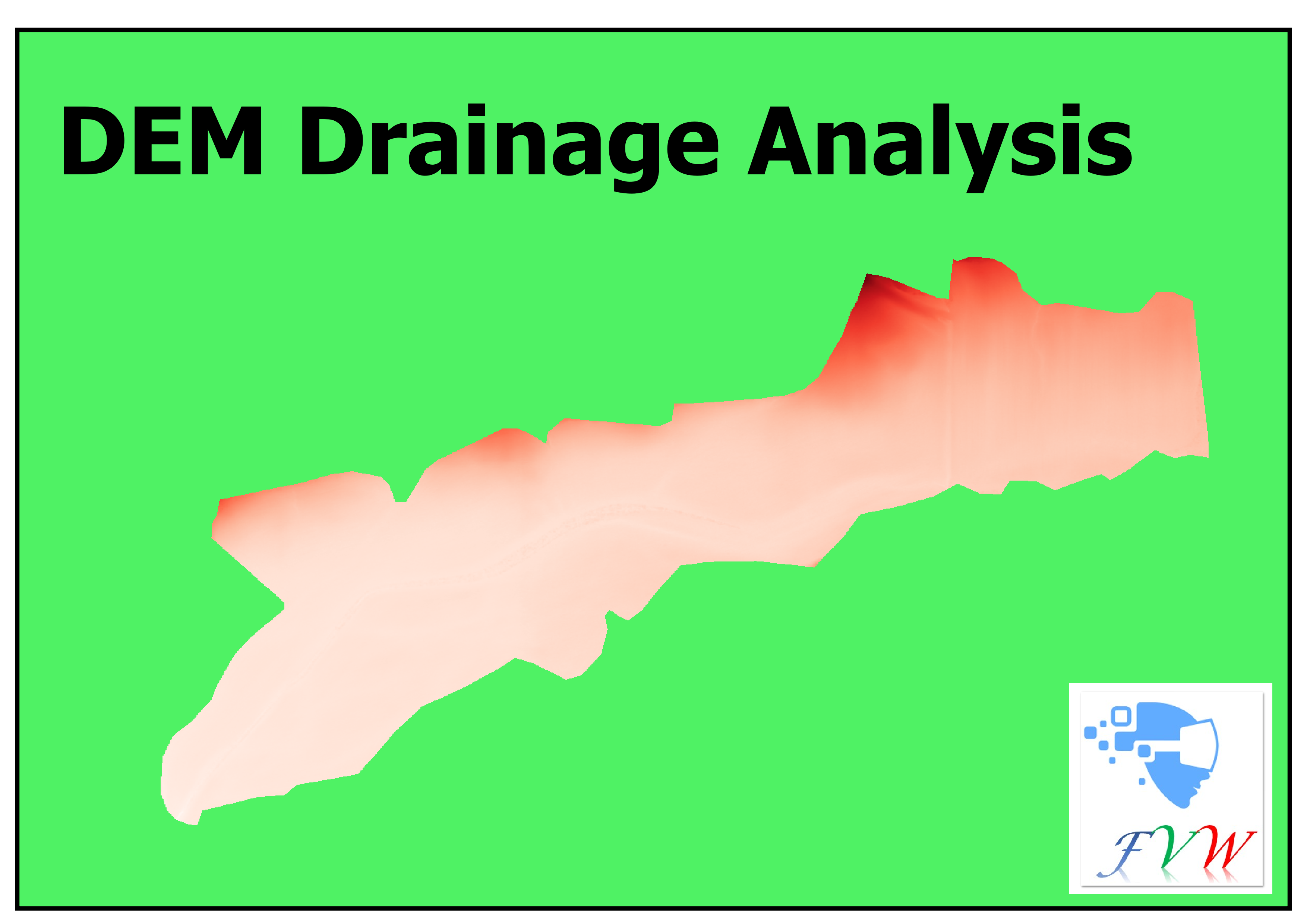
This plugin performs specific DEM analyses on drainage sites.
- Visible LayersQGIS 4 ready
Quickly filter and display only the visible layers in your project.
- Precision ZonesNot QGIS 4 ready
Create management zones from rasters using PCA and K-Means with Elbow and Silhouette metrics, plus resampling, variance-reduction analysis,
- NIB-ortofoto-prosjektQGIS 4 ready
Henter alle ortofoto- (inkl. midlertidige), Satellitt- og Infrarødt-prosjekt fra Norge i bilder (WMS) som ligger innafor et utsnitt. Fetches
- Minimum Spanning TreeNot QGIS 4 ready
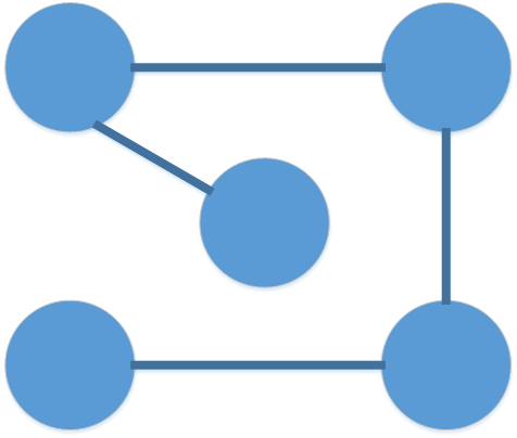
This plugin creates minimum spanning trees in multiple ways.
- LandXML to MeshNot QGIS 4 ready
Conversion of LandXML to Mesh and vice versa
- Basemap Tile DownloaderQGIS 4 ready
Download a WMS, WMTS, WCS, XYZ, or ArcGIS REST basemap over an extent and mosaic it into a GeoTIFF.
- EnviFateNot QGIS 4 ready
EnviFate: Open source tool for environmental risk analysis
- Simple WCS 2QGIS 4 ready
Provides basic support for OGC WCS 2.X and tiff format
- RasterizeStringNot QGIS 4 ready
This plugin extends gdal rasterize command to burn values from non-numeric field.
- PlanX 3D City ViewerQGIS 4 ready
Export QGIS layers and launch the interactive PlanX 3D City web viewer.
- USM toolset (Urban Sprawl Metric toolset)QGIS 4 ready
The USM Toolset calculates Weighted Urban Proliferation (WUP) and its components (PBA, DIS, LUP) for user-defined reporting units. Includes
- Mesh ToolsQGIS 4 ready
Tools for management of Data on mesh (Telemac, Uhaina).
- GeoPackage ConverterQGIS 4 ready
Batch convert vector and raster files (SHP, TAB, KML, GML, GeoJSON, DXF, GPX, MIF, ZIP, RAR, TIF, ASC, IMG…) and remote layers (WFS, WCS, Ar
- WAsP scriptingNot QGIS 4 ready
Scripts for fetching, creating and saving WAsP map files
- LiDAR Relief VisualizationQGIS 4 ready
A free, open-source QGIS toolkit with 31 Processing algorithms for archaeological LiDAR visualization and terrain analysis. Reveal subtle ea
- GeoRaster ToolsQGIS 4 ready
Raster vectorization, spectral indices (NDVI/EVI/SAVI/NDWI/MNDWI/NDBI/NBR/BSI/NDSI/NDRE), terrain analysis, zonal stats, K-Means and Random
- ArcGIS ImageServer DownloaderQGIS 4 ready
Download raster tiles from ArcGIS ImageServer REST services and create Cloud Optimized GeoTIFFs (COGs)