
Home › Raster & terrain › Climb
Climb QGIS 4 compatibility
Not QGIS 4 ready Likely abandoned
Not yet — the latest version declares max QGIS version 3.99.0, so it is not offered to QGIS 4 users.
Calculate climb and descent for a line dataset.
About
Processing algorithm that returns an output line layer containing the total climb and descent as well as the minimum and maximum elevation for each polyline of the input line dataset based on the Z values of the points making up the lines. The Z values for the points can be taken from a user specified DEM (requires QGIS >= 3.4.5). The grand total climb and descent, as well as the global minimum and maximum elevation for all the lines in the input dataset are provided as output parameters.
| Author | Håvard Tveite, NMBU |
|---|---|
| Downloads | 10,972 |
| Latest version | 1.1 |
| Last updated | 2019-05-07 (2719 days ago) |
| Min QGIS | 3.4.0 |
| Max QGIS | 3.99.0 |
| QGIS 4 ready | No |
| Maintenance | Likely abandoned |
| Categories | Raster & terrain, Vector tools |
| Tags | dem, vector, line, dtm, polyline, climb, descent |
Homepage · Repository · Issue tracker · Official page
Alternatives in Raster & terrain
- Profile toolQGIS 4 ready
Plots terrain profile
- Qgis2threejsQGIS 4 ready
3D map visualization and web export powered by three.js JavaScript library
- SRTM-DownloaderQGIS 4 ready
Downloads SRTM Tiles from NASA Server


Related plugins
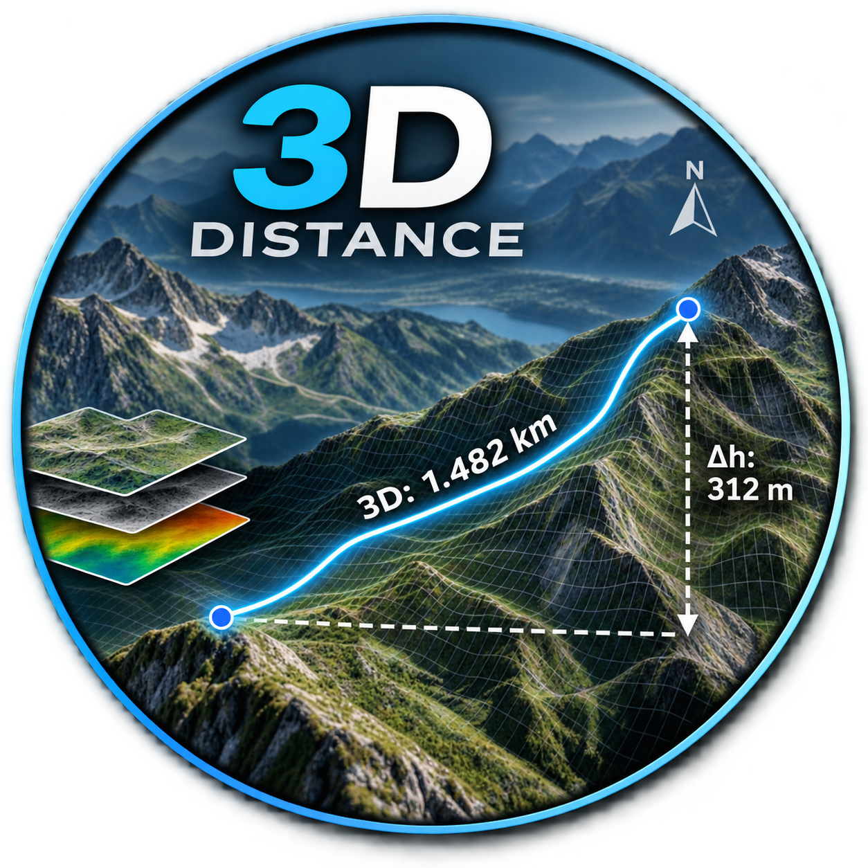
- Distance_3DNot QGIS 4 ready
DE: Beschrifte einen Layer mit der 3D-Länge und dem Azimut. EN: Label a layer with the 3D length and azimuth.
- Create points on arcs' intersectionNot QGIS 4 ready
The plugin creates a new layer with points on arcs' intersection within the same layer
- Geometry ComparatorNot QGIS 4 ready
Detects changes between two vector layers (Polygon, Line or Point) by comparing features based on a Unique ID field and their geometries, id
- Points Along 3D LineNot QGIS 4 ready
Generates points at constant 3D (surface) distances along lines, with elevation from a DTM raster and detailed geometry attributes.
- D.E.M. SlicerQGIS 4 ready
D.E.M. slicer, an 'artistic' relief cutting tool
- Line Node ProcessorNot QGIS 4 ready
Sample points along lines at fixed distance and/or original vertices with KP/azimuth/2D/3D and elevation sampling. GUI in Plugins menu.



Maintenance: Active = updated within 1 year, Quiet = 1–3 years, Likely abandoned = over 3 years.