
Home › Spatial analysis › Precision Zones

Precision Zones QGIS 4 compatibility
Not QGIS 4 ready Active
Not yet — the latest version declares max QGIS version 3.99.0, so it is not offered to QGIS 4 users.
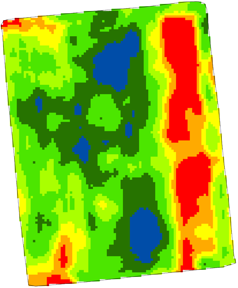
Create management zones from rasters using PCA and K-Means with Elbow and Silhouette metrics, plus resampling, variance-reduction analysis, optional zone smoothing (Mode Filter), and rich CSV/PNG exports.
About
Features: - Resampling & raster value extraction inside a boundary. - PCA with explained variance table (incl. Eigenvalue λ) and CSV export. - K-Means clustering with Elbow curve and Silhouette score; export indices; generate zones as a raster. - Optional zone smoothing (Mode Filter): SAGA Majority/Minority. - Variance Reduction analysis from zones and external points CSV; per-zone statistics and boxplots (PNG).
| Author | Derlei Melo, Isabella Cunha, Lucas Amaral (FEAGRI - UNICAMP) |
|---|---|
| Downloads | 6,970 |
| Latest version | 2.2.0 |
| Last updated | 2026-01-27 (262 days ago) |
| Min QGIS | 3.34.0 |
| Max QGIS | 3.99.0 |
| QGIS 4 ready | No |
| Maintenance | Active |
| Categories | Spatial analysis, Web maps & export, Raster & terrain |
| Tags | k-means, pca, saga, management zones, variance reduction, raste, precision agriculture, resampling, silhouette, elbow |
Homepage · Repository · Issue tracker · Official page
Alternatives in Spatial analysis
- Group StatsQGIS 4 ready
Stats and analysis for vector layers data
- Data PlotlyQGIS 4 ready
D3 Plots for QGIS
- CrayfishQGIS 4 ready
Tools for mesh layers QGIS



Related plugins
- Agriculture Index CalculatorQGIS 4 ready
Calculate 52 spectral indices from Sentinel-2 and Landsat 8/9 imagery in one click. Includes NDVI, EVI, NDWI, BSI, LAI and 47 more — with cl
- AGT - Archaeological Geophysics ToolboxNot QGIS 4 ready
This plugin provides basic tools for processing archaeo-geophysical data: Geoscan Research RM15/RM85, Sensys MXPDA, Bartington Grad601, Geon
- GIS Work AgentQGIS 4 ready
Prompt-driven GIS work assistant for QGIS that turns simple everyday text into vector, raster, table and multi-step Processing workflows.
- SciPy FiltersQGIS 4 ready
Filter collection implemented with SciPy
- PAT - Precision Agriculture ToolsNot QGIS 4 ready
A collection of tools for processing precision agriculture data.
- Raster ResamplerQGIS 4 ready
Upscale and downscale satellite raster imagery using all GDAL resampling methods




Maintenance: Active = updated within 1 year, Quiet = 1–3 years, Likely abandoned = over 3 years.