
Home › Raster & terrain › SecGeol
SecGeol QGIS 4 compatibility
QGIS 4 ready Active
Yes — SecGeol supports QGIS 4 (declared max version 4.99.0).
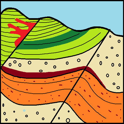
QGIS plugin for generating geological cross sections and reconstructing interpreted profiles in 3D.
About
SecGeol is a QGIS plugin for generating topographic profiles from DEMs or contour lines, integrating geological and structural information, converting interpreted profile lines into polygons, and reconstructing geological profiles in real-world 3D coordinates.
| Author | Aura Ramos Lora |
|---|---|
| Downloads | 113 |
| Latest version | 1.0.0 |
| Last updated | 2026-09-28 (17 days ago) |
| Min QGIS | 4.0.0 |
| Max QGIS | 4.99.0 |
| QGIS 4 ready | Yes |
| Maintenance | Active |
| Category | Raster & terrain |
| Tags | geology, cross section, geological profile, 3d, dem, structural geology |
Homepage · Repository · Issue tracker · Official page
Alternatives in Raster & terrain
- Profile toolQGIS 4 ready
Plots terrain profile
- Qgis2threejsQGIS 4 ready
3D map visualization and web export powered by three.js JavaScript library
- SRTM-DownloaderQGIS 4 ready
Downloads SRTM Tiles from NASA Server


Related plugins
- iMODNot QGIS 4 ready
A plugin to visualize 4D geospatial data, to aid groundwater modellers
- Geological 3D Cross SectionNot QGIS 4 ready
Place a 2D geological cross-section into 3D space between two real-world points (A and B) / Posiziona una sezione geologica 2D nello spazio
- Sec InterpQGIS 4 ready
Data extraction for geological interpretation
- StereoplotQGIS 4 ready
Interactive stereographic projection plotting and analysis tool for QGIS
- GeolAttitudeQGIS 4 ready
Plugin for for interactive estimation the attitude of geologic planar features from DTMs. Implements user-selectable fitting methods and unc
- ThToolBoxNot QGIS 4 ready
TLUBN Algorithms (formerly TlugProcessing)



Maintenance: Active = updated within 1 year, Quiet = 1–3 years, Likely abandoned = over 3 years.