
Home › Raster & terrain › GeolAttitude
GeolAttitude QGIS 4 compatibility
QGIS 4 ready Active
Yes — GeolAttitude supports QGIS 4 (declared max version 4.99.0).
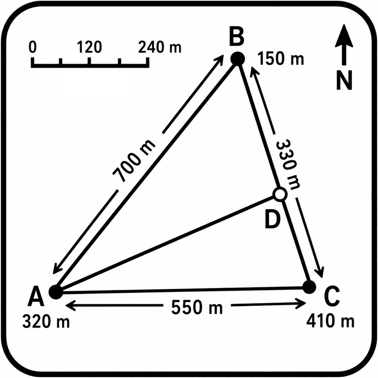
Plugin for for interactive estimation the attitude of geologic planar features from DTMs. Implements user-selectable fitting methods and uncertainty analysis. It is developed by a geologist, for geologists with the right attitude!
About
Interactive plug-in for photogeologic interpretations of geologic planar features. Computes geologic structures dip, dip direction and strike from interactively selected points sampled from a DTM raster. Click points on imagery or map canvas, sample elevation from a selected DTM, fit a best-fit plane and compute structural attitude parameters. Designed for terrestrial and planetary projected DTMs. Implements user-selectable fitting methods. Implements user-selectable fitting methods.
| Author | Alessandro Frigeri |
|---|---|
| Downloads | 519 |
| Latest version | 0.2.13 (experimental) |
| Last updated | 2026-08-17 (59 days ago) |
| Min QGIS | 3.44.0 |
| Max QGIS | 4.99.0 |
| QGIS 4 ready | Yes |
| Maintenance | Active |
| Category | Raster & terrain |
| Tags | geology, dem, dtm, dip direction, planetary geology, dip, structural geology, strike |
Homepage · Repository · Issue tracker · Official page
Alternatives in Raster & terrain
- Profile toolQGIS 4 ready
Plots terrain profile
- Qgis2threejsQGIS 4 ready
3D map visualization and web export powered by three.js JavaScript library
- SRTM-DownloaderQGIS 4 ready
Downloads SRTM Tiles from NASA Server


Related plugins
- GeoDipQGIS 4 ready
Automates the plotting of structural geology measurements (Dip and Dip-Direction).
- StereonetStudioQGIS 4 ready
Professional stereographic projection (stereonet): polar/equatorial grid, poles, density contours, rose diagram, kinematic analysis (planar
- Dip-Strike ToolsQGIS 4 ready
Tools for digitizing, managing, and analyzing plane orientation data (dip and strike) of planar geologic features.
- Structural Families MapperQGIS 4 ready
Structural geology workflow: CSV/Excel import with QA/QC validation, GeoPackage layers with geological symbology, Rose/Schmidt/Wulff diagram
- Limiti GeoNot QGIS 4 ready
Intersects a DTM file and a geological plane, given dip and dip direction
- DipStrike To KMZQGIS 4 ready
Exports dip/strike point layers to KMZ with fully preserved symbol rotation. Fixes the rotation loss bug in QGIS's built-in KMZ exporter.



Maintenance: Active = updated within 1 year, Quiet = 1–3 years, Likely abandoned = over 3 years.