
Home › Raster & terrain › 扇区一键Tilt分析

扇区一键Tilt分析 QGIS 4 compatibility
QGIS 4 ready Active
Yes — 扇区一键Tilt分析 supports QGIS 4 (declared max version 4.99.0).
点击扇区一键将工参参数传入垂直波瓣分析引擎并自动执行分析(DEM 在线默认),输出下倾角建议与覆盖剖面(含地形剖面图,山区看阻挡)。/ Click a sector to auto-pass engineering parameters (azimuth/height/mechanical+electrical tilt) into a vertical beam analysis engine, run analysis in one click (online DEM by default), and output tilt suggestions with a terrain profile (mountain blocking view).
About
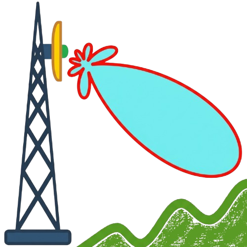
扇区一键 Tilt 分析插件。点击地图任意矢量要素(扇区/工参/站点层),自动解析小区号(UniqueID)、发现工参图层、提取方位角/挂高/机械与电子下倾,填入垂直波瓣分析对话框并自动运行分析,输出下倾角建议与覆盖剖面。内置地形剖面图(铁塔+主/上/下波束 vs 地形剖面),山区场景可直观查看山体阻挡与遮挡角;DEM 默认在线(Open-Meteo),无需本地高程数据。垂直波瓣分析引擎已内嵌(vendor/,派生自 TiltMaster,GPLv3),无需安装其他插件;项目内需至少一个栅格图层(DEM 或底图)。/ Sector one-click Tilt analysis plugin. Click any vector feature (sector / engineering-parameter / site layer) on the map: it automatically parses the cell UniqueID, discovers the engineering-parameter layer, extracts azimuth/height/mechanical and electrical tilt, fills them into the vertical beam analysis dialog and auto-runs the analysis, outputting tilt suggestions and a coverage profile. Built-in terrain profile (tower + main/upper/lower beams vs terrain), making mountain blocking and shielding angles visible; DEM online by default (Open-Meteo), no local elevation data needed. The vertical beam analysis engine is embedded (vendor/, derived from TiltMaster, GPLv3); no other plugin needed. At least one raster layer (DEM or basemap) is required in the project.
| Author | 陈建雨 |
|---|---|
| Downloads | 23 |
| Latest version | 0.2.1 |
| Last updated | 2026-10-13 (3 days ago) |
| Min QGIS | 3.16.0 |
| Max QGIS | 4.99.0 |
| QGIS 4 ready | Yes |
| Maintenance | Active |
| Category | Raster & terrain |
| Tags | telecom, 5g, nr, network-optimization, base-station, sector, antenna, mechanical-tilt, electrical-tilt, tilt, beam, vertical-beam, coverage, rf-optimization, engineering-parameter, gongcan, mr, rf-planning |
Homepage · Repository · Issue tracker · Official page
Alternatives in Raster & terrain
- Profile toolQGIS 4 ready
Plots terrain profile
- Qgis2threejsQGIS 4 ready
3D map visualization and web export powered by three.js JavaScript library
- SRTM-DownloaderQGIS 4 ready
Downloads SRTM Tiles from NASA Server


Related plugins
- TiltMaster - RF Vertical AnalysisNot QGIS 4 ready
Advanced RF Vertical Analysis and Tilt Optimization for Telecom Planning
- KRAKENQGIS 4 ready
Key RF Analytic Kit for Engineering Networks
- QuickSectorNot QGIS 4 ready
Generate RF sector polygons in seconds inside QGIS. Designed for telecom engineers to automate sector creation.
- RF ToolsQGIS 4 ready
Simple Tools for RF and Wireless Telecom Engineers.
- 法术网优工具QGIS 4 ready
通信网优专用工具,支持基站扇区图层生成、邻区关系规划、PCI规划等
- 邻区规划工具QGIS 4 ready
A 4G/5G neighbor planning plugin with field mapping, azimuth scoring, spatial index, and QGIS 3.x/4.x support.(4G/5G 邻区规划插件,支持字段映射、方位角评分、空间索




Maintenance: Active = updated within 1 year, Quiet = 1–3 years, Likely abandoned = over 3 years.