
Home › Raster & terrain › DEM Resample Interpolator
DEM Resample Interpolator QGIS 4 compatibility
Not QGIS 4 ready Active
Not yet — the latest version declares max QGIS version 3.99.0, so it is not offered to QGIS 4 users.
Professional DEM resampling tool for high-resolution terrain analysis using Bilinear, Bicubic, and Lanczos interpolation methods.
About
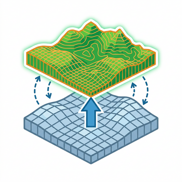
DEM Resample Interpolator is a plugin for upsampling or downsampling Digital Elevation Model (DEM) rasters to any target resolution (e.g., 0.5m to 0.2m). It supports three high-quality interpolation algorithms: Bilinear (smooth gradients, ideal for general terrain), Bicubic (sharper, higher-order, suited for DEM upsampling), and Lanczos (sinc-based, best quality for significant resolution increases). The plugin includes a built-in method description panel so users understand how each algorithm works and when to use it, a live progress bar, and error handling. Developed for GIS professionals in power transmission, infrastructure, and terrain analysis workflows.
| Author | Vicky Sharma |
|---|---|
| Downloads | 2,271 |
| Latest version | 1.0 |
| Last updated | 2026-03-13 (217 days ago) |
| Min QGIS | 3.0.0 |
| Max QGIS | 3.99.0 |
| QGIS 4 ready | No |
| Maintenance | Active |
| Categories | Raster & terrain, Spatial analysis |
| Tags | dem, terrain, elevation, lanczos, bilinear, resample, raster, bicubic, interpolation |
Homepage · Repository · Issue tracker · Official page
Alternatives in Raster & terrain
- Profile toolQGIS 4 ready
Plots terrain profile
- Qgis2threejsQGIS 4 ready
3D map visualization and web export powered by three.js JavaScript library
- SRTM-DownloaderQGIS 4 ready
Downloads SRTM Tiles from NASA Server


Related plugins
- Temporal ResampleNot QGIS 4 ready
This plugin resamples a vector layer based on a delta time.
- Isoliner - грид и изолинииQGIS 4 ready
2D kriging (GSLIB KB2D) and isoline / contour-polygon generation in QGIS. Кригинг 2D (GSLIB KB2D) и построение изолиний/контурных полигонов
- EarthWorkQQGIS 4 ready
Earthwork quantities for sites and road corridors: weighted grid integration and end-area sections, void-ratio volume conversion, daylighted
- TiltMaster - RF Vertical AnalysisNot QGIS 4 ready
Advanced RF Vertical Analysis and Tilt Optimization for Telecom Planning
- Auto Contour GeneratorNot QGIS 4 ready
Automatically generates styled major/minor contour lines from a DEM raster or an elevation point layer, with optional hillshade, slope, aspe
- Fill Attribute GapsNot QGIS 4 ready
Interpolate missing (NULL) attribute values between known key points using linear, nearest-neighbor, cubic spline, or step interpolation.






Maintenance: Active = updated within 1 year, Quiet = 1–3 years, Likely abandoned = over 3 years.