
Home › Remote sensing › Landcover Encoding Plugin

Landcover Encoding Plugin QGIS 4 compatibility
Not QGIS 4 ready Active
Not yet — the latest version declares max QGIS version 3.99.0, so it is not offered to QGIS 4 users.
Assigns each polygon the dominant and subdominant land cover class from an underlying raster with proportional coverage percentages. Includes a built-in land cover legend (34 classes) with optional custom CSV override.
About
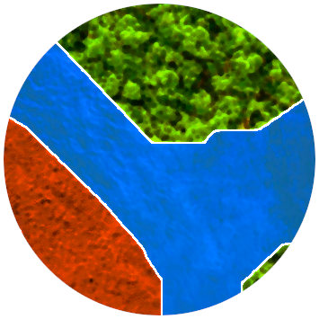
A processing-based plugin for land cover classification of segmented polygons. For each polygon in a vector layer, the tool extracts raster pixel values, computes the majority (dominant) and second-majority (subdominant) classes, and resolves class labels from a built-in legend or a user-supplied CSV. Invalid geometries are repaired automatically. CRS mismatches are handled on the fly.
| Author | Santhosh M |
|---|---|
| Downloads | 546 |
| Latest version | 1.0.0 |
| Last updated | 2026-04-01 (198 days ago) |
| Min QGIS | 3.22.0 |
| Max QGIS | 3.99.0 |
| QGIS 4 ready | No |
| Maintenance | Active |
| Categories | Remote sensing, Raster & terrain, Vector tools |
| Tags | classification, vector, majority, zonal, land cover, raster, segmentation |
Homepage · Repository · Issue tracker · Official page
Alternatives in Remote sensing
- Semi-Automatic Classification PluginQGIS 4 ready
The Semi-Automatic Classification Plugin (SCP) allows for the supervised classification of remote sensing images, providing tools for the do
- Google Earth EngineQGIS 4 ready
Integrates QGIS with Google Earth Engine
Raster classification in QGIS with 11 machine learning algorithms, Optuna hyperparameter search, SHAP explanations, class imbalance handling



Related plugins
- Spatium Labs VisionNot QGIS 4 ready
RGB image segmentation into editable land-cover polygons and reviewed training samples.
- Deepness: Deep Neural Remote SensingNot QGIS 4 ready
Inference of deep neural network models (ONNX) for segmentation, detection and regression
- AI Segmentation by TerraLabQGIS 4 ready
AI segmentation in QGIS 3.22 to 4. Draw a zone, name an object and get every building footprint, tree or solar panel as vector polygons, or
- EnMAP-Box 3Not QGIS 4 ready
Imaging Spectroscopy and Remote Sensing for QGIS
- AI Edit by TerraLabQGIS 4 ready
Generative AI image editing for QGIS 3.22 to 4. Show a redevelopment, a planted street, a flood or an orthophoto redrawn as a clean site pla
- GEE LULC ToolkitNot QGIS 4 ready
Land-use/land-cover mapping with Google Earth Engine: load Sentinel-1/2 and Landsat composites, compute spectral indices, create and label s





Maintenance: Active = updated within 1 year, Quiet = 1–3 years, Likely abandoned = over 3 years.