
Home › Hydrology & water › Geohazard
Geohazard QGIS 4 compatibility
Not QGIS 4 ready Active
Not yet — the latest version declares max QGIS version 3.99.0, so it is not offered to QGIS 4 users.
Plugin with various tools for landslide analysis and management
About
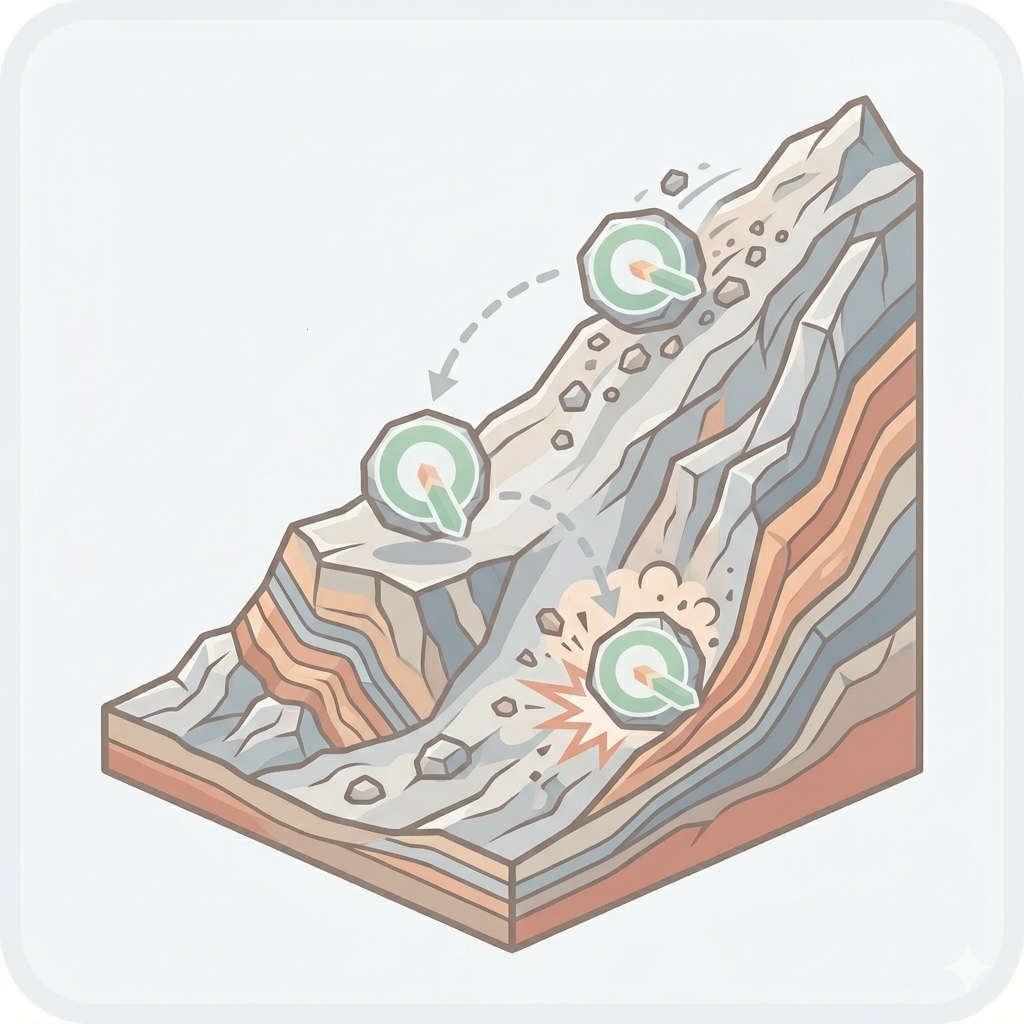
The Geohazard plugin incorporates several specialized algorithms to evaluate the reliability of InSAR data in monitoring slow landslide phenomena (Groundmotion – C index), to assess slope susceptibility to shallow landslides (Landslide – Shalstab), and to perform a preliminary assessment of rockfall spatial hazard (Rockfall – Droka).
| Author | Campus S., Castelli M., Fasciano C., Filipello A. |
|---|---|
| Downloads | 438 |
| Latest version | 0.1.2 (experimental) |
| Last updated | 2026-07-07 (101 days ago) |
| Min QGIS | 3.0.0 |
| Max QGIS | 3.99.0 |
| QGIS 4 ready | No |
| Maintenance | Active |
| Categories | Hydrology & water, Raster & terrain |
| Tags | hazard, rockfall, visibility, geology, cone method, egms, arpa, susceptibility, landslide, c index, critical rainfall, qproto, shalstab |
Homepage · Repository · Issue tracker · Official page
Alternatives in Hydrology & water
- CrayfishQGIS 4 ready
Tools for mesh layers QGIS
- ArcGeek CalculatorQGIS 4 ready
ArcGeek Calculator is a QGIS plugin that provides a comprehensive set of tools for coordinate calculations, conversions, spatial operations,
- TUFLOWQGIS 4 ready
A collection of utilities for TUFLOW flood and coastal simulation in QGIS



Related plugins
- QProtoQGIS 4 ready
Rockfall analysis plugin based on the Cone Method
- QRADEQGIS 4 ready
Rockfall risk assessment plugin based on the IMIRILAND method
- InSAR SuiteQGIS 4 ready
Integrated suite for loading, processing and analysis of PSI displacement data
- Landslide & Erosion (PETA ALAM)Not QGIS 4 ready
Analisis otomatis tanah longsor dan likuifaksi, disertai analisis erosi menggunakan metode USLE dan SMCE, serta penilaian dampak kepadatan p
- Hydrological Analysis Stream NetworkQGIS 4 ready
Algorithm for hydrological analysis that generates the drainage network from a digital terrain model (DTM)
- ArchToolkitQGIS 4 ready
Integrated archaeology toolkit for QGIS covering terrain, visibility, cost, networks, AHP suitability, trench planning, geology, and AOI rep




Maintenance: Active = updated within 1 year, Quiet = 1–3 years, Likely abandoned = over 3 years.