Home › Categories › Vector tools › Page 7
Vector tools QGIS plugins Page 7 of 14
QGIS plugins to edit geometries, attributes and vector layers. 798 plugins, 290 QGIS 4 ready, 463 actively maintained. Sorted by downloads. Showing 361–420.
Related categories: Georeferencing & CAD · Raster & terrain · Spatial analysis · Web maps & export · Cartography & layout · All categories
- Encoded PolylineQGIS 4 ready
Encoded Polyline is a plugin to easily show encoded polyline into QGIS.
- CIGeoE Attribute CopyNot QGIS 4 ready
Copy the attributes of one feature to another one (different layers, both with point geometries)
- Overlap ClipperNot QGIS 4 ready
This module provides tools for clipping and cleaning overlapping polygons features.
- Geometry ComparatorNot QGIS 4 ready
Detects changes between two vector layers (Polygon, Line or Point) by comparing features based on a Unique ID field and their geometries, id
- CIGeoE Holes 3DNot QGIS 4 ready
Draws holes in polygons (3D)
- Frequency OverlapsNot QGIS 4 ready
Check for overlapping frequencies
- FilePathNot QGIS 4 ready
Copy the source file path of the selected QGIS layer and open its containing folder.
- CIGeoE Node ToolNot QGIS 4 ready
Tool to perform operations over nodes of a selected feature, not provided by similar tools and plugins.
- Advanced Selection TableQGIS 4 ready
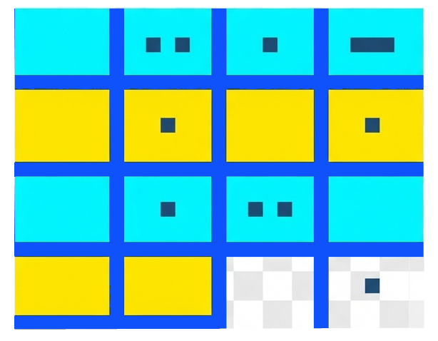
Professional attribute table with two-tier selection (Cyan = Selected, Yellow = Highlighted) for advanced feature filtering and editing
- eTraceability Automatic Accountability TrackerNot QGIS 4 ready
This plugin adds automatic attributes to vector layers, that track who updated or created features, and when.
- VectorSelectorNot QGIS 4 ready
Select a one or multiple fields in a vector file filter columns and create a widget.
- RoutesComposerNot QGIS 4 ready
Composer of roads from network of segments. This plugin assists you in creating routes from a network of segments, automatically updating th
- TerraLinkNot QGIS 4 ready
Spatial ecology tool for wildlife corridor generation and habitat connectivity analysis using raster and vector workflows. Strategically con
- CoolParksToolNot QGIS 4 ready
This plugin evaluates the cooling effect of a park and its impact on buildings energy and thermal comfort
- QGIS Track ChangesNot QGIS 4 ready
A plugin to track every change of vector data
- Hankaku ConverterQGIS 4 ready
This plug-in converts string attribute values between full-width (Zenkaku) and half-width (Hankaku) characters.
- QuickStyleNot QGIS 4 ready
A plugin for quick styling and management of vector layers in QGIS
- CIGeoE PacmanNot QGIS 4 ready
Resolve the intersection of 2 polygons by removing the overlapped area in the second polygon.
- timezone_expressionsNot QGIS 4 ready
Expression functions to handle timezones in QGIS. set_timezone, to_timezone, to_localtime
- Esporta Tab su file CSVQGIS 4 ready
Export the attribute table of a vector layer to a CSV file with configurable delimiters, decimal separator, encoding, optional WKT geometry
- Lines around PointsNot QGIS 4 ready
This plugin creates lines around to a point layer to a given a certain distance and a number of segments
- ValueMap to LizmapNot QGIS 4 ready
This plugin creates a table layer with all the ValueMap items of the project to be used as input for a js script which shows description ins
- Stats By PolygonNot QGIS 4 ready
This plugin creates plots for statistics of raster bands based on selected polygon feature.
- S2 ToolkitNot QGIS 4 ready
Tools for the S2 Geometry.
- feature_spaceNot QGIS 4 ready
A plugin to plot feature space and export areas as raster or vector
- CIGeoE Reshape Features 3DNot QGIS 4 ready
reshape a feature in 3D
- Polygon LabelerNot QGIS 4 ready
Automatically generate and label polygons with custom names, and add the labels as a new attribute field to the attribute table.
- Instant WebGIS ViewerQGIS 4 ready
Export QGIS vector and raster layers to a fully interactive shareable HTML WebGIS map in one click. No server, no Apache, no configuration n
- Yarding DistanceQGIS 4 ready
This plugin calculates the "Yarding Distance" (average distance from polygons to yarding points) using either Euclidean or Manhattan distanc
- Table to Point LayerNot QGIS 4 ready
Convert Excel/CSV files to point layers with coordinate mapping
- Feature NavigatorNot QGIS 4 ready
This plugin allows navigation between features in an active QGIS layer using previous and next buttons.
- Sampling TimeNot QGIS 4 ready
Performs multiple sampling methods on shapefile layers
- Dimensions SelectorNot QGIS 4 ready
Dimensions Selector Plugin
- Geom From AttributeNot QGIS 4 ready
This plugin allows users to create geometry using attributes from table.
- Text2MapQGIS 4 ready
Convert pasted text (lat/lon, JSON, GeoJSON, WKT) into temporary geometry layers. Works with both QGIS 3 and QGIS 4.
- Conversor Nomes ComunsNot QGIS 4 ready
This plugin converts common names of tree species to their respective scientific names.
- CIGeoE Identify DanglesNot QGIS 4 ready
Identifies dangles in a viewport
- SecQueryNot QGIS 4 ready
Render geodesic buffers with 4-32 sectors and query the point data in them.
- Floor plan filterNot QGIS 4 ready
Navigate multi-floor building plans using attribute filters and layer group visibility. Replaces per-floor PDF/CAD plan workflows.
- FuzzyAttributesQGIS 4 ready
FR: FuzzyAttributes V2 étend le plugin original en intégrant trois nouveaux modules pour les données raster et catégorielles. Il permet de c
- ISToolsNot QGIS 4 ready
Ferramentas integradas para edição vetorial, topologia, PostGIS e fluxos EDGV no QGIS.
- Select Features by BoundaryNot QGIS 4 ready
A QGIS plugin that allows users to select all features within a clicked boundary polygon from another visible vector layer with a single cli
- Lines to PolygonNot QGIS 4 ready
Convert group of lines to polygon
- Fast Field FillerNot QGIS 4 ready
The plugin was created to quickly fill in the fields in the attribute table.
- Attributes of Irish and British PlantsNot QGIS 4 ready
Attributes of British and Irish Plants. A lookup table that gives information on Light, Moisture, Reaction, Nutrients, and Salinity for a sp
- Attribute Transfer to SchemaNot QGIS 4 ready
Attribute Transfer to Schema plugin that enables seamless transfer of attribute data from a source vector layer to a template layer with a p
- Calculate Similarity MapNot QGIS 4 ready
Calculate score of similarity using GOF MapCurve (Vector & Raster)
- CIGeoE Mirror ViewNot QGIS 4 ready
Add one or more panels synchronized with the main panel.
- Project Full Text SearchNot QGIS 4 ready
This plugin generates a full text search index containing all attributes of all layers of a loaded project. The user then can use a single t
- CIGeoE Converge LinesNot QGIS 4 ready
Creates a point of convergence of lines within a selected area.
- CIGeoE Circumvent PolygonNot QGIS 4 ready
Changes the line to circumvent a polygon between the intersection points
- Dynamic FlowNot QGIS 4 ready
Dynamic Flow is a qgis plugin to estimate the spatio-temporal 3D gradient flow from the point observation of the attributes values such as a
- CIGeoE Rename Attachment AttributeNot QGIS 4 ready
Rename attachment attribute of selected field on all features
- Fast Point InspectionNot QGIS 4 ready
Fast Point Inspection is a QGIS plugin that streamlines the process of classifying point geometries in a layer.
- LayerDiffViewerQGIS 4 ready
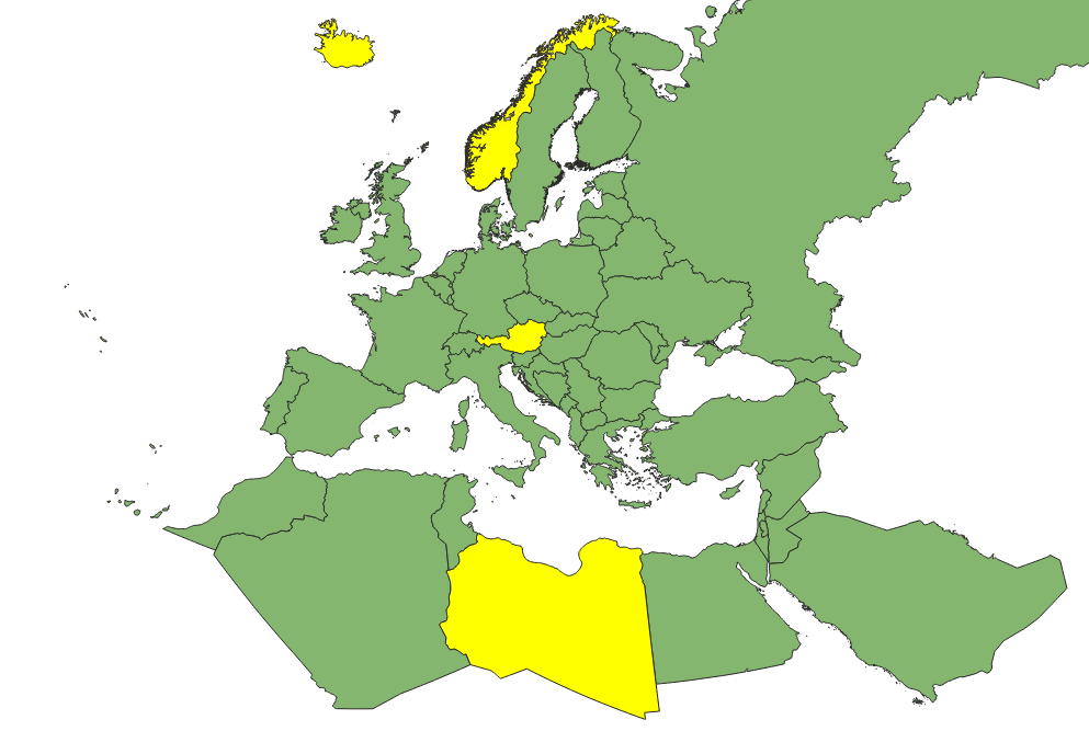
Visualize differences between geometries.
- Polygon CompareNot QGIS 4 ready
Compares two polygon layers to find added, deleted and modified polygons by unique ID and geometry
- Layer Attribute ManagerNot QGIS 4 ready
A plugin to manage and edit attribute tables for all vector layers in one interface
- GDINot QGIS 4 ready
QGIS plugin for discovering and accessing datasets from the GDI platform using Data Explorer, Authorization Server, and OGC Resource Server
- QGIS LedgerQGIS 4 ready
IT: Controllo di versione stile Git per progetti QGIS: diff geometrici, rollback e sincronizzazione multi-cloud. / EN: Git-like version cont
- CIGeoE Toggle Vertex VisibilityNot QGIS 4 ready
Toggle vertex's marker visibility