
Home › Vector tools › Polygon Labeler
Polygon Labeler QGIS 4 compatibility
Not QGIS 4 ready Quiet
Not yet — the latest version declares max QGIS version 3.99.0, so it is not offered to QGIS 4 users.
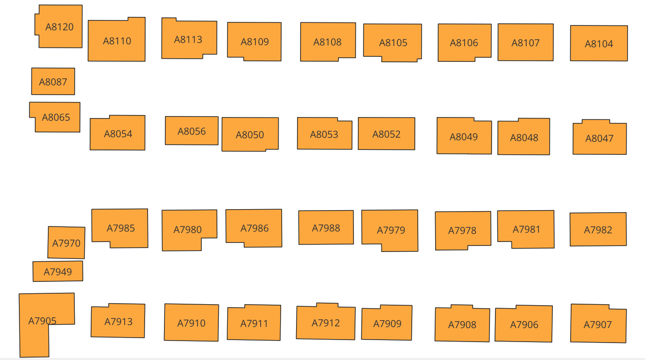
Automatically generate and label polygons with custom names, and add the labels as a new attribute field to the attribute table.
About
Polygon Labeler is a QGIS plugin designed to make labeling polygons effortless and efficient. This tool allows you to automatically generate custom labels for polygons and store them as a new field in the attribute table. Key features include: Automated labeling based on unique identifiers or custom logic. Creation of a new attribute field to store labels for easy data management. Dynamic application of labels directly on the map for enhanced visualization. Whether you're working on zoning maps, vulnerability analyses, or any polygon-based GIS project, Polygon Labeler streamlines your workflow, saving you time and effort.
| Author | Peter Boateng |
|---|---|
| Downloads | 2,554 |
| Latest version | 1.0 |
| Last updated | 2025-01-07 (647 days ago) |
| Min QGIS | 3.0.0 |
| Max QGIS | 3.99.0 |
| QGIS 4 ready | No |
| Maintenance | Quiet |
| Category | Vector tools |
| Tags | python |
Homepage · Repository · Issue tracker · Official page
Alternatives in Vector tools
- HCMGISQGIS 4 ready
HCMGIS - Basemaps, Download OpenData, Batch Converter, VN-2000 Projections, and Field Calculation Utilities
- mmqgisQGIS 4 ready
A collection of QGIS vector layer operation plugins
- Shape ToolsQGIS 4 ready
Shape Tools is a collection of geodesic shapes and tools. Create circle, ellipse, line of bearing, points along a line of bearing, concentri


Maintenance: Active = updated within 1 year, Quiet = 1–3 years, Likely abandoned = over 3 years.