Home › Categories › Vector tools › Page 13
Vector tools QGIS plugins Page 13 of 14
QGIS plugins to edit geometries, attributes and vector layers. 798 plugins, 290 QGIS 4 ready, 463 actively maintained. Sorted by downloads. Showing 721–780.
Related categories: Georeferencing & CAD · Raster & terrain · Spatial analysis · Web maps & export · Cartography & layout · All categories
- GISPublisherQGIS 4 ready
Generate and deploy interactive GIS web applications directly from QGIS layers.
- Layer or Table Comparison ToolNot QGIS 4 ready
Compares vector layers and tables to find differences between selected fields
- QRouteCodeQGIS 4 ready
Converts vector lines and polylines into scannable Google Maps routing QR codes for mobile navigation.
- BlocklopNot QGIS 4 ready
Cut vector layer
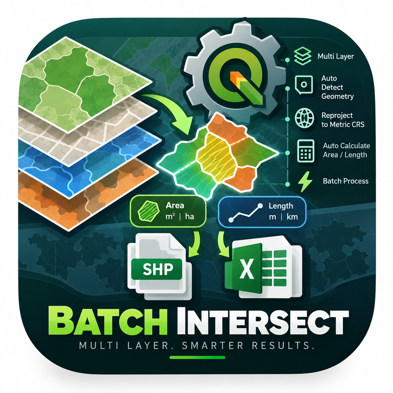
- Mega Batch Intersect & Calculator GlobalNot QGIS 4 ready
An enterprise-level PyQGIS algorithm engineered to automate spatial intersection across multiple layers simultaneously. It intelligently det
- LarvaLinkNot QGIS 4 ready
Visualize spatial connectivity matrices
- CAD Text ExtractorNot QGIS 4 ready
CAD Text Extractor exports selected attribute fields as CAD text and source geometries into a CAD-compatible DXF output.
- Raster Area CalculatorNot QGIS 4 ready
Calculate raster class areas and write them into the Raster Attribute Table, with pixel size shown in the dialog and a context-menu icon.
- ARENARIA — GML Export for ARiMR (eWniosekPlus)Not QGIS 4 ready
Export layer geometries (polygons, lines, points) to a GML file in the reference-geometry import format of eWniosekPlus (ARiMR, Poland), cam
- koji DataQueryNot QGIS 4 ready
CSV and GeoPackage preprocessing tools for QGIS. Aiming to be a Power Query-like workflow for QGIS.
- EDEA_EraseToolsNot QGIS 4 ready
Removes the part of a vector layer (points, lines or polygons) located inside a clip layer, with asynchronous processing, batch mode, and mu
- Drop Path CreatorNot QGIS 4 ready
Create drop path lines between Nodes and points.
- MSA: CurveMasterNot QGIS 4 ready
CAD tool for interactive curve adjustment, fillet rounding, Trim/Extend, dynamic offset, Polar Tracking, and CAD Smart Pour/Erase pavement f
- MSA: ShadowCasterNot QGIS 4 ready
2.5D building shadow vector analysis with accurate height and roof relationships
- Multiplicate layer by attributeNot QGIS 4 ready
Multiplicate layer by attribute
- Geological 3D Cross SectionNot QGIS 4 ready
Place a 2D geological cross-section into 3D space between two real-world points (A and B) / Posiziona una sezione geologica 2D nello spazio
- SATHIQGIS 4 ready
SATHI: Spatial Aggregation, Temporal Harmonization & Interpolation for geometry-aware climate-grid extraction, spatial statistics, interpola
- Kiểm tra CSDL GISQGIS 4 ready
Kiểm tra hồ sơ GIS quy hoạch đô thị và nông thôn theo Thông tư 16/2025/TT-BXD (Phụ lục II): cấu trúc hồ sơ, nhóm dữ liệu chuyên đề, lớp dữ l
- FractalPolygonNot QGIS 4 ready
Tranform simple polygons into fractal polygons
- Region Export (Admin Polygon)QGIS 4 ready
Select an administrative polygon (name/gb) and export intersecting parcels.
- GeoCAR SuiteNot QGIS 4 ready
QGIS plugin for managing and analyzing Rural Environmental Registry (CAR) data, with spatial overlap analysis, environmental diagnostics and
- Sumo Dead Count FTTHNot QGIS 4 ready
Calculate and analyze feature Range from selected layers and attribute fields in QGIS.
- Point Shift TrackerQGIS 4 ready
Track how far a point feature has been moved during editing, with live distance analysis and an in-panel warning when a shift exceeds your c
- Info LayersNot QGIS 4 ready
Query configured vector and vector tile layers even when they are not visible in the current map view.
- GeoStar SelectorNot QGIS 4 ready
Advanced magic wand selection tool for raster layers with PS-like functionality, multi-feature support, keyboard shortcuts, and export capab
- Raster Batch ClipQGIS 4 ready
Batch clip one raster by multiple polygon or grid features with automatic attribute-based output naming.
- CSV ImporterQGIS 4 ready
Drag and drop CSV files and save them as point GeoPackage or Shapefile layers.
- MJ-AutoAttributesNot QGIS 4 ready
Automatically fill raster name and fixed attributes during feature digitization
- Group Layer FilterNot QGIS 4 ready
Apply one filter expression to every vector layer inside a layer tree group, via a right-click context menu on the group.
- GeoFlow GuideQGIS 4 ready
Layer-aware QGIS guidance for exploring data, managing selections, CRS-aware buffers, geometry processing and raster display.
- Definition Queries (Layer Filters)QGIS 4 ready
Filter your layers without writing SQL: build filters with drop-downs, save several named filters per layer and switch between them in one c
- Smart Layer FilterNot QGIS 4 ready
Interactively filter QGIS vector layers with context-aware, interdependent attribute filters and dynamic map visualization.
- Conflate RoadsNot QGIS 4 ready
Matches corresponding road features using weighted geometric and topological similarity measures, then transfers selected source attributes
- EDEA_LayerFieldToolsNot QGIS 4 ready
Inspect a vector layer's fields, add new fields, and manage label display and color, in a single lightweight dialog.
- Editor de Atributos de Arco VialNot QGIS 4 ready
Edit, validate and normalize road arc nomenclature attributes following the Colombian road naming standard (IGAC/DANE).
- Palm Gap DetectorQGIS 4 ready
Detect probable missing oil palm positions from georeferenced palm points by analyzing real planting rows and spacing gaps.
- ShoreliserNot QGIS 4 ready
Shoreline change analysis pipeline: clip, Hovmöller diagram, DSAS statistics, and an interactive space-time cube — driven from a 4-tab side
- FiberHome FTK QGIS GeoCopyNot QGIS 4 ready
Copy geometry between selected features by choosing source and target layers from a dialog.
- Label SwitcherNot QGIS 4 ready
Quickly assign 1/0 to selected polygon features and navigate with shortcuts.
- Find ValueQGIS 4 ready
Find and zoom to selected feature by value
- Copy Vector as GeoJSONQGIS 4 ready
Copy vector layers, selected features and bounding boxes to the clipboard as GeoJSON.
- Overlap AnalyzerQGIS 4 ready
Analyzes the spatial overlap between selected layers and a reference layer, optionally including a buffer zone. Lists intersecting features
- Cell Grid CreatorQGIS 4 ready
Creates standardized geographic grids for a selected AOI in QGIS, with automatic alignment, cell extraction, and cell ID generation across r
- Join AddressIn PolygonQGIS 4 ready
Joins address point values to polygons and automatically creates Addresses, Unique Name, and Total Name output fields.
- YAAP(Yet Another Animation Plugin)QGIS 4 ready
Turn QGIS into a video editing software
- Quick InspectorQGIS 4 ready
Universal geometry inspector for quickly analyzing points, lines, and polygons, including coordinates, lengths, areas, and other key geometr
- Excel to Feature (Coordinate Transformation)Not QGIS 4 ready
Create point, polyline, and polygon layers from tabular coordinates with optional CRS transformation.
- Attribute Rules ManagerNot QGIS 4 ready
ArcGIS-style Attribute Rules (calculation, constraint, validation) for GeoPackage, SpatiaLite and File Geodatabase layers.
- DrawSeqQGIS 4 ready
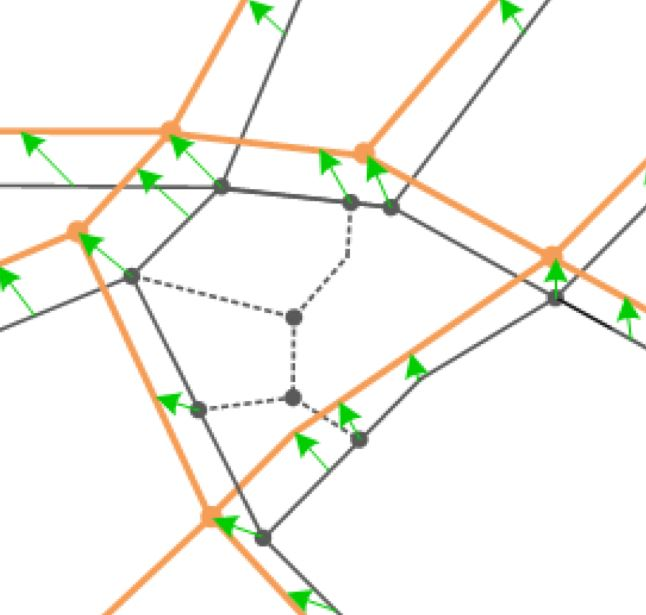
Draw paths on the map canvas to assign sequence numbers to vector features. Features are numbered perfectly by "First Touch" intersection.
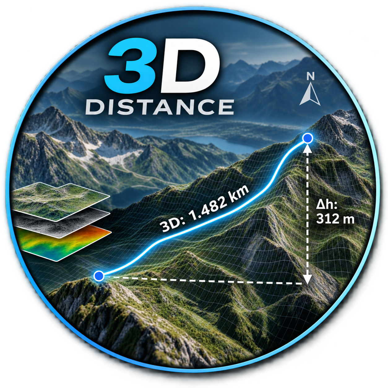
- Distance_3DNot QGIS 4 ready
DE: Beschrifte einen Layer mit der 3D-Länge und dem Azimut. EN: Label a layer with the 3D length and azimuth.
- PandvinderNot QGIS 4 ready
Zoek een BAG-pand op identificatienummer en spring er op de kaart naartoe. Find a BAG pand by identificatienummer and jump to it on the map.
- Spatial Format ConverterNot QGIS 4 ready
Convert polygon data among SHP, KML, KMZ, and supported CAD sources with CRS and attribute controls.
- Uncheck Empty LayersNot QGIS 4 ready
Right-click a layer group and uncheck every layer inside it that has no data.
- GNSSeismicQGIS 4 ready
Plugin bilingüe (ES/EN) para topografía RTK/GNSS y sísmica: proyectos con base de datos PREPLOT/POSTPLOT, importación de .dc aplicando un mo
- SEEA-QNot QGIS 4 ready
Generates SEEA Ecosystem Accounting extent, physical/monetary flow, and asset accounts from two or more time-series ecosystem type layers -
- Overlap ReportNot QGIS 4 ready
Overlap Report helps identify self-overlaps and intersections between polygon layers quickly and accurately, improving spatial-data validati
- Address UNIT CheckedQGIS 4 ready
Analyze Unit Point and Point layers with an optional polygon filter and selectable fields.
- Cadence ConnectorQGIS 4 ready
This plugin connects QGIS to Cadence allowing users to upload files and styling to projects and maps in Cadence.
- Field Remarks TableNot QGIS 4 ready
Complementary attribute table with field-remark packs, batch editing, quick naming from symbology, and KMZ export
- Building Road Overlap ValidatorNot QGIS 4 ready
Automated detection and correction of road-building polygon overlaps: trimming, shifting, and purging.