
Home › Vector tools › Mega Batch Intersect & Calculator Global
Mega Batch Intersect & Calculator Global QGIS 4 compatibility
Not QGIS 4 ready Active
Not yet — the latest version declares max QGIS version 3.99.0, so it is not offered to QGIS 4 users.
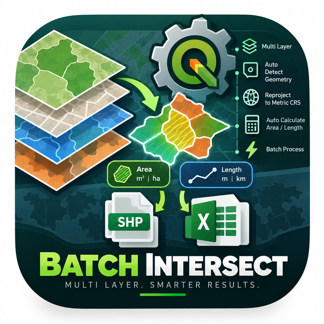
An enterprise-level PyQGIS algorithm engineered to automate spatial intersection across multiple layers simultaneously. It intelligently detects geometry types, reprojects to metric CRS, auto-calculates Area (M2 & HA) or Length (M & KM), and instantly exports the results into both Shapefiles and Excel spreadsheets.
About
Automates batch intersection, reprojection, geometry calculation, and multi-format exports.
| Author | Rizal Brilliant Nugraha |
|---|---|
| Downloads | 283 |
| Latest version | 1.0.0 |
| Last updated | 2026-07-09 (99 days ago) |
| Min QGIS | 3.0.0 |
| Max QGIS | 3.99.0 |
| QGIS 4 ready | No |
| Maintenance | Active |
| Categories | Vector tools, Utilities, Web maps & export |
| Tags | calculator, vector, export, automation, geometry, batch, excel, intersect |
Homepage · Repository · Issue tracker · Official page
Alternatives in Vector tools
- HCMGISQGIS 4 ready
HCMGIS - Basemaps, Download OpenData, Batch Converter, VN-2000 Projections, and Field Calculation Utilities
- mmqgisQGIS 4 ready
A collection of QGIS vector layer operation plugins
- Shape ToolsQGIS 4 ready
Shape Tools is a collection of geodesic shapes and tools. Create circle, ellipse, line of bearing, points along a line of bearing, concentri


Related plugins
- Excel Auto ExporterNot QGIS 4 ready
Automatically export QGIS vector layers to Excel (.xlsx) files on data changes
- Mega Batch POI ScraperNot QGIS 4 ready
An enterprise-level PyQGIS plugin engineered to automate Point of Interest (POI) data extraction across multiple sources simultaneously. Bui
- Export ExcelNot QGIS 4 ready
Export selected features from the active layer to an Excel (XLSX) file with custom field selection, ordering, and reusable presets.
- GeoPackage ConverterQGIS 4 ready
Batch convert vector and raster files (SHP, TAB, KML, GML, GeoJSON, DXF, GPX, MIF, ZIP, RAR, TIF, ASC, IMG…) and remote layers (WFS, WCS, Ar
- Garmin ExportQGIS 4 ready
Professional Garmin IMG export for QGIS 3.22+ with Qt5/Qt6 dual support, modern localized UI, 12 languages and reliable mkgmap workflows
- Universal Vector ConverterNot QGIS 4 ready
Batch converts vector layers and directories into GeoJSON, KML, GPKG, FlatGeobuf, SHP, and DXF with CRS reprojection support.




Maintenance: Active = updated within 1 year, Quiet = 1–3 years, Likely abandoned = over 3 years.