Home › Categories › Vector tools › Page 2
Vector tools QGIS plugins Page 2 of 14
QGIS plugins to edit geometries, attributes and vector layers. 798 plugins, 290 QGIS 4 ready, 463 actively maintained. Sorted by downloads. Showing 61–120.
Related categories: Georeferencing & CAD · Raster & terrain · Spatial analysis · Web maps & export · Cartography & layout · All categories
- Split Features On SteroidsNot QGIS 4 ready
Split features showing areas on each side allowing the edition of the cutting line vertices
- Join linesNot QGIS 4 ready
Permanently join two lines
- OpeNoise MapNot QGIS 4 ready
opeNoise Map allows to compute the noise level generated by point source or by road source at fixed receiver points and buildings.
- Flow TraceNot QGIS 4 ready
Select line segments upstream of a selected line segment
- Plain Geometry EditorNot QGIS 4 ready
Edit geometry of features using plain text (WKT, WKB)
- UMEP for processingQGIS 4 ready
Urban Multi-scale Environmental Predictor (UMEP) for the QGIS processing framework
- Geometry PasterQGIS 4 ready
Takes geometry from a feature and pastes it a target feature
- Cartographic Line GeneralizationNot QGIS 4 ready
Generalize lines suitable for presentation on printed or screen maps.
- Concave HullNot QGIS 4 ready
Computes a concave hull containing a set of features
- CityJSON LoaderQGIS 4 ready
Load and visualize CityJSON 3D city models in QGIS with semantic surfaces, LoD support, and attribute management
- 3D ArcsNot QGIS 4 ready
Tool to convert 2D lines to 3D Arcs
- Batch Vector Layer SaverNot QGIS 4 ready
Saves multiple layers in different formats in a batch mode.
- ClusterPointsNot QGIS 4 ready
Cluster Points conducts clustering of points based on their mutual distance to each other or based on supplemental information from attribut
- bulkvectorexportNot QGIS 4 ready
export vector layers to common format and crs
- Easy Raster SplitterNot QGIS 4 ready
This plugin allows you to split raster files, based on given polygon data.
- Standard Deviational EllipseNot QGIS 4 ready
Create a standard deviational ellipse for a set of points
- VectorMCDANot QGIS 4 ready
Performs geographic multi-criteria decision making. Plugin is now deprecated, the MCDA functions are all implemented and extended in SSAM pl
- geoUmbriaSUITNot QGIS 4 ready
geoUmbriaSUIT is deprecated. All you need for Spatial Sustainability Assessment is in SSAM plugin (https://plugins.qgis.org/plugins/SSAM/)
- Multilayer SelectNot QGIS 4 ready
Multilayer selection tools
- Magic WandQGIS 4 ready
Auto-making Polygon by MapCanvas
- Quick AttributionNot QGIS 4 ready
Define the attributes for a layer first and then digitize a number of geometries with all the same attributes.
- GisToolsNot QGIS 4 ready
Gis simple tools
- Sort and NumberNot QGIS 4 ready
This plugin sorts and numbers an attribute table.
- Gimp Selection FeatureNot QGIS 4 ready
Plugin for adding selected area in GIMP how a feature in polygon layer.
- CalcArea2Not QGIS 4 ready
Show layer area and length when editing.
- ZoomViewQGIS 4 ready
Adds a dock panel showing a magnification of the map canvas around a selected point. Map tools are still usable in the central map canvas an
- BecaGISQGIS 4 ready
BecaGIS GeoProcessing, Field Calculation Tools and Expressions
- AnaximandreQGIS 4 ready
A plugin for auto drawing 3D Shapefiles from topographical survey.
- Line ProfileNot QGIS 4 ready
Create line profiles from attribute table in vector layer and color band of raster layer
- RasterAttributeTableNot QGIS 4 ready
Display and manage Raster Attribute Tables.
- Connect PointsNot QGIS 4 ready
Connects the dots between the two layers using a link field.
- ExtractorNot QGIS 4 ready
Extractor allows for the extraction of data from raster images based on point, line, and polygon vectors and the application of zonal statis
- BoundingBoxNot QGIS 4 ready
This plugin returns the xmin, ymin, xmax, ymax of the current view window, and the GetMap request of the selected WMS.
- QRectangleCreatorNot QGIS 4 ready
QRectangleCreator allows you to create a polygon (rectangle) with the specified width, length on the rotation.
- ThToolBoxNot QGIS 4 ready
TLUBN Algorithms (formerly TlugProcessing)
- Go2NextFeature3QGIS 4 ready
Jump through the features of a vector layer, in the order of an attribute, panning or zooming the map to each one
- BD TOPO® ExtractorQGIS 4 ready
This tool allows you to extract specific data from IGN's BD TOPO®. The extraction is based on either an extent drawned by the user on the ma
- Land Survey Codes ImportNot QGIS 4 ready
This plugin allows you to easily import data from a land survey (GPS or total station) to draw automatically in a database using a codificat
- Distribution Map GeneratorNot QGIS 4 ready
A QGIS plugin to batch create distribution maps from point data.
- Place MarkerQGIS 4 ready
Place Marker provides a convenient way of adding placemarks to a vector layer.
- 申少军的工具箱QGIS 4 ready
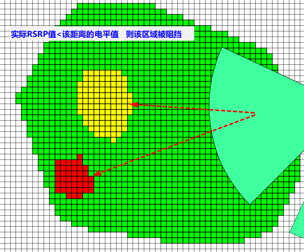
支持从CSV/Excel批量创建点、线、面、扇区、热力图及专题地图;提供在线地图搜索、坐标拾取、AOI提取与路线规划等GIS交互工具;集成缓冲区分析、面积/长度计算、相交分析、最短距离计算、几何修正与WKT边界简化等空间处理算法;支持图层属性批量编辑、样式管理、邻区规划与显示、浮
- MOJXML LoaderQGIS 4 ready
This plugin is made for Japanese users. It converts Japanese "MOJ Map XML" (land registration polygon data) into geospatial formats. 法務省登記所備
- Station LinesNot QGIS 4 ready
Create lines along polylines with some parameters (length, side, angle). It assumes a cartesian coordinate system
- QgericNot QGIS 4 ready
Graphical queries by drawing simple shapes
- QCopycanvasQGIS 4 ready
This tool can be used to copy the map canvas and place it in the clipboard.
- DWA_M150_XML_ImportQGIS 4 ready
Import Lines and Points (Manholes and sewers) from DWA M150 XML and now ISYBAU XML >2006
- AttributeAssignmentQGIS 4 ready
Easy to assign an attribute on QGIS
- NetworkGTNot QGIS 4 ready
NetworkGT (Network Geometry and Topology) Toolbox is a set of tools designed for the geometric and topological analysis of fracture networks
- ReconstructLineNot QGIS 4 ready
Reconstruct linear features from unordered points
- RioGIS 2Not QGIS 4 ready
RioGIS offline
- New Memory LayerQGIS 4 ready
Create an empty memory layer
- QdrawEVTQGIS 4 ready
Easily draw and select entities within the drawing footprint
- Vector field layer managerNot QGIS 4 ready
Draw a point layer with arrow symbols
- Geo Simplification (processing)Not QGIS 4 ready
This plugin contains different tools for line/polygon simplification and generalization
- Move FeaturesNot QGIS 4 ready
This plugin moves the features from one location to another based on several methods.
- ClusterMapNot QGIS 4 ready
Receives polygon shapefile as input and applies clustering methods for the generation of choropleth maps
- ProcessXNot QGIS 4 ready
This Plug-In adds a new processing provider to QGIS. It contains a great variety of different processing algorithms.
- Buffer Without OverlapsNot QGIS 4 ready
This plugin creates a buffer around features of given type, without overlaps.
- StereonetNot QGIS 4 ready
Displays a geologic stereonet of selected data
- Table to StyleNot QGIS 4 ready
Reads an attribute table (usually in dbf or text format) with pixel value information and attributes and creates a new style for raster disp