Home › Categories › Vector tools › Page 12
Vector tools QGIS plugins Page 12 of 14
QGIS plugins to edit geometries, attributes and vector layers. 798 plugins, 290 QGIS 4 ready, 463 actively maintained. Sorted by downloads. Showing 661–720.
Related categories: Georeferencing & CAD · Raster & terrain · Spatial analysis · Web maps & export · Cartography & layout · All categories
- maskqNot QGIS 4 ready
Mask or clip rasters by value range, raster mask, or polygon boundary. Interactive histogram with draggable handles. Live canvas preview.
- InaRISK to QGISNot QGIS 4 ready
Download InaRISK disaster data and convert rasters to vector layers in QGIS.
- MJZoomToSelectNot QGIS 4 ready
Zoom to features by searching attribute values
- Vector ReclassifyNot QGIS 4 ready
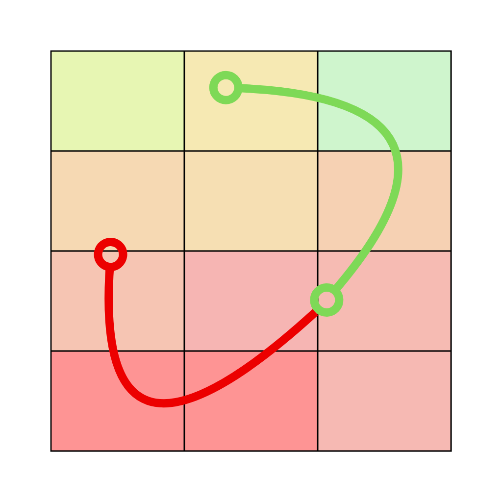
Reclassify vector attribute values into a new field and save as a new layer.
- GeoArea LabelsQGIS 4 ready
Labels de área em polígonos QGIS com UTM global, SRC projetado e unidades métricas, internacionais e agrárias. Automatic area labels for QGI
- Ordered files copyNot QGIS 4 ready
Средство копирования файлов по ссылкам в атрибутах слоя | Tool for copying files by links in layer attributes
- Acotación de parcela GISNot QGIS 4 ready
Automatically creates persistent parcel dimensions, recognizes approximated circular arcs, and produces numbered vertices, coordinate tables
- Granulometria por FotointerpretacionNot QGIS 4 ready
Measures rock grain sizes in a photo by photointerpretation and exports gradation reports.
- QueryToolbarQGIS 4 ready
Replicates the Manifold System Release 8.0 query toolbar with full enhancements (numeric spin boxes, date picker, NULL handling, unique valu
- Koji GeoToolsNot QGIS 4 ready
A QGIS toolbar launcher for layer-set creation, study-area setup, and feature extraction inside selected polygons.
- SearchAttributeQGIS 4 ready
Search attributes in active vector layer, zoom and highlight matching features.
- GeoSortQGIS 4 ready
Sort vector layer features by geometric and attribute criteria | Ordina le feature di un layer vettoriale per criteri geometrici e attributi
- Layout SplinesQGIS 4 ready
Adds editable spline polyline and spline polygon node items to QGIS Layout Designer.
- Spatial Relationship MapperNot QGIS 4 ready
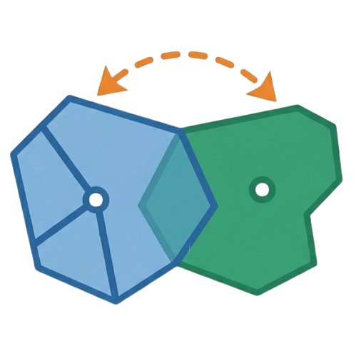
Creates spatial relationships between two polygon layers and links their attributes
- Mega Batch POI ScraperNot QGIS 4 ready
An enterprise-level PyQGIS plugin engineered to automate Point of Interest (POI) data extraction across multiple sources simultaneously. Bui
- Clip2PlaceQGIS 4 ready
Clip vector layers to an extent centered on a place anywhere in the world - a rectangle or circle around a point settlement (city, town, vil
- InSAR Time Series ViewerNot QGIS 4 ready
Explore, compare, average, and export InSAR point time series stored in DYYYYMMDD attribute fields.
- HELIX Labelling FrameworkQGIS 4 ready
Prepare robust vector and raster label workflows on a common reference grid, from class schemes and temporal alignment to context features,
- Numerar RutaNot QGIS 4 ready
Sequentially numbers points along a route line based on spatial order.
- Axonometric Map TransformerNot QGIS 4 ready
Instantly capture active QGIS map canvas, selected layers, or print layouts and transform into true Isometric / Dimetric / Oblique Axonometr
- hoverGeoPhotoQGIS 4 ready
Show photo when hovering a point feature with a valid image link
Spatial point sampling over a polygon area with 7 methods: Systematic Hilbert (SH), Hilbert Groups (GH), Row-Column Groups (GFC), Simple Ran
- Spatial Attribute AppenderQGIS 4 ready
Transfer attributes from a source layer to a target layer by spatial relationship (intersect/touch or nearest feature), with automatic field
- LINZ Schema LoaderQGIS 4 ready
QGIS Plugin/App to load New Zealand LINZ Data Service *.csv export data files directly into a MariaDB/MySQL database and create GIS map laye
- generic_feature_partitionerNot QGIS 4 ready
Split polygons using partition lines via topology/polygonize approach
- Editor Bidang dan AtributNot QGIS 4 ready
A complete cadastral digitizing toolkit for QGIS — geometry, attribute, cadastral, and topology tools in one bundle.
- Attribute Form ToggleQGIS 4 ready
Temporarily suppress the attribute form after feature creation without overriding the global QGIS setting.
- Compartment CompassQGIS 4 ready
Filter, search, and edit vector layer attributes in a spreadsheet-style table that stays in sync with the map — find the feature first, then
- GeoSTAT AINot QGIS 4 ready
Automatic quality analysis of vector layers: invalid geometries, duplicates, small/thin polygons, self-intersections, empty attributes... wi
- QReplaceQGIS 4 ready
Find and replace values in vector layer attribute fields, spreadsheet-style (Excel/OpenOffice). Triggered with Ctrl+F from the attribute tab
- Self-intersection by JDKNot QGIS 4 ready
Repairs self-intersections, converts multipart to singlepart, computes area (Surface_Ha) and removes polygons from 0 to 0.25 ha.
- Feature Navigation DockQGIS 4 ready
This plugin allows the user to navigate through features within a selected vector layer.
Query and spatial extraction of Mexican climatological stations from Supabase with buffer analysis, attribute selection, and dynamic IDF cur
- TransformToolbarQGIS 4 ready
Replicates the Manifold System Release 8.0 transform toolbar (target, operator, parameter) for vectors and rasters
- Explorador NPNNot QGIS 4 ready
Desagrega el valor de NPN (Número Predial Nacional) de una columna al pasar el mouse por la geometría de la capa elegida. Separates the Col
- IGN VueZQGIS 4 ready
Displays the elevations (Z) of all vertices in a layer's features.
- MAFF FudePolygonExporterNot QGIS 4 ready
農水省(MAFF)筆ポリゴンデータ(GeoJSON)からそれらを構成している各ポイントの座標(平面直角座標系)を取得しCSVファイルに出力します。 This program retrieves the coordinates (plane rectangular coordina
- Affecter ID ClasseNot QGIS 4 ready
Assigns a numeric code to each unique value of a classification field, for any vector layer (points, lines, polygons).
- Extent PreviewQGIS 4 ready
Preview the extents of selected files in the browser on the map canvas.
- Change DescriberQGIS 4 ready
Compare two versions of any vector layer and get the differences written out in plain English — added, deleted and modified features, attrib
- Raster Statistics Along LineQGIS 4 ready
Computes raster statistics along vector line features.
- Sumo Duplicate FinderNot QGIS 4 ready
Find duplicate geometries in a selected layer and automatically select duplicate features.
- OCR2GeometryQGIS 4 ready
Create numbered points, lines and polygons from screenshots or pasted coordinate text.
- MatchFeatureQGIS 4 ready
Copy attributes and visual style from one feature to others in the same layer, in two steps (inspired by AutoCAD's MATCHPROP).
- Flash FeaturesQGIS 4 ready
Flash all, selected, or individual features on the map canvas — from the Layers panel, attribute table toolbar, attribute table right-click
- SedonaDB ToolsQGIS 4 ready
High-performance out-of-core spatial operations powered by SedonaDB. Includes Spatial Clip, Spatial Join (Join Attributes by Location), and
- Check-a-KeaNot QGIS 4 ready
Shortcut-based polygon validation for QGIS.
- PRA DividerNot QGIS 4 ready
Divide polígonos em partes de áreas iguais para o Programa de Regularização Ambiental (PRA) do Brasil – APP e Reserva Legal.
- Scratch-XQGIS 4 ready
Fast, lightweight scratch geometry creation tool for QGIS
- Géométrie RATFNot QGIS 4 ready
Validation géométrique RATF pour QGIS
- oceanum-datameshQGIS 4 ready
Search, query, load and display Oceanum Datamesh ocean & environmental data directly in QGIS.
- QuickBDOTQGIS 4 ready
Download, select, export and visualize Polish BDOT10k topographic data directly in QGIS.
- Polygon Split By RatioNot QGIS 4 ready
Split a polygon by given ratios or by an exact target area, using cut lines parallel to a chosen reference line
- Remove Temporary LayersQGIS 4 ready
Review and safely remove temporary layers (vector, raster, mesh, point cloud) from your QGIS project.
- hatagu_water2Not QGIS 4 ready
Calculate pipeline rate in polygons
- Italian Minor Islands Coastal RiskNot QGIS 4 ready
Coastal erosion risk assessment dashboard for Italian minor islands. Calculates the Coastal Vulnerability Index (CVI) using multiple scienti
- Cutbacks DetectorNot QGIS 4 ready
Find oversized segments (gaps) and sharp-angle vertices (kinks) in line and polygon layers.
- Polygon & GMRNot QGIS 4 ready
Join a polygon layer with an Excel file (GMR): reads the Excel workbook with its real column headers, matches on a join field you choose, an
- GeoPOI CollectorQGIS 4 ready
Collect Point, Line, and Polygon features from OpenStreetMap Overpass and Point POIs from Google Places API into QGIS.
- Precisa — CotasNot QGIS 4 ready
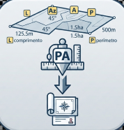
Generates length, azimuth, area and perimeter labels rotated along vector feature segments.