Home › Categories › Hydrology & water › Page 4
Hydrology & water QGIS plugins Page 4 of 5
QGIS plugins to model watersheds, floods, rivers and water networks. 249 plugins, 78 QGIS 4 ready, 164 actively maintained. Sorted by downloads. Showing 181–240.
Related categories: Raster & terrain · Spatial analysis · Remote sensing · Vector tools · Georeferencing & CAD · All categories
- PTHA Based Tsunami Inundation ToolNot QGIS 4 ready
A QGIS processing plugin that generates tsunami inundation hazard zones using Probabilistic Tsunami Hazard Assessment (PTHA) water levels an
- HydroGeomorphology Tools for QGISQGIS 4 ready
A plugin to support hydrological, geomorphological and watershed management planning in mountain basins, developed by HydroLab uniUD (https:
- Basdonax Keyline from DEMQGIS 4 ready
Computational design of Keyline infiltration lines from DEM/DTM.
This plugin gives access to spatial analysis tools that support Regenerative Land Design such as agroforestry, permaculture and food forests
- BVLIPNot QGIS 4 ready
FR: Delimitation automatique du bassin versant hydrographique en amont d'un point, a partir du RGE ALTI, avec metriques morphometriques et r
- MEMO Groundwater Network DesignNot QGIS 4 ready
Professional tool for groundwater monitoring well network efficiency, plume dispersion simulation, and probabilistic risk assessment. (專業地下水
- CGWB Groundwater Data Downloader - Daksh17440Not QGIS 4 ready
This plugin can directly download the official groundwater level data from WRIS portal of CGWB, in pivoted format, for custom location and t
- Flood SimulatorNot QGIS 4 ready
Generates an EPA SWMM input file from GIS data (DEM, land-use raster, streets and area of interest) for urban flood and drainage analysis.
- HidroModelagemNot QGIS 4 ready
Complete hydraulic modeling platform for water distribution networks in QGIS: builds and runs EPANET models, diagnoses the network by simula
- ClimateRisk ProNot QGIS 4 ready
Physical climate risk assessment for GIS features - TCFD, ISSB S2, BRSR, CSRD aligned. Integrates ThinkHazard, WRI Aqueduct, and NASA POWER
- SCIMAP ToolkitQGIS 4 ready
SCIMAP tools for catchment delineation, sediment and FIO risk mapping, network index, and flood risk mapping, with a guided panel, land cove
- Ubicacion_Optima_VRPNot QGIS 4 ready
QGIS plugin for optimizing PRV locations in water distribution networks.
- Net2INPQGIS 4 ready
Create EPANET .inp networks from line/multilinestring layers or XYZ CSV data
- VIDRasQGIS 4 ready
Automates the calculation of the Via de Intenso Desague (VID) according to Spanish Road Drainage Standard 5.2-IC, using HEC-RAS RAS Mapper o
- MJ-ChainageNot QGIS 4 ready
Calculate chainage values for point features along selected line layers
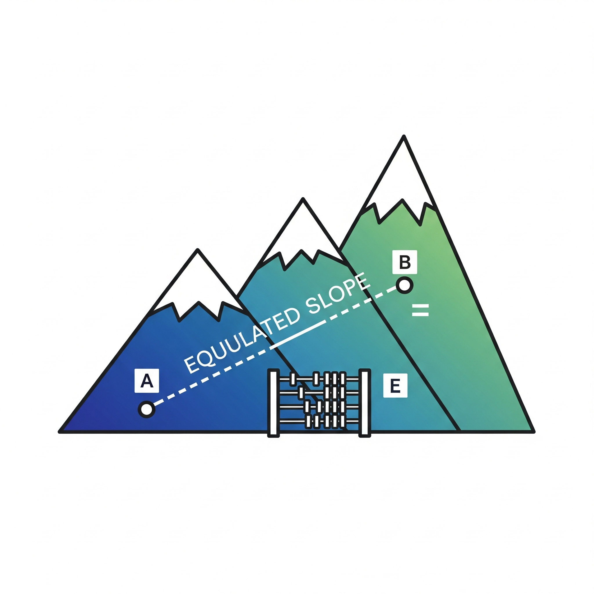
- EquivalentSlopeToolNot QGIS 4 ready
Calculates equivalent slope along a line using DEM
- SDB Production SuiteQGIS 4 ready
Professional Satellite Derived Bathymetry (SDB) generation tool using Random Forest Regression.
- GeohazardNot QGIS 4 ready
Plugin with various tools for landslide analysis and management
- stareauNot QGIS 4 ready
This plugin allows to manage data on underground water networks in accordance with the StaR'Eau geostandard.
- HandModelNot QGIS 4 ready
QGIS plugin for hydrological and geomorphological analysis using DEMs, with slope quartiles and drainage extraction.
- RivaPlanNot QGIS 4 ready
RivaPlan automates river planform morphology analysis in QGIS.
- SWMM ToolsNot QGIS 4 ready
Configure SWMM layers and allows assignment of subcatchment outlets, and calculate width from longest flowpath.
- Demand AllocatorNot QGIS 4 ready
Allocates demand points from house polygons to the nearest pipe network lines, generating house load points and reference connection lines f
- riverbank_erosion_accretion_v2Not QGIS 4 ready
Regime-aware riverbank erosion and accretion analyzer that accepts satellite-derived waterbody polygons directly and produces both areal (km
- BRO GrondwaterQGIS 4 ready
Retrieve and analyze BRO groundwater monitoring well data using Hydropandas
- QFAT04 CodePad--Not QGIS 4 ready
Extensible dockable QGIS code editor for TUFLOW and 12+ languages, with customizable syntax highlighting, script console, and modular add-on
- QITVNot QGIS 4 ready
Plugin Qgis pour les inspection telévisée de réseaux d'assainissements - QGIS plugin for sewer CCTV inspections
- AriesGeo ToolboxQGIS 4 ready
Geospatial productivity suite: Place Finder, AriesGapfill (Landsat 7 SLC-off repair), Mosaic & Cloud Remover, Map Layout Assistant, and Terr
- Coastal Inundation Under Climate ChangeQGIS 4 ready
Sea level rise flood mapping with hydraulic connectivity and DEM uncertainty bands
- Basin HydroRiskQGIS 4 ready
Preliminary hydrological and basin analysis from rainfall data and digital terrain models, including design rainfall, Gumbel EV1, GEV, Norma
- RiverDetectWoodQGIS 4 ready
RiverDetectWood: Automatic Detection and Quantification of In-Stream River Wood from Very High-Resolution Aerial Imagery.
- AR-TarseemNot QGIS 4 ready
DEM-to-hydrograph watershed modelling: delineation, special delineation points with reservoir storage routing (modified Puls), SCS-CN/UH des
- QSWOTNot QGIS 4 ready
Discover, download, visualize, and analyze SWOT satellite hydrology data (river reaches and lakes) from NASA PO.DAAC's Hydrocron API.
- IGN Assistant hydrographiqueQGIS 4 ready
This plugin helps with the semantic editing of hydrographic network sections.
- hatagu_water2Not QGIS 4 ready
Calculate pipeline rate in polygons
- Italian Minor Islands Coastal RiskNot QGIS 4 ready
Coastal erosion risk assessment dashboard for Italian minor islands. Calculates the Coastal Vulnerability Index (CVI) using multiple scienti
- Spatial Aggregation MeanQGIS 4 ready
Batch-aggregates monthly gridded climate CSV files to district means, with nearest-grid fallback for districts containing no grid points.
- HYDRA2DGPUQGIS 4 ready
GPU-accelerated 2D shallow water equation solver for QGIS
- LISFLOOD-FP PreprocessorNot QGIS 4 ready
Automated pre-processing tool for LISFLOOD-FP with topology checks, optional diffusive solver, and optional rainfall forcing
- FBDS SearchQGIS 4 ready
Creates environmental masks from FBDS data using an area selected in QGIS.
- FIC Coastal Change AnalysisNot QGIS 4 ready
Shoreline change analysis for QGIS: casts perpendicular transects along a baseline and computes NSM, EPR, LRR and WLR (with uncertainty) per
- QDebrisFlowNot QGIS 4 ready
Modelling of post-fire debris flows (O'Brien quadratic rheology + LIA). Individual source hydrographs, 5-tab interface, output layer selecti
- GeoITVNot QGIS 4 ready
[FR] GeoITV géolocalise les défauts et branchements observés lors des inspections télévisées (ITV) des réseaux d'assainissement en France à
- DEM Debris Flow GradientNot QGIS 4 ready
Batch calculates debris-flow main-channel longitudinal gradient from DEM using watershed polygons or outlet points.
- SeaState USQGIS 4 ready
Load U.S. NOAA coastal observations — tide-gauge water levels, tide predictions, and offshore buoys — as time-aware QGIS layers.
- RichDEMNot QGIS 4 ready
Terrain analysis algorithms from the RichDEM library
- Thiessen Irrigation WeightingNot QGIS 4 ready
Computes the area-weighted average of point station data (rainfall, irrigation water requirement, discharge, etc.) using the Thiessen (Voron
- Forest PlannerQGIS 4 ready
From forest census to management plan: drainage network, riparian buffers, log landings, skid trails, haul roads and impact areas for Amazon
- Parcel Watershed DelineationNot QGIS 4 ready
Delineates a single watershed for one or more parcels using one or more DEMs.
- GEAQUA Capture ZonesQGIS 4 ready
Analytical delineation of groundwater time-of-travel capture zones for a single pumping well.
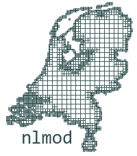
- NLMOD ViewerQGIS 4 ready
Inspect input and output of groundwater models built with NLMOD (NetCDF).
- HidroCN - Curva NumeroNot QGIS 4 ready
Download or build SCS Curve Number maps and compute zonal statistics for watersheds and subbasins.
- PrintLayout_By_DPMJNot QGIS 4 ready
Calculate chainage values for point features along selected line layers
- HydroCNNot QGIS 4 ready
SCS Curve Number calculator: SSURGO soils + NLCD land cover fetched automatically from federal web services, with slope-resolved dual hydrol
- WetSpass-M ModernQGIS 4 ready
Spatially distributed monthly water balance model for QGIS. Estimates groundwater recharge, evapotranspiration, surface runoff, and intercep
- Stormwater Drainage Plot and DesignQGIS 4 ready
Plot TUFLOW pipe and pit layers as a long section, and design new stormwater pipe runs on it.
- HydroSHEDS DownloaderNot QGIS 4 ready
A QGIS plugin for downloading and clipping HydroSHEDS hydrological data by study area.
- aXquaQGIS 4 ready
Set up, run and monitor TELEMAC and OpenFOAM river models from QGIS, with jobs that keep running after QGIS is closed.
- WaterQualNot QGIS 4 ready
Sentinel-2 water quality monitoring for lakes, reservoirs, and other inland/coastal waterbodies — chlorophyll-a and turbidity proxies (NDCI,
- RAM - Rainfall Analysis MalawiNot QGIS 4 ready
Rainfall extraction, mapping, SPI/RAI/PCI indices, and trend analysis for Malawi using CHIRPS data via Google Earth Engine.