Home › Categories › Hydrology & water › Page 2
Hydrology & water QGIS plugins Page 2 of 5
QGIS plugins to model watersheds, floods, rivers and water networks. 249 plugins, 78 QGIS 4 ready, 164 actively maintained. Sorted by downloads. Showing 61–120.
Related categories: Raster & terrain · Spatial analysis · Remote sensing · Vector tools · Georeferencing & CAD · All categories
- THYRSISNot QGIS 4 ready
THYRSIS (Transport HYdrogéologique Rapide Simulé en Insaturé et Saturé) is a plugin to simulate hydrogeological flow and transport of chemic
- Geology toolsQGIS 4 ready
Geology Tools offers a collection of plugins that simplify workflows in geology, hydrogeology, and seismic microzonation
- Hydrological Analysis Stream NetworkQGIS 4 ready
Algorithm for hydrological analysis that generates the drainage network from a digital terrain model (DTM)
- Reverse Flow DirectionNot QGIS 4 ready
This Plugin changes the direction of a polyline feature.
- CoGEOSNot QGIS 4 ready
This plugin enables the user to automatically extract shorelines and compute shoreline change rates.
- WNT Open Source 3Not QGIS 4 ready
A toolbox for water utility providers for QGIS 3.
- CE-QUAL-W2_BathymetryNot QGIS 4 ready
Helps to create CE-QUAL-W2 Bathymetric file
- Criar Pontos nos RiosNot QGIS 4 ready
Create START, END, CONFLUIT points in linear hydrographs.
- Mesh FlowQGIS 4 ready
Tool to extract flow from hydraulic model results contained in a mesh layer.
- PathoGAMENot QGIS 4 ready
The goal is to find the location of the contamination as soon as possible.
- Water Network Tools for Resilience (WNTR) IntegrationNot QGIS 4 ready
A QGIS Plugin for the WNTR (EPANET) piped water network modelling package. For creating water network models and visualisation of simulation
- Runoff Model: RORBNot QGIS 4 ready
Build a RORB control vector from a catchment
- Road Centerline ExtractorNot QGIS 4 ready
Extracts clean, topologically segmented centerlines from road, river, or other corridor-shaped polygons.
- Near Shore Bathymetry EstimatorNot QGIS 4 ready
Bathymetry determination using Multi Spectral Satellite imageries.
- longitudinalQGIS 4 ready
longitudinal along Lines and Points
- Q4TSQGIS 4 ready
QGIS for TELEMAC-SALOME is a pre-processing of open-TELEMAC meshes : mesh creation, mesh modification, mesh interpolation, creation of bound
- MAS Spatial Analysis ToolQGIS 4 ready
Comprehensive DEM analysis toolkit with 45+ hydrological, geomorphometric, and stream network tools. Numba-accelerated for fast processing.
- ICRAQGIS 4 ready
QGIS processing algorithms by ICRA
- Gusnet - Water Network ModellerQGIS 4 ready
Design, edit, simulate, and visualise water distribution networks using the power of EPANET, directly in QGIS
- PreCourlisQGIS 4 ready
Create geometry - sediment layered 1D cross-sections - of rivers for COURLIS which is the sediment transport module for MASCARET, the 1D fre
- JaltolNot QGIS 4 ready
a QGIS python plugin to make water balances for villages/watersheds in rural India. These plans help lead the user from data to decisions.
- BHCgeoNot QGIS 4 ready
Calculates the Climatic Water Balance in each pixel
- Indonesian Multi-scaled Grid SystemNot QGIS 4 ready
This plugin automate the determination of Indonesia's Environmental Support and Capacity.
- JSON to Waterbodies for QGISNot QGIS 4 ready
Creates linear and areal waterbody features from JSON.
- OpenRES: Open Riverine Ecosystem SynthesisQGIS 4 ready
A QGIS plugin for automated extraction of hydrogeomorphic features to support Functional Process Zone classification of river networks.
- Indian WAtershed Management support SystemNot QGIS 4 ready
This plugin help in planning watershed managment projects
- Sewerage DesignerNot QGIS 4 ready
The Sewerage Designer computes the required sizing and depth of a stormwater sewer system.
- GeoQNot QGIS 4 ready
Automatización del procesamiento de cálculo de la escorrentía superficial con el método de Número de Curva
- QNSPECTNot QGIS 4 ready
QGIS Plugin for NOAA Nonpoint Source Pollution and Erosion Comparison Tool (NSPECT)
- Qgis-TimQGIS 4 ready
QGIS plugin to setup Timflow multi-layer analytic elements
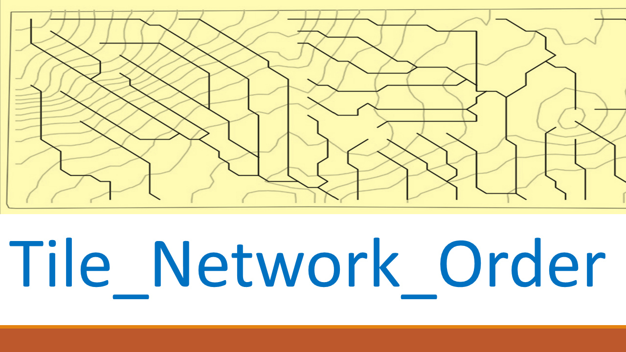
- Tile Network OrderNot QGIS 4 ready
Tile Network Order plugin generates Ordering ID, Burying Depths, Flow Direction etc.
- DiachronixNot QGIS 4 ready
A plugin to segment a river bed into regular blocks for the automatic extraction of active channel width along a segmented reach
- SEBCS for QGISNot QGIS 4 ready
Module for calculation of energy balance features and vegetation water stress indices
- Not-So-QT-DEMQGIS 4 ready
TauDEM 5.3 processing provider
- MINDED FBANot QGIS 4 ready
An automatic remote sensing tool for the estimation of flooded and burned areas.
- Flood Path FinderNot QGIS 4 ready
Developed with Python by Emerson N. Santos - 2024
- geeSWATQGIS 4 ready
geeSWAT is a QGIS plugin that integrates Google Earth Engine to support SWAT hydrological modelling workflows.
- Limburg Flood ImpactQGIS 4 ready
Limburg Flood Impact Plugin.
- WQICalculatorNot QGIS 4 ready
A QGIS plugin that automatically generates the Water Quality Index (WQI) using raster data.
- DDM HydroLogicQGIS 4 ready
Delineate and create model-ready catchments interactively. Trace D8 flow paths, selects the streams that matter, drop an outlet line, and ex
- UMapNot QGIS 4 ready
This plugin enables any user to transform a stack of digital bathymetric data terrain models into a bathymetric community map.
- QRichDemNot QGIS 4 ready
Qgis wrappers for RichDem
- AWDNot QGIS 4 ready
Automatic waterfalls detector
- Flood Simulation StudioQGIS 4 ready
Interactive flood simulation and return-period flood assessment tools for QGIS 3.x and 4.x.
- GeoDynGem GWSWNot QGIS 4 ready
sewerage prognosis tool for municipalities with support for GWSW-standard
- Hydro GeneratorNot QGIS 4 ready
Makes the hydrology file for inSALMO
- Hydronet Check & FlipNot QGIS 4 ready
Checks the hydro-network from the outfall and flip the arcs if necessary
- Subsea Cable ToolsQGIS 4 ready
Tools to support working with subsea cable data in QGIS.
- TopoDrainNot QGIS 4 ready
A QGIS plugin for planning surface drainage water management like Keyline-Design.
- Dichtheitsprüfung CheckerNot QGIS 4 ready
With this plugin, the raw data from leak tests (.sew files) can be read and checked for content.
- Manning's Roughness GeneratorNot QGIS 4 ready
Plugin to generate high resolution 2D Manning's roughness coefficients raster from land cover data.
- Dokumente verknüpfenNot QGIS 4 ready
With this Plugin documents can be connected to objects. It is designed for sewer system inspection data.
- FlutwelleNot QGIS 4 ready
Schätzt eine Flutwelle gemäss CTGREF
- S+HydPowerNot QGIS 4 ready
Plugin designed to estimate hydropower generation.
- CeeThreeDee QtoolsQGIS 4 ready
A suite of handy QGIS tools for Civil/Geo Engineers and Designers
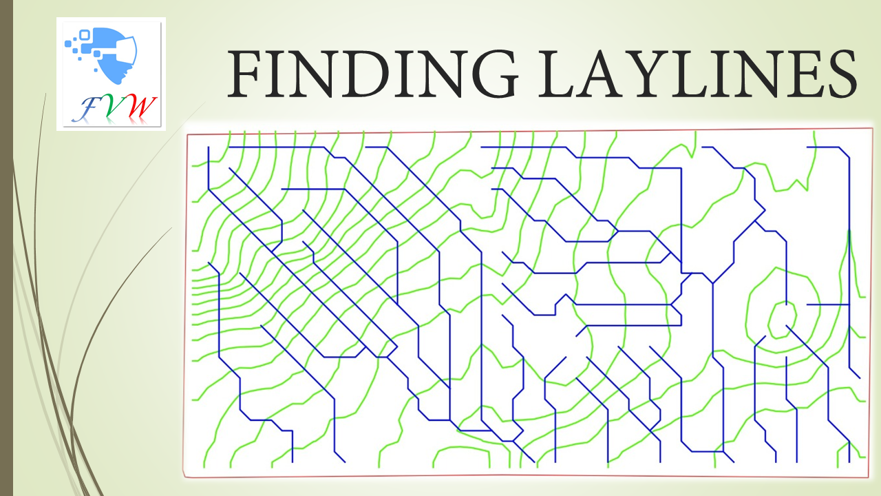
- finding_laylinesNot QGIS 4 ready
This plugin creates drain nets (consisting of contour lines and surface flow pathways called LAYLINES that are at right angles to each other
- HydroProfileNot QGIS 4 ready
Hydraulic profile generator for QGISRed water distribution networks.
- qCEPHEENot QGIS 4 ready
Plugin QGIS for CEPHEE
- S57ManagerQGIS 4 ready
FR:S57Manager est un plugin QGIS dédié à l’import, la gestion et l’affichage des données marines ENC (S-57).Il permet d’importer automatique
- ElanQGIS 4 ready
QGIS decision-support plugin for integrated urban water management by nature-based solutions