Home › Categories › Coordinates & projections › Page 3
Coordinates & projections QGIS plugins Page 3 of 4
QGIS plugins to capture, convert and transform coordinates and CRSs. 195 plugins, 81 QGIS 4 ready, 140 actively maintained. Sorted by downloads. Showing 121–180.
Related categories: Vector tools · Georeferencing & CAD · Raster & terrain · Web maps & export · Cartography & layout · All categories
- GeoQAQGIS 4 ready
Audit your vector layers for geometry, CRS, and attribute quality issues before spatial analysis.
- Layer Health CheckerQGIS 4 ready
Checks the integrity of vector and raster layers, detects invalid geometries, CRS issues, attribute inconsistencies, and raster metadata ano
- DIGIPIN ENCODERNot QGIS 4 ready
India Post DIGIPIN for QGIS: register on GeoVera, use your personal API key, encode/decode, map tools, layer batch processing, CSV I/O, and
- GISNET QToolsQGIS 4 ready
Narzędzia rozszerzające funkcjonalność programu o specjalistyczne funkcje przeznaczone do analizy danych z portali rządowych. EN: Tools that
- Projection Factors ReduxNot QGIS 4 ready
Calculates various cartographic projection properties as a raster layer
- XY CreatorQGIS 4 ready
Calculate Area, Length, X and Y coordinates for vector layers.
- QText+Not QGIS 4 ready
Enhanced CSV/TXT import plugin for QGIS with reliable coordinate handling, CRS/UTM management, and batch import workflows.
- Tower SpotterNot QGIS 4 ready
Generates tower polygons at each vertex of LineString layers or imported KML files. Automatically performs dynamic UTM reprojection for accu
- Quick Reproject ProNot QGIS 4 ready
Fast coordinate reference system (CRS) reprojection with custom shortcuts.
- Round_CoordinatesNot QGIS 4 ready
Round all the coordinates of a polyline layer to the nearest metre, without decimals.
- Smart Dynamic Route AnalyserNot QGIS 4 ready
Real-time dynamic route analysis tool for QGIS that calculates vertex angles and segment lengths in meters using automatic CRS detection and
- Coord2PolygonQGIS 4 ready
Create polygon features from rectangle coordinates or semicolon-separated coordinate pairs. // Erstellen Sie Polygon-Objekte aus Rechteckkoo
- Ineffable ToolsNot QGIS 4 ready
A comprehensive suite of QGIS tools for power grid and infrastructure workflows.
- CTX Polar ToolboxNot QGIS 4 ready
Edits custom CTX Polar CRS
- Google URL LocatorNot QGIS 4 ready
Extract coordinates from Google Maps URLs and create editable point layers in QGIS.
- Vectorel Digitizer Pro QGIS3Not QGIS 4 ready
Vectorel Digitizer Pro QGIS3 is a QGIS plugin for creating and editing vector features by entering, pasting or modifying numerical vertex co
- Israel TransCAD FixQGIS 4 ready
Fixes coordinate shift when importing TransCAD layers into QGIS (Israel ITM)
Worldwide batch CRS reprojection for vector and raster files
- CRSmartQGIS 4 ready
Uncertainty- and epoch-aware CRS / datum transformation assistant.
- GeoBridgeITQGIS 4 ready
IT: Client non ufficiale per le API IGM: conversione di coordinate e layer vettoriali tra datum italiani. / EN: Unofficial client for the IG
- CRS ConverterNot QGIS 4 ready
Convert coordinates between reference systems: single point, CSV, and multi-sheet Excel files with per-sheet CRS, plus reprojection of alrea
- Conversor UTM para SIG-RINot QGIS 4 ready
This tool automates the conversion of coordinate files from the UTM (Universal Transverse Mercator) projected system into the standardized G
- GeoArea LabelsQGIS 4 ready
Labels de área em polígonos QGIS com UTM global, SRC projetado e unidades métricas, internacionais e agrárias. Automatic area labels for QGI
- Alberi Monumentali ItaliaQGIS 4 ready
Scarica e visualizza gli alberi monumentali d'Italia dal registro ufficiale MASAF
- GISCraft Coordinate ExtractorQGIS 4 ready
Extract Geographic (Lat/Lon) and UTM (Northing/Easting) coordinates from point layers, with automatic UTM zone detection per point.
- ContourEaseNot QGIS 4 ready
Easily create professional contour maps and DEMs from XYZ CSV or Excel data with CRS conversion
- Acotación de parcela GISNot QGIS 4 ready
Automatically creates persistent parcel dimensions, recognizes approximated circular arcs, and produces numbered vertices, coordinate tables
- Horizon ProjectorNot QGIS 4 ready
Horizon Projector is a complete plugin for nautical and geodetic calculations in QGIS.
- Tramos sobre track (25830)Not QGIS 4 ready
Genera tramos sobre un track a partir de tabla (X/Y/Longitud/Tramo), todo en EPSG:25830. Incluye capa auxiliar y guardado a GPKG/SHP.
- Clip2PlaceQGIS 4 ready
Clip vector layers to an extent centered on a place anywhere in the world - a rectangle or circle around a point settlement (city, town, vil
- CRS Mismatch DetectorNot QGIS 4 ready
Scans your QGIS project for layers whose CRS differs from the project CRS and offers safe reprojection by creating new output layers.
- ProxiVecNot QGIS 4 ready
QGIS plugin for straightforward raster proximity analysis from vector targets with automatic CRS reprojection to a projected working CRS.
- Hatt2GreekGridNot QGIS 4 ready
Georeference scanned Hatt-projection topographic diagrams and maps (small or large sheets) and transform them to the current Greek Grid / GG
Spatial point sampling over a polygon area with 7 methods: Systematic Hilbert (SH), Hilbert Groups (GH), Row-Column Groups (GFC), Simple Ran
- Poprawka odwzorowawczaQGIS 4 ready
PL: Oblicza pole działek z poprawką PL-2000 według polskich przepisów geodezyjnych. | EN: Calculates parcel areas with the statutory PL-2000
- JSON Converter StudioNot QGIS 4 ready
Convert JSON data to CSV, Excel, GeoJSON, and QGIS point layers.
- CRS CompanionQGIS 4 ready
Shows a companion panel for the current project CRS.
- Conversor GeoespacialNot QGIS 4 ready
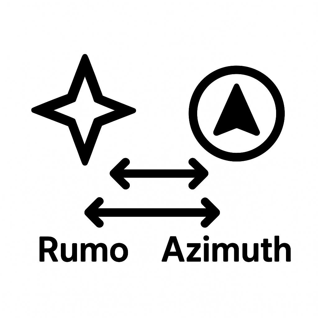
Tools for converting coordinates and angles (Bearing, Azimuth, DMS, DD, UTM).
- QgisTreeBenefitsQGIS 4 ready
[IT] Stima dei benefici ambientali degli alberi (metodo Orebla) a partire da un dataset di punti-albero. Interfaccia bilingue italiano/ingle
- Orthogonal MeasureNot QGIS 4 ready
Define a local orthogonal coordinate system on the map (origin + Y-axis) and construct points by entering X/Y offsets in metres.
- CRS DoctorNot QGIS 4 ready
Detect and fix coordinate reference system (CRS) problems across all project layers in one click.
- OCR2GeometryQGIS 4 ready
Create numbered points, lines and polygons from screenshots or pasted coordinate text.
- Extent matcherNot QGIS 4 ready
match raster's extent to target raster
- Réunion MFNot QGIS 4 ready
AROME overseas forecasts and precipitation radar mosaic (Météo-France) for Réunion Island, with native regional view, reprojected Réunion vi
- Memorial Descritivo ImporterQGIS 4 ready
Detects and imports vertex coordinates from Brazilian land survey PDF documents (memorial descritivo) into a point layer, with automatic for
- Layer CRS DisplayQGIS 4 ready
Displays layer CRS, audits a project's CRS consistency, and batch reprojects selected vector and raster layers.
- ProGrid QGIS — Transformador de DatumNot QGIS 4 ready
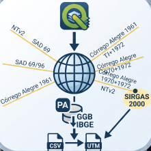
Offline coordinate transformation between SAD69, SAD69/96, Córrego Alegre 1961/1970 and SIRGAS2000 via IBGE NTv2 grids, equivalent to ProGri
- ARENARIA — GML Export for ARiMR (eWniosekPlus)Not QGIS 4 ready
Export layer geometries (polygons, lines, points) to a GML file in the reference-geometry import format of eWniosekPlus (ARiMR, Poland), cam
- Tissot Processing ProviderNot QGIS 4 ready
Projection distortion analysis, cartographic linting, map quality scoring, spatial diffing, and autofix — powered by a Rust core.
- Nearest Point FinderNot QGIS 4 ready
Finds the nearest point(s) across multiple layers to a given set of coordinates using geodesic distance
- Przeliczanie warstw i rastrów wsadowa zmiana układu współrzędnych - Batch CRS Reprojection for Layers and RastersNot QGIS 4 ready
Wsadowa transformacja plikow wektorowych i rastrowych miedzy polskimi ukladami wspolrzednych (WGS84, PL-1992, PL-2000, PL-UTM, UTM, 1965, 19
- LazyGeoNot QGIS 4 ready
Rosnedra license converter: Excel DMS coordinates (GSK-2011) → point layer and polygon in QGIS
- Calculadora de TalhõesNot QGIS 4 ready
Calculates geodesic area and perimeter of farm plots, labels polygons at center, and organizes field layers by farm.
- CSV ImporterQGIS 4 ready
Drag and drop CSV files and save them as point GeoPackage or Shapefile layers.
- Precisa — Cálculo GeodésicoNot QGIS 4 ready
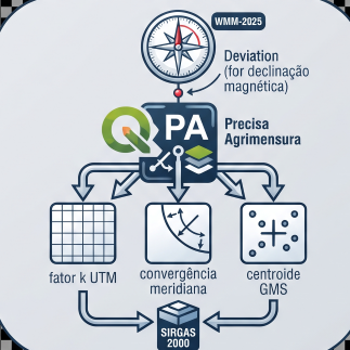
Magnetic declination (offline WMM-2025), meridian convergence, UTM scale factor, inverse azimuth and DMS conversion. Requires pyproj and geo
- QGIS-FME Flow ConnectorQGIS 4 ready
Run FME Flow workspaces from QGIS—export a layer, submit it via Job Submitter, and optionally load transformed results back into your map.
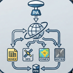
- Precisa — RBMC / Efemérides / PPKNot QGIS 4 ready
Automated download of RINEX, SP3, IONEX, ANTEX, hgeoHNOR2020 and a full PPK kit, with an optional AI co-pilot for ephemeris and RBMC (BRAZIL
- Eurekarto Projection ToolsQGIS 4 ready
Cut vector layers where a projection tears, clip them to its horizon, and build projection outlines.
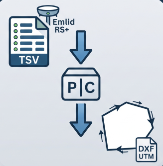
- Precisa PerímetroNot QGIS 4 ready
Reconstructs a boundary from Emlid RS+ TSV points (GTopo post-processed): detects chains, resolves duplicates, orders vertices and exports U
- FinCoordsNot QGIS 4 ready
Displays the latitude/longitude (EPSG:4326) of the selected point, with copy buttons. Developped to be used in GEMS