Home › Categories › Web maps & export › Page 4
Web maps & export QGIS plugins Page 4 of 4
QGIS plugins to publish web maps and export to other formats. 228 plugins, 101 QGIS 4 ready, 162 actively maintained. Sorted by downloads. Showing 181–228.
Related categories: Vector tools · Cartography & layout · Raster & terrain · Basemaps & tiles · Data download & OSM · All categories
- LizPack PublisherNot QGIS 4 ready
Manage your QGIS projects directly from your LizPack instance
- GIS Auditor ReportNot QGIS 4 ready
A powerful and user-friendly QA/QC plugin for validating vector data in QGIS. Configure duplicate, spatial, and exclusion-zone checks via a
- INSPIRE ExporterNot QGIS 4 ready
This version exports QMD and XML files compliant with ISO 19139, based on the National Geographic Information Metadata Profile (MIG Profile
- GIS Layer ConverterNot QGIS 4 ready
Advanced schema-union vector layer converter, name-collision protector, and database compiler tool.
- TLGeo2QGISQGIS 4 ready
It is a qgis agent, and a client for access tlgeo data source.
- Qgis Advanced Map Tips&ActionsQGIS 4 ready
Advanced Map Tips and Actions Studio for vector and raster layers with Qt-safe HTML cards, inline charts, and 1-click web/spatial actions.
- Grid-GeneratorNot QGIS 4 ready
An adaptive tool to generate tight grids, centroids, and buffers across multi-format layers (SHP, KML, KMZ, Lines, Polygons).
- Stratified PackagerQGIS 4 ready
Exports vector layers to multiple geopackages split by attributes or spatial intersection
- MapSplatQGIS 4 ready
Export QGIS projects to static web maps using PMTiles and MapLibre GL JS
- MetaGAMNot QGIS 4 ready
Plugin qui permet de gérer les métadonnées uniques à la métropole de Grenoble.
- 网优图层工具 (Shape Layer Tools)Not QGIS 4 ready
Layer tools for network optimization: create sector shapes from Excel, run layer containment queries, buffer/shrink point, line and polygon
- GeoContext SyncNot QGIS 4 ready
Export the current QGIS view as gcx.json plus datasets/*.geojson — save to a local folder or push to a GitHub repository via the system git.
- MJkml_MargeNot QGIS 4 ready
Merge multiple KMZ files into a single output file
- Eurekarto SVG ToolsQGIS 4 ready
Export a print layout map frame to a grouped, named SVG for Illustrator or Inkscape.
- GeoDeployQGIS 4 ready
Browse a GeoDeploy instance, add its layers, and publish layers back to it.
- Acervo SIG - CPRMQGIS 4 ready
Catalogo do acervo GEOSGB do Servico Geologico do Brasil (SGB/CPRM) diretamente no QGIS: pesquise, baixe e adicione dados ao projeto. Catal
- AcuGIS Cloud PublisherNot QGIS 4 ready
Publish entire QGIS project directories to AcuGIS Cloud and update existing published projects.
- Spatial Bookmark ExtentsQGIS 4 ready
Displays QGIS spatial bookmark extents as toggleable map-canvas rectangles with buffered, overlap-aware bookmark names, and exports extents
- JSON Converter StudioNot QGIS 4 ready
Convert JSON data to CSV, Excel, GeoJSON, and QGIS point layers.
- MAFF FudePolygonExporterNot QGIS 4 ready
農水省(MAFF)筆ポリゴンデータ(GeoJSON)からそれらを構成している各ポイントの座標(平面直角座標系)を取得しCSVファイルに出力します。 This program retrieves the coordinates (plane rectangular coordina
- Yield Data CleanerQGIS 4 ready
Inspect, map, review, and non-destructively clean combine yield-monitor data one field at a time.
- TOFPAQGIS 4 ready
ICAO Annex 4 Take Off Flight Path Area (TOFPA) creation and analysis
- Computo Metrico GISQGIS 4 ready
Computo metrico e contabilita lavori in QGIS con prezziari regionali o CSV/XLSX/DCF, SAL, report PDF/XLSX e progetto dimostrativo. / Bill of
- GISPublisherQGIS 4 ready
Generate and deploy interactive GIS web applications directly from QGIS layers.
- FGQEP01 Browse EnhancerNot QGIS 4 ready
Enhances QGIS Save/Export browse workflows with extra mouse actions, folder presets, and path autofill.
- Mega Batch Intersect & Calculator GlobalNot QGIS 4 ready
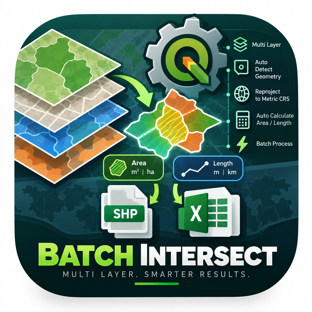
An enterprise-level PyQGIS algorithm engineered to automate spatial intersection across multiple layers simultaneously. It intelligently det
- VeloronaQGIS 4 ready
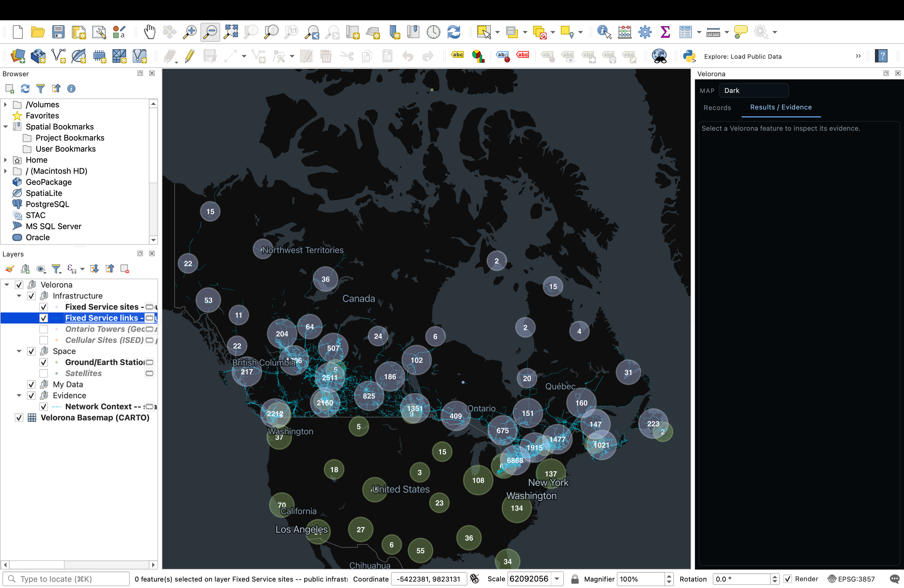
Telecom link evidence, inside QGIS. Explore -> Select -> Analyze -> Evidence -> Export.
- Automatização de MemorialNot QGIS 4 ready
Ferramentas para preparar campos, somar perímetros e dimensões, ordenar linhas, gerar descrições de trajetos e exportar memoriais descritivo
- ARENARIA — GML Export for ARiMR (eWniosekPlus)Not QGIS 4 ready
Export layer geometries (polygons, lines, points) to a GML file in the reference-geometry import format of eWniosekPlus (ARiMR, Poland), cam
- Region Export (Admin Polygon)QGIS 4 ready
Select an administrative polygon (name/gb) and export intersecting parcels.
- GratisGISQGIS 4 ready
Browse, edit, and publish GratisGIS portal content from QGIS.
- Info LayersNot QGIS 4 ready
Query configured vector and vector tile layers even when they are not visible in the current map view.
- Calculadora de TalhõesNot QGIS 4 ready
Calculates geodesic area and perimeter of farm plots, labels polygons at center, and organizes field layers by farm.
- CSV ImporterQGIS 4 ready
Drag and drop CSV files and save them as point GeoPackage or Shapefile layers.
- Precisa — Altitude Geoidal (hgeoHNOR2020)Not QGIS 4 ready
Geoid undulation and normal height via IBGE's hgeoHNOR2020 grid (BRAZIL). Automatic offline download (~2 MB), bilinear interpolation, CSV an
- Multi Background ExporterNot QGIS 4 ready
Export the current visible QGIS map composition as a high-resolution PNG, or batch-export background variants
- STAplus SCKQGIS 4 ready
QGIS 4 plugin for STAplus SCK: AUTHENIX login via QGIS OAuth2, kit serial, and MQTT publish.
- Web Map Kit LiteNot QGIS 4 ready
Publish your QGIS project as a fast, shareable web map (vector tiles, your styles, popups, search) to your own free Cloudflare storage.
- Layer file listQGIS 4 ready
Show loaded layers in a non-blocking table and export the list to CSV.
- Precisa GEO 2 EarthNot QGIS 4 ready
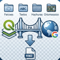
Exports QGIS layers to a KMZ organized in folders (Features, Labels, Hatching, Orthomosaic), preserving the current symbology.
- Quick Canvas ExportNot QGIS 4 ready
Exports the active canvas view with a scalebar to image or clipboard.
- Export Map to EMFNot QGIS 4 ready
Exports the current map canvas to an Enhanced Metafile (.emf). Adds an entry to File > Import/Export, regardless of the QGIS UI language (in
- Map to HTML: Label PrepNot QGIS 4 ready
Batch-prepare vector layer labels for HTML/Leaflet export, writing them to a separate layer style so the working style is never lost.
- 建築規制ボリューム検討 (Building Volume Finder)Not QGIS 4 ready
Searches practical building volumes (floor area) that satisfy road/neighboring slant limits, floor-area ratio, building coverage ratio, and
- Cadence ConnectorQGIS 4 ready
This plugin connects QGIS to Cadence allowing users to upload files and styling to projects and maps in Cadence.
- Layout PublisherNot QGIS 4 ready
Dockable panel to refresh and publish (PDF/PNG/SVG) multiple print layouts at once without opening the layout designer.
- GeoDelQGIS 4 ready
Upload and share GIS data without leaving QGIS.
- GeoInboxQGIS 4 ready
GeoInbox helps to transmit and prepare governed field-to-office-to-field GIS data in QGIS 4 by receiving them directly via email, GISimple c