Home › Categories › Utilities › Page 9
Utilities QGIS plugins Page 9 of 9
QGIS plugins to speed up everyday QGIS work and plugin development. 534 plugins, 207 QGIS 4 ready, 301 actively maintained. Sorted by downloads. Showing 481–534.
Related categories: Vector tools · Cartography & layout · Raster & terrain · Spatial analysis · Web maps & export · All categories
- Simple Hopefully Reliable Integrated Music PlayerNot QGIS 4 ready
Simple Hopefully Reliable Integrated Music Player - A simple music player plugin for QGIS. Play music while you work on your maps!
- QGIS LABQGIS 4 ready
Read, search and bookmark QGIS LAB articles inside QGIS.
- PRESTONot QGIS 4 ready
Planning Renewable Energy Sustainability and Timing Organization
- IGN Assistant complexeQGIS 4 ready
This plugin facilitates the management of the relationship between road segments and numbered or named roads, and allows users to add or rem
- MIHANot QGIS 4 ready
This plugin calculates environmental and social indexes
- QGIS Project HandoffQGIS 4 ready
Create conservative QGIS project handoff folders and ZIP packages from local file-backed data sources.
- Spatial Aggregation MeanQGIS 4 ready
Batch-aggregates monthly gridded climate CSV files to district means, with nearest-grid fallback for districts containing no grid points.
- 小班Jump3Not QGIS 4 ready
小班Jumpと林道Jumpを国有林ツールバーから利用できます。 / Provides Shohan Jump and Rindo Jump actions on the National Forest toolbar.
- FGQEP01 Browse EnhancerNot QGIS 4 ready
Enhances QGIS Save/Export browse workflows with extra mouse actions, folder presets, and path autofill.
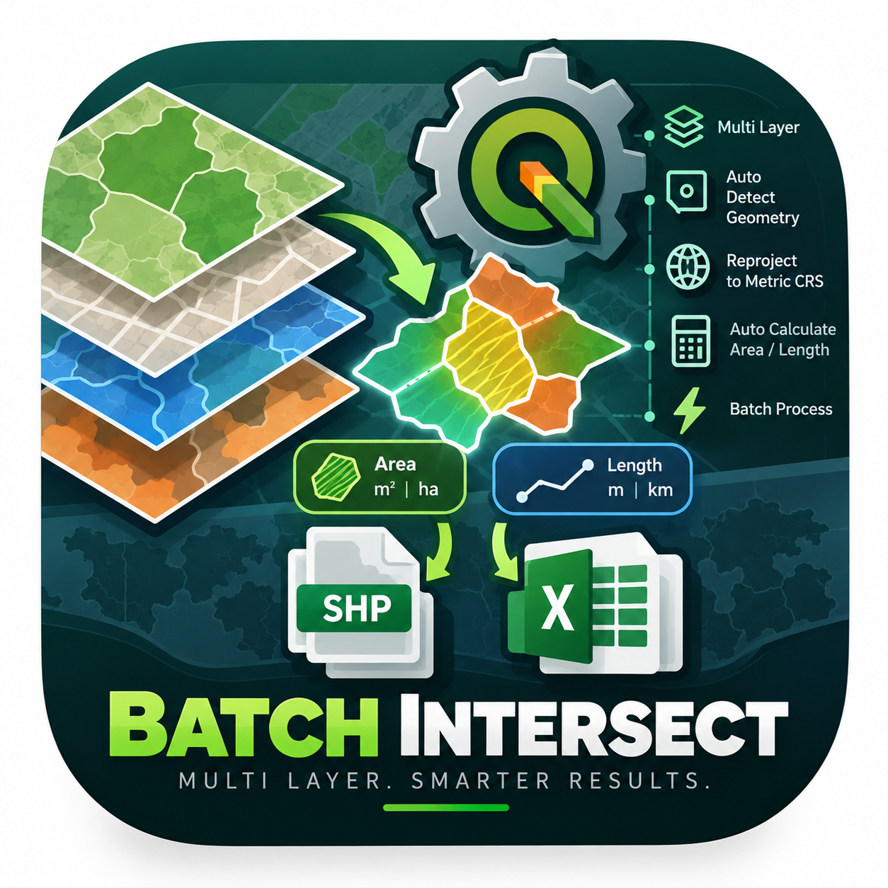
- Mega Batch Intersect & Calculator GlobalNot QGIS 4 ready
An enterprise-level PyQGIS algorithm engineered to automate spatial intersection across multiple layers simultaneously. It intelligently det
- DuplicateLayerRemoverQGIS 4 ready
Find and safely remove duplicate layers from the current QGIS project.
- Layer FinderQGIS 4 ready
Quickly search and select layers and groups in the current QGIS project.
- HazmapperNot QGIS 4 ready
Display Hazmapper project layers using QGIS
- OffsetorNot QGIS 4 ready
Calculates points from the offset positions off a base line
- VRI PivoNot QGIS 4 ready
Center Pivot Systems Irrigation
- qgis-bridgeNot QGIS 4 ready
Receives spatial layers from a Python environment and adds them to the current QGIS project.
- MAJ_version_QgisQGIS 4 ready
Modify the QGIS version recorded in the current .qgz project file. If the project to be modified is a QGIS 4 project, apply fixes for QGIS 3
- TrilatoratorNot QGIS 4 ready
Trilaterate a point from two known points and distances from them.
- ArraymakerQGIS 4 ready
Makes points in a circle around a central point
- Map Frame StoryboardNot QGIS 4 ready
Export the current map canvas as a structured video shot brief.
- Shp2SSAPNot QGIS 4 ready
Qgis plugin to create simple geological model for SSAP software (www.ssap.eu)
- GeoStar SelectorNot QGIS 4 ready
Advanced magic wand selection tool for raster layers with PS-like functionality, multi-feature support, keyboard shortcuts, and export capab
- Raster Batch ClipQGIS 4 ready
Batch clip one raster by multiple polygon or grid features with automatic attribute-based output naming.
- Sumo Terminal Name Via Count FTTHNot QGIS 4 ready
Generate terminal sequence names from TRM_Range field.
- HaloNot QGIS 4 ready
Pager for QGIS operators
- LayerWheelQGIS 4 ready
Execute configurable actions with the middle mouse button on layers and groups in the QGIS Layer Panel.
- QGIS Python IDE ProQGIS 4 ready
A professional, modular Python IDE for QGIS 4 / Qt6: multi-format code editor, dynamic PyQGIS language service, live diagnostics with quick
- Multi Background ExporterNot QGIS 4 ready
Export the current visible QGIS map composition as a high-resolution PNG, or batch-export background variants
- ReNCAT PreprocessorNot QGIS 4 ready
Determine plausible locations for a specific type of facility based on user-selected layers.
- CarbonEstNot QGIS 4 ready
This plugin can be used to estimate carbon stocks and removals through plant biomass using allometric equations
- DM ConverterQGIS 4 ready
公共測量で作成された数値地形図データ(DM)をQGISに読み込める形式に変換するプラグイン。A QGIS plugin for loading Digital Mapping (DM) data.
- galleryofpossibilitiesNot QGIS 4 ready
A feminist map icon gallery and QGIS plugin.
- KICT SWAT-K 2026QGIS 4 ready
KICT SWAT-K 2026
- Find ValueQGIS 4 ready
Find and zoom to selected feature by value
- QGIS to Vision10Not QGIS 4 ready
Click a map coordinate to open it directly in Vision10 NDP, already in 45 degree oblique view.
- geoObserverToolsQGIS 4 ready
Installs QGIS plugins (geoObserverTools) from an online JSON list.
- QgisTreeRiskQGIS 4 ready
Valutazione Rischio Arboreo - Tree risk assessment
- Zoom To Predefined ScalesQGIS 4 ready
Lock the map canvas zoom to the project's predefined scales.
- Quick RightMenu ActionsNot QGIS 4 ready
Add common operations to the right-click menu
- Pastastore ViewerQGIS 4 ready
Visualize time series and models from a PastaStore zip file.
- auto_terminalNot QGIS 4 ready
Automatic terminal placement on nearby Cable_path features
- Quick FeaturesQGIS 4 ready
Use feature templates and keyboard shortcuts to accelerate the manual creation of features
- Toolbar ManagerNot QGIS 4 ready
Choose which toolbars are shown and which tools appear on each toolbar.
- HotKey AttributesQGIS 4 ready
Instantly set attribute values on selected features using configurable keyboard shortcuts (any key or combination). No more opening the attr
- MAJ PLU CNIGNot QGIS 4 ready
QGIS plugin for updating French PLU datasets according to the CNIG PLU v2025-06 standard.
- VFM Dataset InspectorNot QGIS 4 ready
Inspect and validate experimental VFM geospatial dataset files in QGIS.
- Quick Field KeysQGIS 4 ready
Navigate and edit a designated layer with configurable shortcuts, column locks, explicit layer-wide save and feature Undo. No automatic file
- Geodata: NGP (Lantmäteriet)QGIS 4 ready
Search and download reference objects from Sweden's National Geodata Platform (NGP)
- Geoprocesador De IUFNot QGIS 4 ready
Este plugin de QGIS genera un mapa de IUF según el método escogido.
- FlutwellenQGIS 4 ready
https://github.com/RetepRelleum/flutwelle
- GitHub BrowserNot QGIS 4 ready
Browse, open, edit and upload files in GitHub repositories from within QGIS
- Seismic InterpreterNot QGIS 4 ready
2D SEG-Y Viewer and Horizon Picker for QGIS
- Signalering QCNot QGIS 4 ready
Sample-based quality control for BGT/BAG signalering deliveries (pinpoint / pinline / pinpolygon)
- Zoom to MeNot QGIS 4 ready
One button that zooms the map to where this computer appears to be.