Home › Categories › Cartography & layout › Page 6
Cartography & layout QGIS plugins Page 6 of 6
QGIS plugins to style maps, labels and print layouts. 320 plugins, 139 QGIS 4 ready, 215 actively maintained. Sorted by downloads. Showing 301–320.
Related categories: Vector tools · Web maps & export · Raster & terrain · Utilities · Georeferencing & CAD · All categories
- GeoPhoto Tri & AtlasNot QGIS 4 ready
Imports geotagged photos (EXIF GPS), creates the points on the map, sorts/copies the photos into folders named after polygon footprints, and
- QGDB Provider & Manager (LADM-COL Colombia)Not QGIS 4 ready
Native hierarchical geodatabase provider QGDB (extended GeoPackage) compliant with Colombia LADM-COL v3.0, IGAC Cartography, and ESRI FileGD
- GeoRampNot QGIS 4 ready
Scientific colour ramps, interactive histograms and multi-layer raster styling for QGIS.
- Dimension ToolNot QGIS 4 ready
CAD/ArcGIS-Pro-style dimension lines (linear, aligned, angular, radius, diameter, leader) stored as a GeoPackage layer.
- MapInfo Project Importer for QGISNot QGIS 4 ready
Imports MapInfo TAB/MIF layers and WOR workspaces into QGIS, preserving embedded styles and restoring workspace layer settings where support
- Zoom To Predefined ScalesQGIS 4 ready
Lock the map canvas zoom to the project's predefined scales.
- Розграфка номенклатури топографічних планів УкраїниNot QGIS 4 ready
Плагін для автоматичної генерації розграфки номенклатури топографічних планів у масштабах 1:500 - 1:10000 у регіональних (місцевих) системах
- GeoServer ManagerQGIS 4 ready
Manage a GeoServer from QGIS: workspaces, stores, layers, styles, tile cache and settings.
- Map to HTML: Label PrepNot QGIS 4 ready
Batch-prepare vector layer labels for HTML/Leaflet export, writing them to a separate layer style so the working style is never lost.
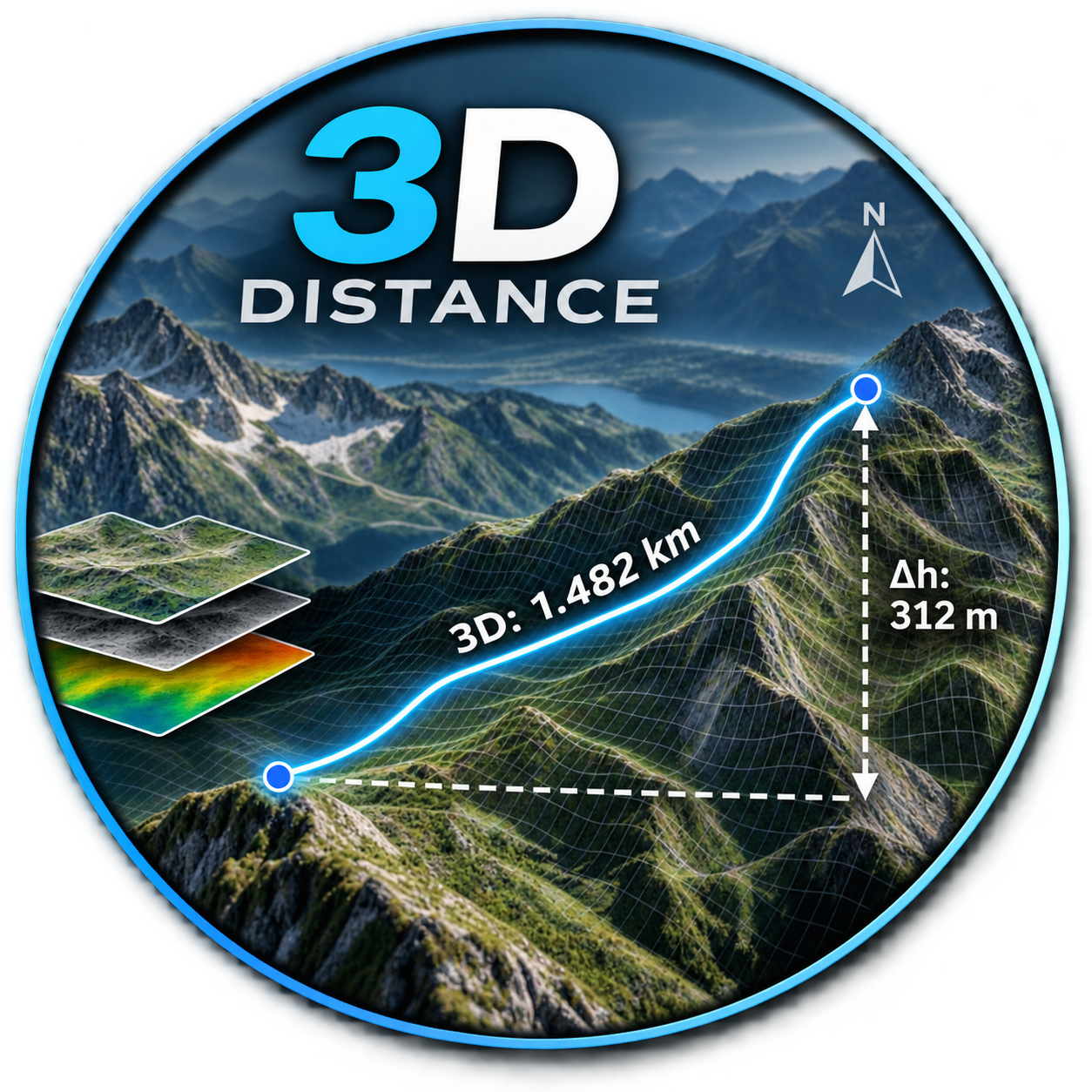
- Distance_3DNot QGIS 4 ready
DE: Beschrifte einen Layer mit der 3D-Länge und dem Azimut. EN: Label a layer with the 3D length and azimuth.
- Style Auto PluginQGIS 4 ready
Automatically applies categorized styles to the active layer using JSON-based rules.
- Colorbar ExporterNot QGIS 4 ready
Export labeled colorbars for raster and vector layers
- Layout Guide ToolsNot QGIS 4 ready
Create Layout Guides
- Layout PublisherNot QGIS 4 ready
Dockable panel to refresh and publish (PDF/PNG/SVG) multiple print layouts at once without opening the layout designer.
- QUI - Quantum User InterfacesQGIS 4 ready
Visual theme editor for the QGIS user interface: click any part of a live QGIS mockup and restyle it.
- IMI Rates Portugal (flatin.pt)QGIS 4 ready
Adds a map layer with the yearly IMI (municipal property tax) rate of all 308 municipalities of Portugal, styled by rate, with official boun
- Thematic mapsNot QGIS 4 ready
This plugin maintains thematic maps in a layout Atlas based on visibility themes
- Ukiyo-e ReliefNot QGIS 4 ready
Renders a DEM as a Japanese woodblock print (ukiyo-e): flat colour plates, bokashi, key-block outlines, misregistration, wood grain and wash
- GeosysAI SyncNot QGIS 4 ready
Sync vector and raster layers between QGIS and a GeosysAI project (pull with styling, push create-or-overwrite).
- Evidence MapperNot QGIS 4 ready
Publication-ready study-distribution maps (bubble or choropleth) for literature reviews, systematic reviews and evidence-gap maps.