Home › Search › DEM
DEM QGIS plugins
231 plugins match “DEM”, by name, tag, author or description. Showing the 30 most relevant, most downloaded first. Refine this search or browse by category.
- OpenTopography DEM DownloaderQGIS 4 ready
This plugin downloads DEM from OpenTopography.org
- DEMto3DQGIS 4 ready
3D Printing of terrain models.
- QuickDEM4JPQGIS 4 ready
Convert DEM XML files, provided by Geospatial Information Authority of Japan(GSI) to DEM GeoTiff and/or Terrain RGB format GeoTiff.
- EasyDEMQGIS 4 ready
Download and visualise Digital Elevation Models (SRTM, Copernicus…) via Google Earth Engine, clipped to your area / Baixe e visualize Modelo
- C-GEO Wizualizacja GML demoNot QGIS 4 ready
Wtyczka wczytuje oraz wizualizuje dane EGiB, GESUT, BDOT500 zapisane w plikach GML.
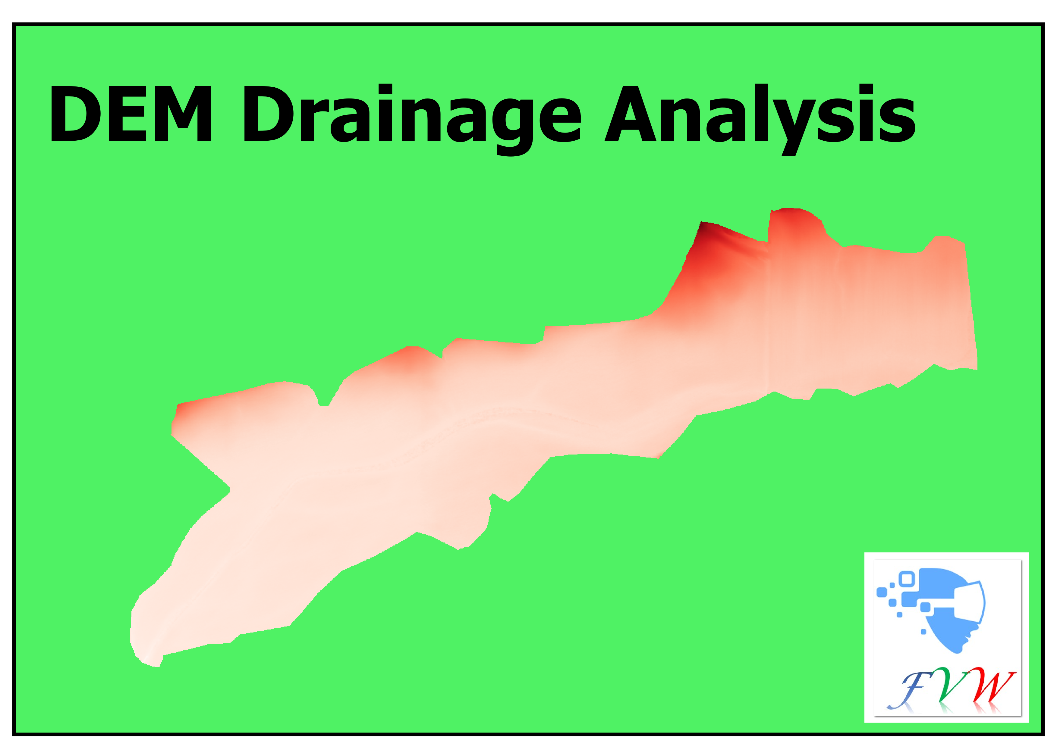
- DEM Drainage AnalysesNot QGIS 4 ready
This plugin performs specific DEM analyses on drainage sites.
- Global DEM PortalQGIS 4 ready
Select 1°x1° tiles on a map and download nine free global DEMs (SRTM, NASADEM, ALOS, Copernicus, Mapzen, ANADEM, GEDTM30) straight into QGIS
- Not-So-QT-DEMQGIS 4 ready
TauDEM 5.3 processing provider
- BathyFlowDEMNot QGIS 4 ready
Anisotropie interpolation for bathymetric data
- QRichDemNot QGIS 4 ready
Qgis wrappers for RichDem
- PngTile2DemQGIS 4 ready
Generate DEM GeoTIFF from numeric WebP elevation tiles
- DEM Route Profile and Terrain Cost AnalyzerQGIS 4 ready
DEM route profile, 3D terrain section, multi-DEM comparison, terrain cost analysis, and basic earthwork cut/fill volume tool.
- DEM DownscalingNot QGIS 4 ready
Plugin to increase DEM resolution using Hopfield Neural Network method with spatial dependence maximization and elevation constraints. Featu
- DEM Resample InterpolatorNot QGIS 4 ready
Professional DEM resampling tool for high-resolution terrain analysis using Bilinear, Bicubic, and Lanczos interpolation methods.
- txt2tif DEM builderQGIS 4 ready
G空間情報センター等でダウンロードできるtxt/csv形式のDEMをgeotiff形式に変換するプラグインです。 This plugin converts DEM data in txt/csv format (e.g., from the Geospatial Informat
- xDEMQGIS 4 ready
A wide range of high-level operations required for analyzing elevation data.
- Basdonax Keyline from DEMQGIS 4 ready
Computational design of Keyline infiltration lines from DEM/DTM.
- Multi-Source DEM DownloaderNot QGIS 4 ready
Download, mosaic and clip multiple global DEM/DSM datasets by study area in QGIS.
- US Demographic ReportsNot QGIS 4 ready
Generate professional demographic reports and datafills from block group data with proportional area allocation
- Demand AllocatorNot QGIS 4 ready
Allocates demand points from house polygons to the nearest pipe network lines, generating house load points and reference connection lines f
- PL-QGIS-DemografiaNot QGIS 4 ready
Automatyczna integracja danych demograficznych GUS BDL z granicami PRG GUGiK dla planowania przestrzennego. English Automated integration
- DEM Debris Flow GradientNot QGIS 4 ready
Batch calculates debris-flow main-channel longitudinal gradient from DEM using watershed polygons or outlet points.
- RichDEMNot QGIS 4 ready
Terrain analysis algorithms from the RichDEM library
- DEM-o-gorgonQGIS 4 ready
Flip your DEM into the upside down: invert elevations and apply a dark retro-horror style. / Dale la vuelta a tu DEM: invierte las alturas y
- DEM CrawlerNot QGIS 4 ready
Masks out altitude or basins upstream or downstream from a starting point.
- Qgis2threejsQGIS 4 ready
3D map visualization and web export powered by three.js JavaScript library
- Google Earth EngineQGIS 4 ready
Integrates QGIS with Google Earth Engine
- ImportPhotosQGIS 4 ready
Import Photos
- MapTilerQGIS 4 ready
Street and satellite base maps with vector tiles
- LAStoolsQGIS 4 ready
batch-scriptable, multicore command-line tools for processing point clouds in LAS, LAZ, and ASCII formats