
Home › Raster & terrain › qgSurf

qgSurf QGIS 4 compatibility
QGIS 4 ready Active
Yes — qgSurf supports QGIS 4 (declared max version 4.99.0).
Processing of geological planes and surfaces
About
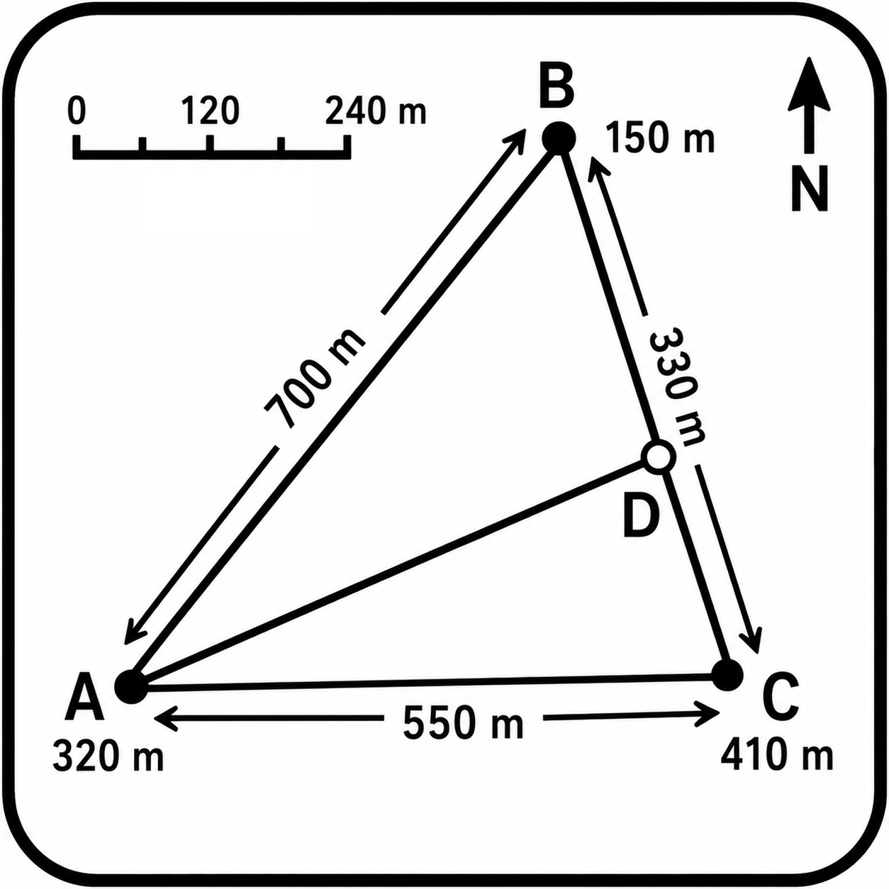
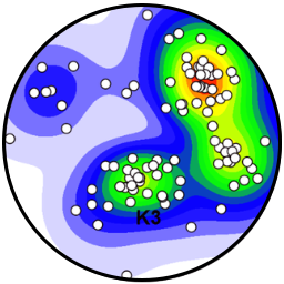
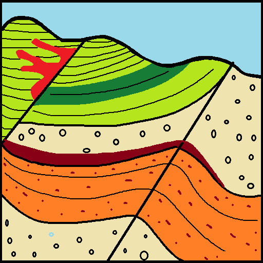
qgSurf is a field-mapping/structural-geology plugin that can be used as an aid in: a) estimating the attitude of sub-planar geological surfaces given three or more points on a topographic surface; b) determining the intersection between a geological plane and a topographic surface; c) calculating the distance between points and a geological plane; d) plotting geological data in a stereonet; e) creating geological profiles; f) interpreting exported geological profiles in an editable distance-elevation section plane.
| Author | Mauro Alberti |
|---|---|
| Downloads | 83,998 |
| Latest version | 4.4.0 |
| Last updated | 2026-08-19 (57 days ago) |
| Min QGIS | 4.0.0 |
| Max QGIS | 4.99.0 |
| QGIS 4 ready | Yes |
| Maintenance | Active |
| Category | Raster & terrain |
| Tags | intersection, raster, geological planes, structural geology, dem |
Homepage · Repository · Issue tracker · Official page
Alternatives in Raster & terrain
- Profile toolQGIS 4 ready
Plots terrain profile
- Qgis2threejsQGIS 4 ready
3D map visualization and web export powered by three.js JavaScript library
- SRTM-DownloaderQGIS 4 ready
Downloads SRTM Tiles from NASA Server


Related plugins
- Sec InterpQGIS 4 ready
Data extraction for geological interpretation
- StereoplotQGIS 4 ready
Interactive stereographic projection plotting and analysis tool for QGIS
- Stratigraphic ThicknessNot QGIS 4 ready
Estimates the stratigraphic thickness of a sedimentary succession, with optional topographic correction using a DEM.
- GeolAttitudeQGIS 4 ready
Plugin for for interactive estimation the attitude of geologic planar features from DTMs. Implements user-selectable fitting methods and unc
- StereonetStudioQGIS 4 ready
Professional stereographic projection (stereonet): polar/equatorial grid, poles, density contours, rose diagram, kinematic analysis (planar
- SecGeolQGIS 4 ready
QGIS plugin for generating geological cross sections and reconstructing interpreted profiles in 3D.


Maintenance: Active = updated within 1 year, Quiet = 1–3 years, Likely abandoned = over 3 years.