
Home › Georeferencing & CAD › Ochave Curvo

Ochave Curvo QGIS 4 compatibility
QGIS 4 ready Active
Yes — Ochave Curvo supports QGIS 4 (declared max version 4.99.0).
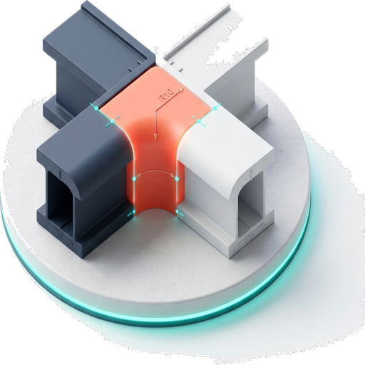
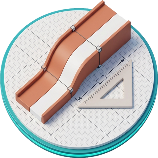
Creates a 5-meter curved chamfer directly in QGIS for urban cadastre, cadastral mapping, and georeferenced lot design.
About
Ochave Curvo was created as a practical response to a common need in urban cartographic work: the lack of a direct tool for generating curved chamfers inside QGIS. Designed for users working in urban cadastre, cadastral mapping, land parcel design, and georeferenced urban plans, this plugin automatically creates a curved chamfer with a fixed radius of 5 meters, reducing manual calculations, geometric adjustments, and dependence on external tools. Its purpose is to provide a simple, precise, and accessible solution for those who build urban information through cartography, strengthening QGIS as a free and open-source tool for municipal, cadastral, and urban technical workflows.
| Author | Ing. MSc. Jorge Ayala Niño de Guzmán |
|---|---|
| Downloads | 257 |
| Latest version | 1.0.0 |
| Last updated | 2026-07-02 (106 days ago) |
| Min QGIS | 3.28.0 |
| Max QGIS | 4.99.0 |
| QGIS 4 ready | Yes |
| Maintenance | Active |
| Category | Georeferencing & CAD |
| Tags | urban planning, georeferenced lots, vector editing, urban cadastre, curved chamfer, cadastral mapping, cadastre |
Homepage · Repository · Issue tracker · Official page
Alternatives in Georeferencing & CAD
- Shape ToolsQGIS 4 ready
Shape Tools is a collection of geodesic shapes and tools. Create circle, ellipse, line of bearing, points along a line of bearing, concentri
- AnotherDXFImporterQGIS 4 ready
Add DXF to QGIS , optional georeferencing, optional convert DXF to Shape/GeoPackage
- LF ToolsQGIS 4 ready
Comprehensive solutions for cartographic production, surveying, drone mapping, GNSS data import, geospatial database management, digital ima



Related plugins
- EasyFilletQGIS 4 ready
EasyFillet is a CAD-like fillet tool for QGIS, allowing you to create true tangent arcs and trimmed lines between two segments. The plugin b
- PlanX CAD ToolsetQGIS 4 ready
AutoCAD-style drafting inside QGIS: 39 tools for precise drawing, editing, snapping, dimensions, hatching, transforms, and urban road design
- PlanX Settlement Planning ToolsetQGIS 4 ready
PlanX Settlement Planning Tools. A 9-stage sequential workflow toolset capable of generating blocks, parcels, building footprints, parking,
- ParcelFluxQGIS 4 ready
Subdivide zoning blocks into parcels with minimum-frontage, depth and corner rules, width variation, row asymmetry, fishbone offset, and aut
- Kiểm tra CSDL GISQGIS 4 ready
Kiểm tra hồ sơ GIS quy hoạch đô thị và nông thôn theo Thông tư 16/2025/TT-BXD (Phụ lục II): cấu trúc hồ sơ, nhóm dữ liệu chuyên đề, lớp dữ l
- cadastreNot QGIS 4 ready
This plugins helps users to use French land registry data, called Cadastre, in QGIS. It is only useful in France for people having access to




Maintenance: Active = updated within 1 year, Quiet = 1–3 years, Likely abandoned = over 3 years.