
Home › Georeferencing & CAD › ParcelFlux
ParcelFlux QGIS 4 compatibility
QGIS 4 ready Active
Yes — ParcelFlux supports QGIS 4 (declared max version 4.99.0).
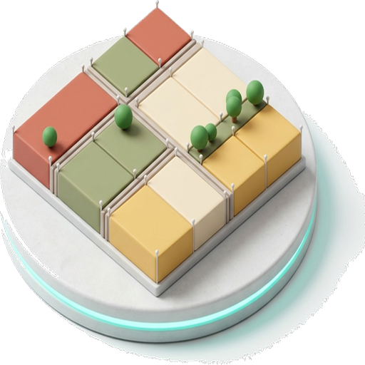
Subdivide zoning blocks into parcels with minimum-frontage, depth and corner rules, width variation, row asymmetry, fishbone offset, and automatic residual merging.
About
ParcelFlux automates the subdivision of zoning blocks into parcels with natural variation. It supports single/double-row detection, minimum street frontage, explicit front-row depth and corner-plot widening, row-width asymmetry for differentiated front/rear facades, fishbone-style organic boundary offsets, H-line shift for asymmetric depth, and 3-pass automatic merging of residual fragments. Output is complete by construction: parcels that exceed the maximum area are split further, and anything still outside the envelope is kept and flagged rather than deleted, with a coverage report after every run. Results can be previewed before they are added, and four seeded layouts can be compared side by side. Developed at Dokuz Eylul University, Department of City and Regional Planning. Online User Manual & Documentation: https://geophilo.com/parcelflux/ | If you find this plugin helpful, please consider starring the repository on GitLab (https://gitlab.com/geophilo1/parcelflux)!
| Author | Yusuf Eminoglu |
|---|---|
| Downloads | 2,676 |
| Latest version | 0.3.5 |
| Last updated | 2026-09-16 (29 days ago) |
| Min QGIS | 3.28.0 |
| Max QGIS | 4.99.0 |
| QGIS 4 ready | Yes |
| Maintenance | Active |
| Category | Georeferencing & CAD |
| Tags | urban planning, parcel, subdivision, settlement, dock, qgis, planx |
Homepage · Repository · Issue tracker · Official page
Alternatives in Georeferencing & CAD
- Shape ToolsQGIS 4 ready
Shape Tools is a collection of geodesic shapes and tools. Create circle, ellipse, line of bearing, points along a line of bearing, concentri
- AnotherDXFImporterQGIS 4 ready
Add DXF to QGIS , optional georeferencing, optional convert DXF to Shape/GeoPackage
- LF ToolsQGIS 4 ready
Comprehensive solutions for cartographic production, surveying, drone mapping, GNSS data import, geospatial database management, digital ima



Related plugins
- PlanX Settlement Planning ToolsetQGIS 4 ready
PlanX Settlement Planning Tools. A 9-stage sequential workflow toolset capable of generating blocks, parcels, building footprints, parking,
- IsoParcelNot QGIS 4 ready
Equitable polygon subdivision into configurable row*column grids with automatic topological cleaning.
- PlanXQGIS 4 ready
Embedded urban analytics engine: space syntax (segment angular analysis), network centrality, urban morphology, OD matrices, OD shortest-pat
- PlanX 3D City ViewerQGIS 4 ready
Export QGIS layers and launch the interactive PlanX 3D City web viewer.
- PlanX Uygulama İmar Planı (Master Plan) ToolsetQGIS 4 ready
PlanX Spatial Planning Plugins - A toolset automating the Uygulama İmar Planı (UIP - Master Plan) implementation processes.
- PlanX Urban Procedural 3DQGIS 4 ready
Parametric 3D urban design and procedural planning toolbox with real-time compliance feedback.






Maintenance: Active = updated within 1 year, Quiet = 1–3 years, Likely abandoned = over 3 years.