Home › Categories › Remote sensing › Page 3
Remote sensing QGIS plugins Page 3 of 6
QGIS plugins to work with satellite, aerial and drone imagery. 351 plugins, 132 QGIS 4 ready, 250 actively maintained. Sorted by downloads. Showing 121–180.
Related categories: Raster & terrain · Spatial analysis · AI & machine learning · Data download & OSM · Hydrology & water · All categories
- Earth Observation Pavement AnalysisNot QGIS 4 ready
This plugin prepares the data sets to train, validate and assess earth observation imagery for pavement analysis
- SEBCS for QGISNot QGIS 4 ready
Module for calculation of energy balance features and vegetation water stress indices
- Land Cover DownloaderNot QGIS 4 ready
Downloads Sentinel-2 Land Cover Data from Esri's Living Atlas
- MINDED FBANot QGIS 4 ready
An automatic remote sensing tool for the estimation of flooded and burned areas.
- MESMANot QGIS 4 ready
Processing tools for the MESMA (Multiple Endmember Spectral Mixture Analysis) unmixing algorithm.
- RTH PROJECTQGIS 4 ready
O RTH PROJECT é um plugin QGIS voltado para agricultura de precisão e sensoriamento remoto, reunindo mais de 33 ferramentas ativas que cobre
- Sen2Cor AdapterNot QGIS 4 ready
Provides graphical integration of the Sen2Cor tool in QGIS.
- VDIPNot QGIS 4 ready
It computes site-specific soil line using NIR-Red band spectral space. Further, it estimates vegetation and drought indices.
- MonitaskNot QGIS 4 ready
a SAM (facebook segment anything model and its decendants) based geographic information extraction tool just by interactive click on remote
- geeSWATQGIS 4 ready
geeSWAT is a QGIS plugin that integrates Google Earth Engine to support SWAT hydrological modelling workflows.
- QgisToUGCSNot QGIS 4 ready
A Plugin to create UGCS missions from GPKG layers. This is made for drone users that want to lead AreaScan for a drone-line inspection
- Mapping Biocontrol Ecosystem ServicesNot QGIS 4 ready
This QGIS plugin was developed by the University of Évora to map the biocontrol services that species occuring in natural and semi-natural h
- openEOQGIS 4 ready
Simplified access to openEO services.
- MapBiomas FogoQGIS 4 ready
This plugin allows access to MapBiomas fire products directly in QGIS
- QDAINot QGIS 4 ready
It computes soil moisture at high resolution using the SMAP/SMOS 36km coarse resolution global soil moisture data
- EDAC ToolsNot QGIS 4 ready
A toolbox containing various Python-based tools developed by the Earth Data Analysis Center (EDAC) at the University of New Mexico.
- Lantmäteriets tjänsterQGIS 4 ready
Convenient connection to several of Lantmäteriet's (the national land survey of Sweden) services, such as downloading data, connecting to ST
- EcoVisioL8Not QGIS 4 ready
Este complemento fue diseñado para automatizar y optimizar la obtención de índices SAVI, NDVI y SIPI, así como la realización de correccione
- Pixel Purity IndexNot QGIS 4 ready
Pixel Purity Index algorithm
- InSAR SuiteQGIS 4 ready
Integrated suite for loading, processing and analysis of PSI displacement data
- Change Detection ToolNot QGIS 4 ready
A plugin to perform change detection between two rasters by comparing pixel by pixel.
- Index CalculatorNot QGIS 4 ready
This plugin calculates different indexes from Sentinel 2 snapshots.
- STAC BrowserQGIS 4 ready
IT: Cerca e scarica dati di osservazione della Terra dai cataloghi STAC disegnando un'area o cercando un indirizzo. / EN: Search and downloa
- IEPNB ToolsQGIS 4 ready
Tool for querying datasets of the Spanish Inventory of Natural Heritage and Biodiversity (IEPNB) via interoperable services with the Integra
- Three-D Change DetectionNot QGIS 4 ready
Tool for change detection between temporally different DEMs (rasters) of the same location
- Oemc PluginNot QGIS 4 ready
This plugin provides easy access to OEMC and OpenGeoHub STAC services
- RiverBankErosionAndAccretionNot QGIS 4 ready
End-to-end riverbank erosion and accretion analyzer with satellite data fetching via STAC API, multi-index water extraction (NDWI/MNDWI/AWEI
- CartoCultures_ML_GEENot QGIS 4 ready
Plugin professionnel de cartographie des cultures avec Machine Learning et Google Earth Engine - Développé au Pôle Digital Agriculture
- GeoForest ToolsQGIS 4 ready
Tool for forest analysis and management integrated with Google Earth Engine.
- Burned Area DetectorNot QGIS 4 ready
BAD_Burned Area Detector
- Chandrayaan-2 IIRSNot QGIS 4 ready
Generates reflectance from Radiance data of Imaging Infrared Spectrometer sensor of Chandrayaan 2
- VirtuGhan - Satellite Data ToolsQGIS 4 ready
Satellite data search, preview, download, tile basemap creation, and spectral analysis in QGIS. Supports Sentinel-2, Landsat 8/9, and Sentin
- Cloud Mask Sentinel-2Not QGIS 4 ready
Masking cloud, shadows and snows on Sentinel-2
- Abi GEE Index DownloaderNot QGIS 4 ready
One Click Download remote sensing index plugin using Google Earth Engine
- Data AugmentationNot QGIS 4 ready
This plugin generate basic data augmentation.
- VantorQGIS 4 ready
A QGIS plugin for searching, visualizing, and downloading data from the Vantor Open Data STAC catalog.
- MODIS LST download and processingNot QGIS 4 ready
This plugin is made to download and visualise MODIS LST data. you can get raw data from the usgs server, select multiple tiles, get mean val
- spectralmatchNot QGIS 4 ready
relative radiometric normalization toolkit for raster mosaics and time series
- LibreGeoLensNot QGIS 4 ready
Experiment with MLLMs to analyze remote sensing imagery
- K-L8SliceNot QGIS 4 ready
Este nombre combina el algoritmo k-means que se utiliza para el agrupamiento (K) con "Landsat 8", que es el tipo específico de imágenes sate
- satellite_derived_bathymetry_for_qgisNot QGIS 4 ready
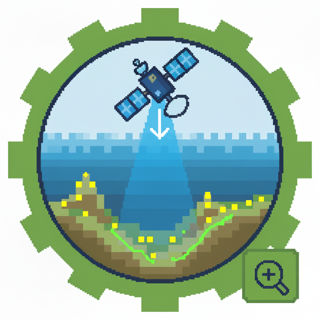
A comprehensive and automated toolkit for Satellite-Derived Bathymetry (SDB) using machine learning, featuring integrated ICESat-2 data retr
- Moisture and Water Index 2.0Not QGIS 4 ready
Este complemento calcula el índice NDWI con las imágenes del Landsat 8.
- Show Corona CAST by clickQGIS 4 ready
Click on the QGIS canvas to find and load declassified CORONA spy satellite imagery (1960-1972) from the Corona CAST Atlas (University of Ar
- TerrascopeQGIS 4 ready
Search and visualize Terrascope STAC API data with time slider and time series plotting.
- Estonian Oblique Aerial PhotographsNot QGIS 4 ready
Get the oblique aerial photographs of Estonia at the clicked location on the map
- Landsat Water MaskNot QGIS 4 ready
Build Water/Land mask shapefiles from Landsat 4/5/7/8/9 (Reflectance & QA_PIXEL); Sentinel-2 (FMASK); and OPERA (BWTR) layers. Water 'Occurr
- EvapoGISNot QGIS 4 ready
Evapotranspiração
- ARD360 - QGIS PluginNot QGIS 4 ready
Load, manage, and view 360-degree street-level imagery with integrated web-based panoramic viewer
- PrevisioniNot QGIS 4 ready
This plugin connect to Previsioni API.
- Apple Maps DownloaderNot QGIS 4 ready
Select an area in QGIS and render Apple Maps satellite frame views to an EPSG:3857 GeoTIFF/BigTIFF through an external Chromium/Edge browser
- OrthoManagerQGIS 4 ready
Orthophoto inspection tool with VRT management, inspection right-click menu, and ZXCV drawing shortcuts
- HydroSovereign AI EngineNot QGIS 4 ready
HSAE v6.0.14: Transboundary water sovereignty. 26 basins, 17 tools, 6 Processing Algorithms, 6 original indices (ATDI/AHIFD/AFSF/AHLB/ASI/AT
- Road VectorisationNot QGIS 4 ready
This plugin is designed to vectorize roads on satellite images
- Generate KMZ Mission (DJI FlightHub 2)QGIS 4 ready
Creates a DJI waypoint mission: reads a QGIS point layer and generates a .kmz file ready for upload to DJI FlightHub 2.
- Visor de escenas Sentinel-2 y Landsat - SERNANPNot QGIS 4 ready
English description: This plugin allows users to search, preview, and load Sentinel-2 and Landsat (5, 7, 8, and 9) satellite scenes directly
- moniQueNot QGIS 4 ready
Monoplotting oblique images with uncertainty estimation.
- Camera2geoNot QGIS 4 ready
Camera to geographic space image conversion
- BillabongNot QGIS 4 ready
Billabong is a comprehensive QGIS plugin for hydrology and flood engineering, providing instant access to Australian rainfall data, flood ma
- basinkitQGIS 4 ready
Click a river anywhere on Earth and get an analysis-ready basin package: elevation, terrain surfaces, land cover, soil, rainfall, surface wa
- Environmental Assessment StudioQGIS 4 ready
Runs Google Earth Engine environmental assessments from QGIS 4.x with AOI, date-range, raster, vector, and trend-analysis outputs.