
Home › Vector tools › Quick Shape Update

Quick Shape Update QGIS 4 compatibility
Not QGIS 4 ready Quiet
Not yet — the latest version declares max QGIS version 3.99.0, so it is not offered to QGIS 4 users.
Automatic update of the shapes length and/or area in the selected layer
About
This plugin updates the shapes length and/or area in the selected layer. It's useful after clipping a polygon for example, as the new shape area doesn't automatically change. Make sure the attributes are "Shape_Length" for the length and "Shape_Area" for the area.
| Author | Sylvain Milliot |
|---|---|
| Downloads | 7,097 |
| Latest version | 0.1 |
| Last updated | 2023-11-01 (1079 days ago) |
| Min QGIS | 3.0.0 |
| Max QGIS | 3.99.0 |
| QGIS 4 ready | No |
| Maintenance | Quiet |
| Category | Vector tools |
| Tags | geometry, calculator, attribute edit |
Homepage · Repository · Issue tracker · Official page
Alternatives in Vector tools
- HCMGISQGIS 4 ready
HCMGIS - Basemaps, Download OpenData, Batch Converter, VN-2000 Projections, and Field Calculation Utilities
- mmqgisQGIS 4 ready
A collection of QGIS vector layer operation plugins
- Shape ToolsQGIS 4 ready
Shape Tools is a collection of geodesic shapes and tools. Create circle, ellipse, line of bearing, points along a line of bearing, concentri


Related plugins
- Quick Field EditorNot QGIS 4 ready
Quick Field Editor is a QGIS plugin that simplifies attribute table updates with tools for serial numbers, geometry calculations (area, leng
- Attribute Transfer to SchemaNot QGIS 4 ready
Attribute Transfer to Schema plugin that enables seamless transfer of attribute data from a source vector layer to a template layer with a p
- LiveMeasureNot QGIS 4 ready
Displays real-time distances and areas directly on the map while digitizing features.
- Calculate GeometryQGIS 4 ready
Calculates area, length, in arbitrary units, without typing expressions
- GeoCalcQGIS 4 ready
One-click geometric calculations: polygon area, line length, and point coordinates, with configurable units. Works with selected layers.
- Mega Batch Intersect & Calculator GlobalNot QGIS 4 ready
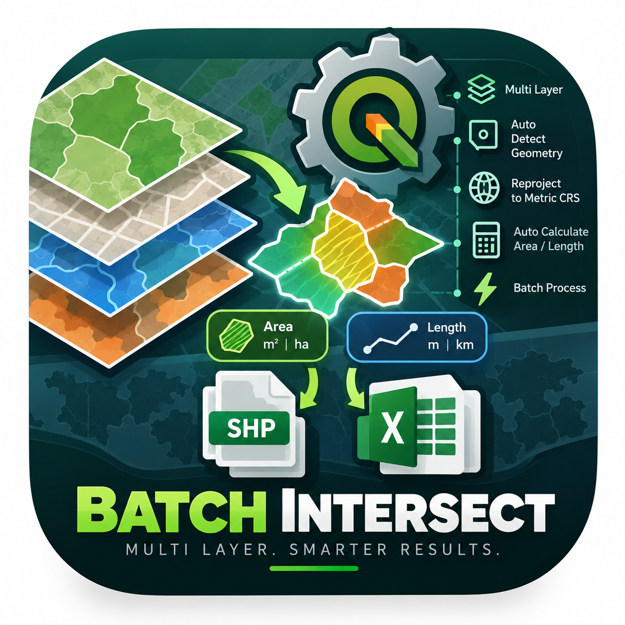
An enterprise-level PyQGIS algorithm engineered to automate spatial intersection across multiple layers simultaneously. It intelligently det





Maintenance: Active = updated within 1 year, Quiet = 1–3 years, Likely abandoned = over 3 years.