
Home › AI & machine learning › LandScan Population Modelling
LandScan Population Modelling QGIS 4 compatibility
Not QGIS 4 ready Active
Not yet — the latest version declares max QGIS version 3.99.0, so it is not offered to QGIS 4 users.
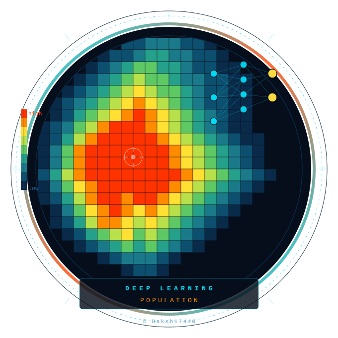
The plugin offers diverse options of loss function and deep learning models to be applied on LandScan population rasters of custom AOI and time frame.
About
The plugin offers diverse options of loss function and deep learning models to be applied on LandScan population rasters of custom AOI and time frame.
| Author | Daksh17440 |
|---|---|
| Downloads | 281 |
| Latest version | 1.0 |
| Last updated | 2026-05-31 (137 days ago) |
| Min QGIS | 3.0.0 |
| Max QGIS | 3.99.0 |
| QGIS 4 ready | No |
| Maintenance | Active |
| Category | AI & machine learning |
| Tags | python, population modelling, landscan, deep learning, population |
Homepage · Repository · Issue tracker · Official page
Alternatives in AI & machine learning
Raster classification in QGIS with 11 machine learning algorithms, Optuna hyperparameter search, SHAP explanations, class imbalance handling
- ArcGeek CalculatorQGIS 4 ready
ArcGeek Calculator is a QGIS plugin that provides a comprehensive set of tools for coordinate calculations, conversions, spatial operations,
- Bunting Labs AI VectorizerQGIS 4 ready
Autocomplete for vectorizing and georeferencing raster maps.



Related plugins
- MapflowNot QGIS 4 ready
Extract real-world objects from satellite imagery with Mapflow by Geoalert. Mapflow provides AI mapping pipelines for building footprints, r
- Deepness: Deep Neural Remote SensingNot QGIS 4 ready
Inference of deep neural network models (ONNX) for segmentation, detection and regression
- GeoAIQGIS 4 ready
GeoAI plugin for QGIS providing AI-powered geospatial analysis including tree segmentation (DeepForest), water segmentation (OmniWaterMask),
- AI Segmentation by TerraLabQGIS 4 ready
AI segmentation in QGIS 3.22 to 4. Draw a zone, name an object and get every building footprint, tree or solar panel as vector polygons, or
- QGIS Full Motion VideoQGIS 4 ready
Full Motion Video plugin for QGIS 4.
- AI Edit by TerraLabQGIS 4 ready
Generative AI image editing for QGIS 3.22 to 4. Show a redevelopment, a planted street, a flood or an orthophoto redrawn as a clean site pla





Maintenance: Active = updated within 1 year, Quiet = 1–3 years, Likely abandoned = over 3 years.