
Home › Remote sensing › Mapflow

Mapflow QGIS 4 compatibility
Not QGIS 4 ready Active
Not yet — the latest version declares max QGIS version 3.99.0, so it is not offered to QGIS 4 users.
Extract real-world objects from satellite imagery with Mapflow by Geoalert. Mapflow provides AI mapping pipelines for building footprints, roads, fields, forest and construction sites.
About
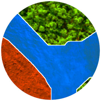
Mapflow provides AI models for automatic feature extraction from satellite imagery. Choose a web imagery provider or upload you own image, select what type of features you want to extract and your area of interest, and Mapflow will do the rest. Currently, we can extract: - buildings - agricultural fields - forest (optionally, with height) - roads - construction sites For a step-by-step user guide, go to https://docs.mapflow.ai/api/qgis_mapflow#user-interface
| Author | Geoalert |
|---|---|
| Downloads | 212,792 |
| Latest version | 3.6.3 |
| Last updated | 2026-09-14 (32 days ago) |
| Min QGIS | 3.20.0 |
| Max QGIS | 3.99.0 |
| QGIS 4 ready | No |
| Maintenance | Active |
| Categories | Remote sensing, AI & machine learning |
| Tags | roads, remote sensing, classification, feature extraction, machine learning, digitizing, artificial intelligence, forest, forestry, satellite, construction detection, earth observation, deep learning, building detection, agricultural field detection |
Homepage · Repository · Issue tracker · Official page
Alternatives in Remote sensing
- Semi-Automatic Classification PluginQGIS 4 ready
The Semi-Automatic Classification Plugin (SCP) allows for the supervised classification of remote sensing images, providing tools for the do
- Google Earth EngineQGIS 4 ready
Integrates QGIS with Google Earth Engine
Raster classification in QGIS with 11 machine learning algorithms, Optuna hyperparameter search, SHAP explanations, class imbalance handling



Related plugins
- Deep Learning Datasets MakerNot QGIS 4 ready
tools to handle raster and vector data to split it into small pieces equaled in size for machine learning datasets
- AI Segmentation by TerraLabQGIS 4 ready
AI segmentation in QGIS 3.22 to 4. Draw a zone, name an object and get every building footprint, tree or solar panel as vector polygons, or
- AI Edit by TerraLabQGIS 4 ready
Generative AI image editing for QGIS 3.22 to 4. Show a redevelopment, a planted street, a flood or an orthophoto redrawn as a clean site pla
- ArcGeek CalculatorQGIS 4 ready
ArcGeek Calculator is a QGIS plugin that provides a comprehensive set of tools for coordinate calculations, conversions, spatial operations,
- Nimbo's Earth BasemapsQGIS 4 ready
Nimbo's Earth Basemaps is an innovative Earth observation service providing cloud-free, homogenous mosaics of the world's entire landmass as
- Deepness: Deep Neural Remote SensingNot QGIS 4 ready
Inference of deep neural network models (ONNX) for segmentation, detection and regression





Maintenance: Active = updated within 1 year, Quiet = 1–3 years, Likely abandoned = over 3 years.