Home › Data download & OSM › Geodata: NVDB downloader (Trafikverket)

Geodata: NVDB downloader (Trafikverket) QGIS 4 compatibility
QGIS 4 ready Active
Yes — Geodata: NVDB downloader (Trafikverket) supports QGIS 4 (declared max version 4.99.0).
Search and download NVDB road data from Trafikverket's open API
About
Download NVDB road data (road network, speed limits, road classes, road numbers and more) from Trafikverket's open API for the current map extent, saved as GeoPackage in SWEREF 99 TM. The first tab fetches any single NVDB table. The second tab fetches ready-made presets; the main one builds one road network layer for cars, bikes and pedestrians by joining several NVDB tables, and styles it with a style derived from Lantmäteriet's open Topografi 10 style. Covers Sweden only. Requires a free API key from data.trafikverket.se, stored in the QGIS authentication database. No extra Python packages are needed. The user interface is in Swedish; the README contains an English guide to every control and message. The plugin is independent and not developed by Trafikverket or Lantmäteriet.
| Author | Mats Elfström |
|---|---|
| Downloads | 145 |
| Latest version | 1.0.1 |
| Last updated | 2026-10-19 (24 days ago) |
| Min QGIS | 3.34.0 |
| Max QGIS | 4.99.0 |
| QGIS 4 ready | Yes |
| Maintenance | Active |
| Categories | Data download & OSM, Network & routing |
| Tags | nvdb, trafikverket, sweden, roads, road network, open data, geopackage |
Homepage · Repository · Issue tracker · Official page
Alternatives in Data download & OSM
- NextGIS QuickMapServicesQGIS 4 ready
Quickly find and add basemaps and geodata services to your project in one click using the open QMS catalog
- QuickOSMQGIS 4 ready
Download OSM data thanks to the Overpass API. You can also open local OSM or PBF files. A special parser, on top of OGR, is used to let you
- HCMGISQGIS 4 ready
HCMGIS - Basemaps, Download OpenData, Batch Converter, VN-2000 Projections, and Field Calculation Utilities



Related plugins
- Road Network Integration ToolkitQGIS 4 ready
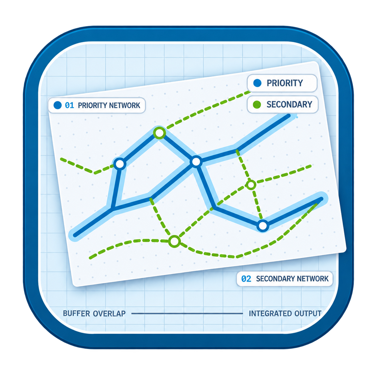
Streamline multi-source road network integration, alignment and coverage classification in QGIS.
- Geodata: Vektor (Lantmäteriet)QGIS 4 ready
Search and download open vector data, and cut out areas of the topographic web map, from Lantmäteriet's STAC services.
- 02AgentOSM - OpenStreetMap DownloaderQGIS 4 ready
Download OpenStreetMap (OSM) data into QGIS and extract roads, buildings, the street network, schools, hospitals, parks, transit and more fo
- OpenGeoEnrichNot QGIS 4 ready
Open-source geoenrichment for QGIS: enrich points, lines, or polygons with open-data population, roads, facilities, land-cover, and terrain
- OSM Data ToolkitQGIS 4 ready
Download and export OpenStreetMap data for a selected area of interest using the Overpass API, with support for GeoPackage and Shapefile for
- Network StudioNot QGIS 4 ready
Utility network management for QGIS: water, sewer, storm, gas, electricity, fiber, telecom, district cooling and roads, in GeoPackage, Spati





Maintenance: Active = updated within 1 year, Quiet = 1–3 years, Likely abandoned = over 3 years.