
Home › Georeferencing & CAD › Numerar Lote

Numerar Lote QGIS 4 compatibility
Not QGIS 4 ready Quiet
Not yet — the latest version declares max QGIS version 3.99.0, so it is not offered to QGIS 4 users.
GENERATE REAL ESTATE LOT NUMBERING
About
This tool aims to propose to the user the possibility of automatically generating the lot numbering, either in sequential numbering or by the measurement of its tested, in both methodologies, the user will need to define only the initial lot of each block so that the tool manage the other numbers, always clockwise. Esta ferramenta visa propor ao usuário a possibilidade de gerar de forma automática a numeração do lote, seja ela em numeração sequencial ou pela medida da testada deste, em ambas as metodologias, o usuário necessitará definir apenas o lote inicial de cada quadra para que a ferramenta gere as demais numerações, sempre em sentido horário. Visualisar: <a href='https://github.com/AntonioTLeandro/Numerar_Lotes/blob/main/TUTORIAL_GERAR_NUMERACAO_D_LOTE.pdf'>Manual do Plugin</a>
| Author | Gloria Santos, Antonio Teles |
|---|---|
| Downloads | 6,088 |
| Latest version | 0.6 |
| Last updated | 2025-04-30 (533 days ago) |
| Min QGIS | 3.22.6 |
| Max QGIS | 3.99.0 |
| QGIS 4 ready | No |
| Maintenance | Quiet |
| Category | Georeferencing & CAD |
| Tags | imobiliario, lote, cadastro, loteamento, numerar |
Homepage · Repository · Issue tracker · Official page
Alternatives in Georeferencing & CAD
- Shape ToolsQGIS 4 ready
Shape Tools is a collection of geodesic shapes and tools. Create circle, ellipse, line of bearing, points along a line of bearing, concentri
- AnotherDXFImporterQGIS 4 ready
Add DXF to QGIS , optional georeferencing, optional convert DXF to Shape/GeoPackage
- LF ToolsQGIS 4 ready
Comprehensive solutions for cartographic production, surveying, drone mapping, GNSS data import, geospatial database management, digital ima



Related plugins
- GeoCARQGIS 4 ready
Ferramentas para preparação, análise e exportação de dados do Cadastro Ambiental Rural (CAR) no QGIS | Tools for preparing, analyzing and ex
- Gerador de PontosNot QGIS 4 ready
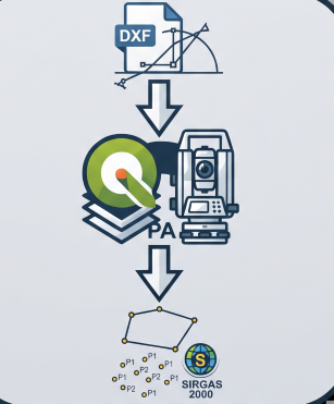
Generates staking-out points from DXF geometries (lines and arcs) in SIRGAS 2000 coordinates with millimeter precision.

Maintenance: Active = updated within 1 year, Quiet = 1–3 years, Likely abandoned = over 3 years.