
Home › Cartography & layout › Geology from points and lines

Geology from points and lines QGIS 4 compatibility
QGIS 4 ready Active
Yes — Geology from points and lines supports QGIS 4 (declared max version 4.99.0).
Automated Geological Mapping Plugin
About
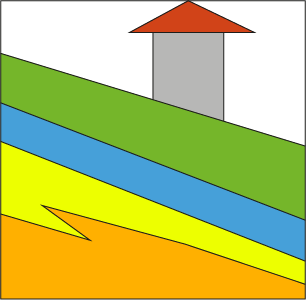
This plugin automates the creation of geological polygons by converting linear geological boundaries (contacts) into closed geometries. By leveraging control points that hold the specific geological data, the tool automatically assigns the correct attributes such as lithology and age to the resulting areas. This ensures high geometric accuracy and maintains strict topology between contact lines and geological units.
| Author | Giuseppe Cosentino(Pino) |
|---|---|
| Downloads | 8,289 |
| Latest version | 2.0.2 |
| Last updated | 2026-04-07 (192 days ago) |
| Min QGIS | 3.16.0 |
| Max QGIS | 4.99.0 |
| QGIS 4 ready | Yes |
| Maintenance | Active |
| Categories | Cartography & layout, Vector tools |
| Tags | geoprocessing, python, geology, cartography |
Homepage · Repository · Issue tracker · Official page
Alternatives in Cartography & layout
- LF ToolsQGIS 4 ready
Comprehensive solutions for cartographic production, surveying, drone mapping, GNSS data import, geospatial database management, digital ima
- MaskQGIS 4 ready
Help to create mask, filter labels in it
- TimeManagerQGIS 4 ready
Create animations visualizing spatio-temporal data



Related plugins
- Geology toolsQGIS 4 ready
Geology Tools offers a collection of plugins that simplify workflows in geology, hydrogeology, and seismic microzonation
- Hydrological Analysis Stream NetworkQGIS 4 ready
Algorithm for hydrological analysis that generates the drainage network from a digital terrain model (DTM)
- Lateral spreadingQGIS 4 ready
Lateral spreading for seismic microzonation
- GeoEdge AIQGIS 4 ready
AI assistant for QGIS: natural-language spatial analysis, cartography, and automation. Requires a free or paid GeoEdge account (sign up at h
- GISPublisherQGIS 4 ready
Generate and deploy interactive GIS web applications directly from QGIS layers.
- Cartographic Line GeneralizationNot QGIS 4 ready
Generalize lines suitable for presentation on printed or screen maps.


Maintenance: Active = updated within 1 year, Quiet = 1–3 years, Likely abandoned = over 3 years.