
Home › Raster & terrain › Build_Short_Evac_Time
Build_Short_Evac_Time QGIS 4 compatibility
Not QGIS 4 ready Active
Not yet — the latest version declares max QGIS version 3.99.0, so it is not offered to QGIS 4 users.
Build Shortest Evacuation Time is a QGIS plugin for building-level evacuation planning that computes shortest-time routes to shelters using OpenStreetMap data, with optional terrain-based walking speed adjustment from DEM.
About
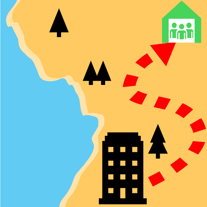
Build_Short_Evac_Time is a QGIS plugin designed to automatically identify buildings requiring evacuation within a tsunami-affected area and generate shortest evacuation routes to designated safe shelters using minimal user inputs.
| Author | Gaurav Khairnar |
|---|---|
| Downloads | 822 |
| Latest version | 1.2 |
| Last updated | 2026-02-18 (240 days ago) |
| Min QGIS | 3.0.0 |
| Max QGIS | 3.99.0 |
| QGIS 4 ready | No |
| Maintenance | Active |
| Categories | Raster & terrain, Network & routing |
| Tags | preparedness, communities, tsunami inundation, safe shelters, risk reduction, evacuation |
Homepage · Repository · Issue tracker · Official page
Alternatives in Raster & terrain
- Profile toolQGIS 4 ready
Plots terrain profile
- Qgis2threejsQGIS 4 ready
3D map visualization and web export powered by three.js JavaScript library
- SRTM-DownloaderQGIS 4 ready
Downloads SRTM Tiles from NASA Server


Related plugins
- 02Route 3D - Multi-Criteria 3D Mobility StudioQGIS 4 ready
3D routing and urban mobility analysis for 15 user profiles (wheelchair, senior, child, bicycle, scooter, car, truck...): slope-aware shorte

Maintenance: Active = updated within 1 year, Quiet = 1–3 years, Likely abandoned = over 3 years.