
Home › Raster & terrain › Terrain Shading

Terrain Shading QGIS 4 compatibility
QGIS 4 ready Active
Yes — Terrain Shading supports QGIS 4 (declared max version 4.99.0).
Shading algorithms for terrain analysis and visualisation.
About
This plugin features several algoritms for the analysis and visualisation of elevation models (DEMs).
| Author | Zoran Čučković |
|---|---|
| Downloads | 88,756 |
| Latest version | 1.1 |
| Last updated | 2026-07-02 (106 days ago) |
| Min QGIS | 4.0.0 |
| Max QGIS | 4.99.0 |
| QGIS 4 ready | Yes |
| Maintenance | Active |
| Category | Raster & terrain |
| Tags | shadows, ambient occlusion, raster, sky-view factor, hillshade |
Homepage · Repository · Issue tracker · Official page
Alternatives in Raster & terrain
- Profile toolQGIS 4 ready
Plots terrain profile
- Qgis2threejsQGIS 4 ready
3D map visualization and web export powered by three.js JavaScript library
- SRTM-DownloaderQGIS 4 ready
Downloads SRTM Tiles from NASA Server


Related plugins
- Relief Visualization ToolboxQGIS 4 ready
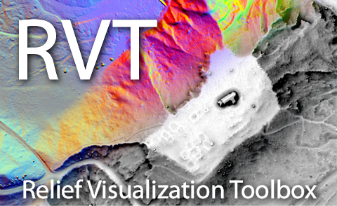
Relief visualization toolbox (RVT) plugin helps scientists visualise digital elevation model datasets.
- MSA: ShadowCasterNot QGIS 4 ready
2.5D building shadow vector analysis with accurate height and roof relationships
- MapTilerQGIS 4 ready
Street and satellite base maps with vector tiles
- Batch HillshaderNot QGIS 4 ready
Plugin to generate a three light exposure hillshade (shaded relief by combining three light exposures)
- Curva de NivelQGIS 4 ready
Creates contour lines from elevation data (INPE TOPODATA for Brazil or Copernicus GLO-30 worldwide)
- Topo MapsNot QGIS 4 ready
微地形図の生成。Generate Topographic Maps.



Maintenance: Active = updated within 1 year, Quiet = 1–3 years, Likely abandoned = over 3 years.