
Home › Raster & terrain › Relief Visualization Toolbox
Relief Visualization Toolbox QGIS 4 compatibility
QGIS 4 ready Active
Yes — Relief Visualization Toolbox supports QGIS 4 (declared max version 4.99.0).
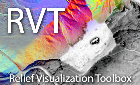
Relief visualization toolbox (RVT) plugin helps scientists visualise digital elevation model datasets.
About
The Relief Visualization Toolbox was developed to help scientists visualise raster elevation model datasets. We narrowed down the selection to include techniques proven effective for identifying small-scale features. The default settings therefore assume work with high-resolution digital elevation models derived from airborne laser scanning missions (lidar). Despite this, the techniques are also used for various other purposes. For example, the sky-view factor can be efficiently applied in numerous studies where digital elevation model visualisations and automatic feature extraction techniques are indispensable, such as in geography, geomorphology, cartography, hydrology, glaciology, forestry, and disaster management. It can even be used in engineering applications, such as predicting the availability of the GNSS signal, conducting heat balance studies in urban areas, or predicting wind environments in football stadiums. The methods currently implemented are: hillshading, hillshading from multiple directions, slope, simple local relief model (topographic position index), sky-view factor (as developed by our team), anisotropic sky-view factor, positive and negative openness, local dominance, multiscale topographic position, visualisation for archaeological topography (VAT), enhanced prismatic openness, enhanced multiscale topographic position (e4MSTP). You are encouraged to cite these papers: - Kokalj, Ž. 2025. Standardizing visualization in ancient Maya lidar research: Techniques, challenges and recommendations. Archaeological Prospection, 32 (4), 967–988. DOI: 10.1002/arp.70002 - Zakšek, K., Oštir, K., Kokalj, Ž. 2011. Sky-View factor as a relief visualization technique. Remote Sensing 3: 398-415. DOI: 10.3390/rs3020398 © Copyright 2026 ZRC SAZU and University of Ljubljana
| Author | ZRC SAZU and University of Ljubljana (UL FGG) |
|---|---|
| Downloads | 122,472 |
| Latest version | 1.0.1 |
| Last updated | 2026-07-23 (85 days ago) |
| Min QGIS | 3.0.0 |
| Max QGIS | 4.99.0 |
| QGIS 4 ready | Yes |
| Maintenance | Active |
| Category | Raster & terrain |
| Tags | rvt, dsm, dem, lidar, sky-view factor, dtm, archaeology, vat, slrm, hillshade, relief visualization toolbox, mstp, slope, relief, visualisation |
Homepage · Repository · Issue tracker · Official page
Alternatives in Raster & terrain
- Profile toolQGIS 4 ready
Plots terrain profile
- Qgis2threejsQGIS 4 ready
3D map visualization and web export powered by three.js JavaScript library
- SRTM-DownloaderQGIS 4 ready
Downloads SRTM Tiles from NASA Server


Related plugins
- Terrain Product StudioQGIS 4 ready
Publication-grade terrain maps from one DEM: 20 color palettes, USGS-style cartography, hydrology, geomorphometry, multi-hazard analysis, Ge
- ArchaeoTerrainExplorerQGIS 4 ready
ArchaeoTerrain Explorer is an interactive micro‑topographic analysis tool designed for archaeological prospection. The plugin extracts a 256
- Batch HillshaderNot QGIS 4 ready
Plugin to generate a three light exposure hillshade (shaded relief by combining three light exposures)
- Local Dominance VisualisationNot QGIS 4 ready
This plugin makes Local Dominance visualisations of raster images
- LiDAR Relief VisualizationQGIS 4 ready
A free, open-source QGIS toolkit with 31 Processing algorithms for archaeological LiDAR visualization and terrain analysis. Reveal subtle ea
- Forestry Operations LiteQGIS 4 ready
Terrain analysis for forestry sites: DEM/DSM loading, slope, TWI, stability index, CS MAP export, and time-area flow-load estimation.






Maintenance: Active = updated within 1 year, Quiet = 1–3 years, Likely abandoned = over 3 years.