
Home › Web maps & export › SAGis Excel Export

SAGis Excel Export QGIS 4 compatibility
Not QGIS 4 ready Quiet
Not yet — the latest version declares max QGIS version 3.99.0, so it is not offered to QGIS 4 users.
Plugin öffnet einen vereinfachten Excel-Export-Dialog
About
DE: SAGis Excel Export bietet einen einfachen Dialog zum Exportieren von XLSX-Dateien. Attributfelder können basierend auf der Konfiguration des Attributformulars in den Layer-Eigenschaften ausgewählt werden. EN: SAGis Excel Export offers a simple dialog for exporting XLSX files. Attribute fields are selectable based on the attributes form configuration in the layer properties. Voraussetzungen/Requirements: - openpyxl (tested with version 3.0.9) - pandas (tested with version 2.0.2) - xlsxwriter (tested with version 3.1.9) - xsdata (tested with version 23.8)
| Author | NTI Deutschland GmbH |
|---|---|
| Downloads | 5,532 |
| Latest version | 1.1.1 |
| Last updated | 2024-05-15 (884 days ago) |
| Min QGIS | 3.28.0 |
| Max QGIS | 3.99.0 |
| QGIS 4 ready | No |
| Maintenance | Quiet |
| Category | Web maps & export |
| Tags | python, excel, export |
Homepage · Repository · Issue tracker · Official page
Alternatives in Web maps & export
- qgis2webQGIS 4 ready
Export to an OpenLayers/Leaflet webmap
- Qgis2threejsQGIS 4 ready
3D map visualization and web export powered by three.js JavaScript library
- KML ToolsQGIS 4 ready
Fast KML/KMZ importer, exporter, with description field expansion and ground overlay to GeoTIFF conversions.


Related plugins
- Excel Auto ExporterNot QGIS 4 ready
Automatically export QGIS vector layers to Excel (.xlsx) files on data changes
- Export ExcelNot QGIS 4 ready
Export selected features from the active layer to an Excel (XLSX) file with custom field selection, ordering, and reusable presets.
- YF_Tools_PlusNot QGIS 4 ready
Unified plugin for surveying: create polygons from Excel/CSV, segment them with azimuth/angle calculations, and export to Excel with one cli
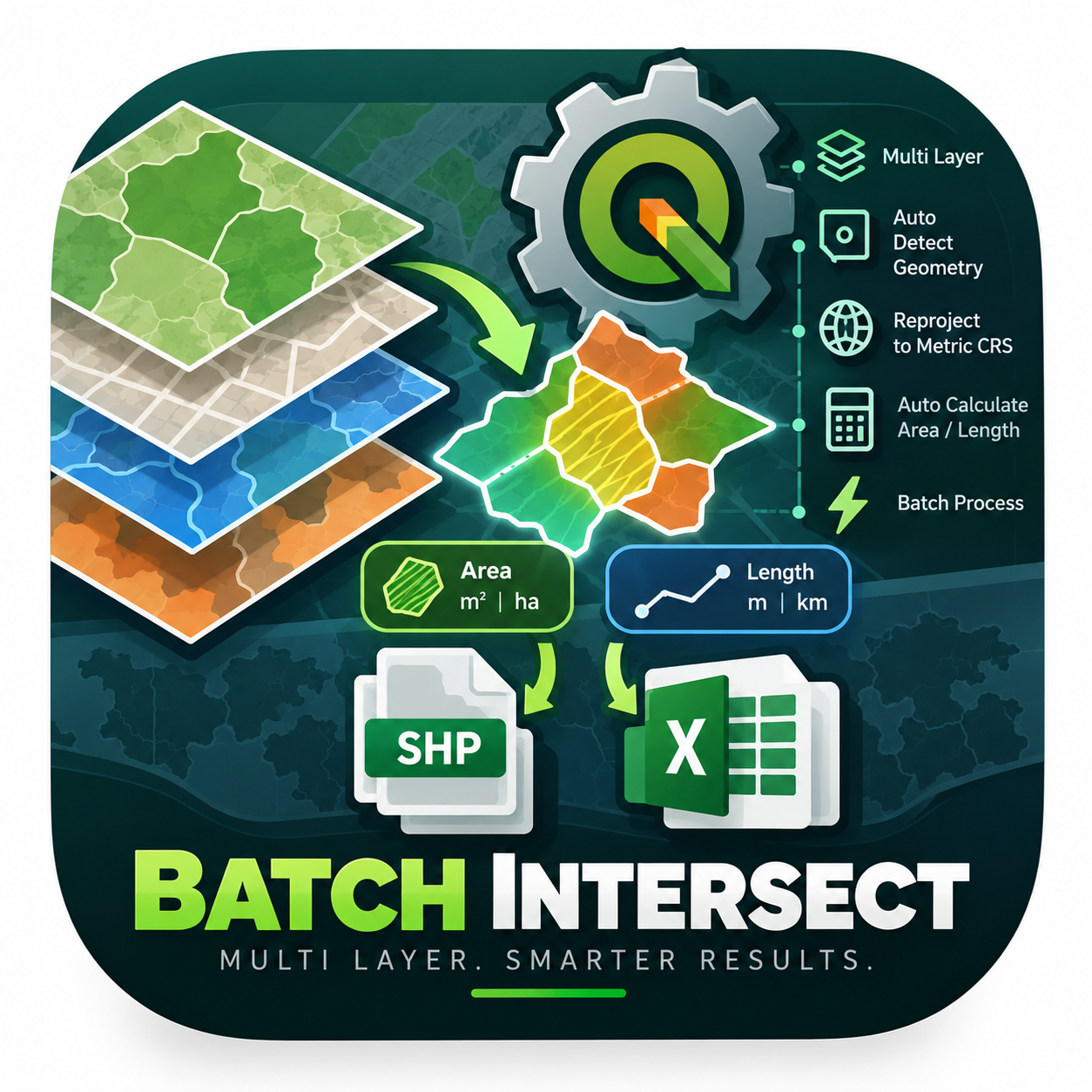
- Mega Batch Intersect & Calculator GlobalNot QGIS 4 ready
An enterprise-level PyQGIS algorithm engineered to automate spatial intersection across multiple layers simultaneously. It intelligently det
- Coordinate PickerQGIS 4 ready
Click on the map to capture point coordinates in any CRS, with a running table you can copy straight into Excel.
- Spreadsheet LayersQGIS 4 ready
Load layers from spreadsheet files (*.ods, *.xls, *.xlsx)




Maintenance: Active = updated within 1 year, Quiet = 1–3 years, Likely abandoned = over 3 years.