
Home › Georeferencing & CAD › GeoBearing-Distance
GeoBearing-Distance QGIS 4 compatibility
QGIS 4 ready Active
Yes — GeoBearing-Distance supports QGIS 4 (declared max version 4.99.0).
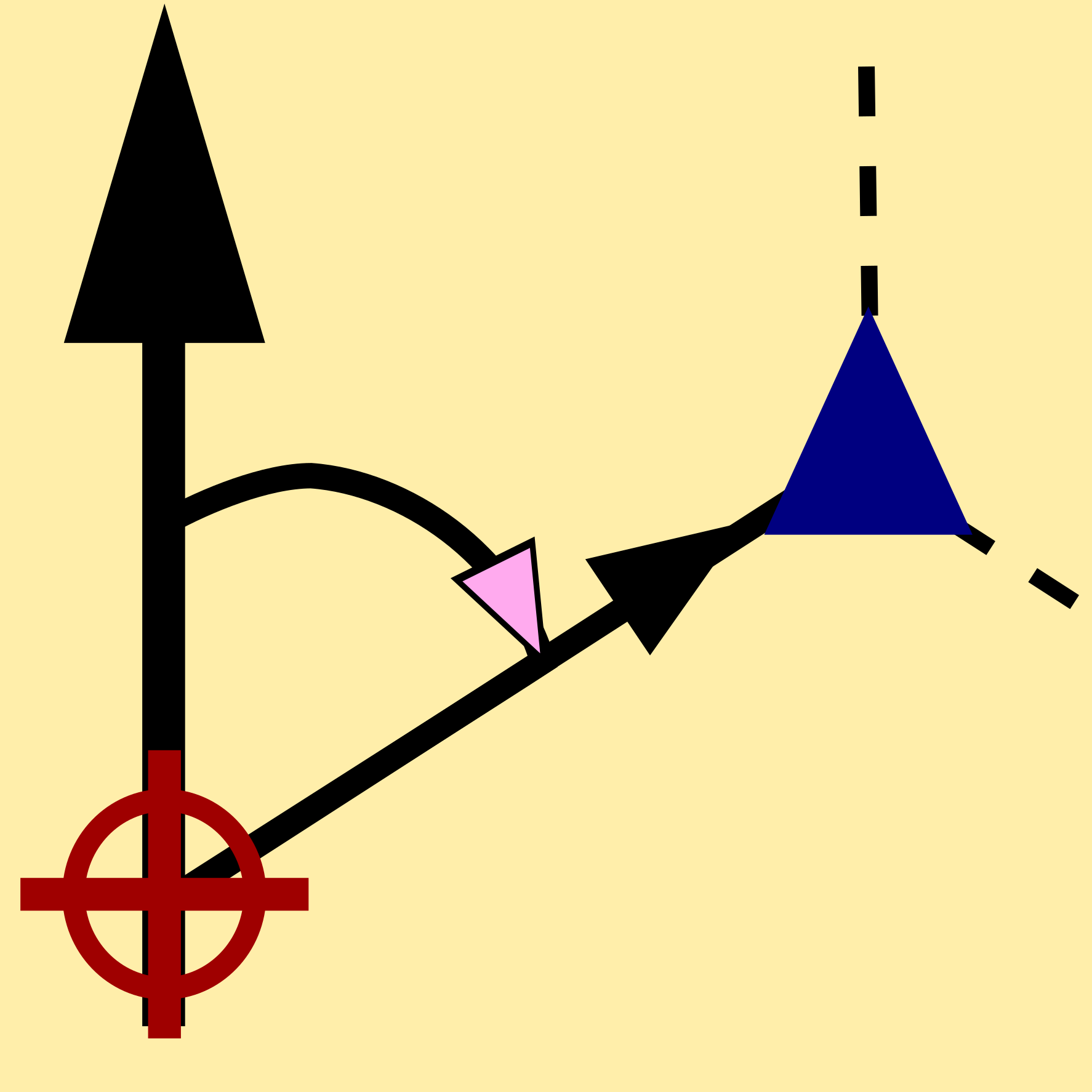
Feature digitizing tool using ellipsoidal bearing and distance inputs. This plugin complements the native Advanced Digitizing Tool in QGIS. It allows users to create lines and polygons using precise ellipsoidal bearing and distance values with snapping support.
About
GeoBearing-Distance enhances the QGIS digitizing workflow by allowing precise feature creation using ellipsoidal bearing and distance inputs. It is particularly useful in aviation, surveying, and geospatial engineering workflows where true ellipsoidal measurements are required.
| Author | Bhuvanamitra S |
|---|---|
| Downloads | 1,918 |
| Latest version | 1.1 |
| Last updated | 2026-03-11 (218 days ago) |
| Min QGIS | 3.0.0 |
| Max QGIS | 4.99.0 |
| QGIS 4 ready | Yes |
| Maintenance | Active |
| Category | Georeferencing & CAD |
| Tags | navigation, geodesic, true north, ellipsoidal, bearing, lines, distance, digitizing, aviation, polygons |
Homepage · Repository · Issue tracker · Official page
Alternatives in Georeferencing & CAD
- Shape ToolsQGIS 4 ready
Shape Tools is a collection of geodesic shapes and tools. Create circle, ellipse, line of bearing, points along a line of bearing, concentri
- AnotherDXFImporterQGIS 4 ready
Add DXF to QGIS , optional georeferencing, optional convert DXF to Shape/GeoPackage
- LF ToolsQGIS 4 ready
Comprehensive solutions for cartographic production, surveying, drone mapping, GNSS data import, geospatial database management, digital ima



Related plugins
- AzimuthToolNot QGIS 4 ready
A powerful QGIS plugin for generating vector line layers from azimuths or quadrant bearings and distances, starting from a user-defined poin
- Title Plotter PHQGIS 4 ready
Plugin for plotting Philippine land titles from technical descriptions. By Isaac Enage (byZenterra).
- Bearing ProtractorQGIS 4 ready
Interactive floating protractor and advanced azimuth/distance measurement tool for RF Site Audit and Network Planning.
- Nearest Point FinderNot QGIS 4 ready
Finds the nearest point(s) across multiple layers to a given set of coordinates using geodesic distance
- KML ToolsQGIS 4 ready
Fast KML/KMZ importer, exporter, with description field expansion and ground overlay to GeoTIFF conversions.
- Right-click Actions ToolkitNot QGIS 4 ready
Universal right-click context menu plugin that automatically detects features (points, lines, polygons) anywhere on the canvas and provides



Maintenance: Active = updated within 1 year, Quiet = 1–3 years, Likely abandoned = over 3 years.