
Home › Cartography & layout › Zone Label
Zone Label QGIS 4 compatibility
Not QGIS 4 ready Likely abandoned
Not yet — the latest version declares max QGIS version 3.99.0, so it is not offered to QGIS 4 users.
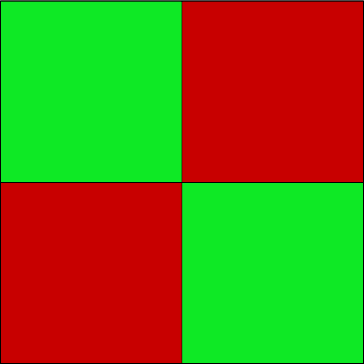
This plugin allows to split and manually label rectangular areas.
About
Starting from a specified rectangular area, it is possible to split the area in smaller equal areas and to assign a label (either Accept or Reject) and a description to each area.
| Author | Andrea Folini |
|---|---|
| Downloads | 4,764 |
| Latest version | 1.0 |
| Last updated | 2022-10-03 (1474 days ago) |
| Min QGIS | 3.0.0 |
| Max QGIS | 3.99.0 |
| QGIS 4 ready | No |
| Maintenance | Likely abandoned |
| Categories | Cartography & layout, Vector tools |
| Tags | classification, label, rectangle, split area, python |
Homepage · Repository · Issue tracker · Official page
Alternatives in Cartography & layout
- LF ToolsQGIS 4 ready
Comprehensive solutions for cartographic production, surveying, drone mapping, GNSS data import, geospatial database management, digital ima
- MaskQGIS 4 ready
Help to create mask, filter labels in it
- TimeManagerQGIS 4 ready
Create animations visualizing spatio-temporal data



Related plugins
- Label SwitcherNot QGIS 4 ready
Quickly assign 1/0 to selected polygon features and navigate with shortcuts.
- GeoMarkQGIS 4 ready
Create named points, lines, polygons, rectangles, and circles on the map canvas with styling, coordinates, labels, and CSV import/export sup
- Add Legend Labels to Layer AttributesQGIS 4 ready
Plugin to extract legend labels from the current layer style and assign them as attribute values to the corresponding features.
- QuickStyleNot QGIS 4 ready
A plugin for quick styling and management of vector layers in QGIS
- GeoArea LabelsQGIS 4 ready
Labels de área em polígonos QGIS com UTM global, SRC projetado e unidades métricas, internacionais e agrárias. Automatic area labels for QGI
- LINZ Schema LoaderQGIS 4 ready
QGIS Plugin/App to load New Zealand LINZ Data Service *.csv export data files directly into a MariaDB/MySQL database and create GIS map laye




Maintenance: Active = updated within 1 year, Quiet = 1–3 years, Likely abandoned = over 3 years.