
Home › Field data & mobile › 02-Multimap: Sync-up Multimaps
02-Multimap: Sync-up Multimaps QGIS 4 compatibility
QGIS 4 ready Active
Yes — 02-Multimap: Sync-up Multimaps supports QGIS 4 (declared max version 4.99.0).
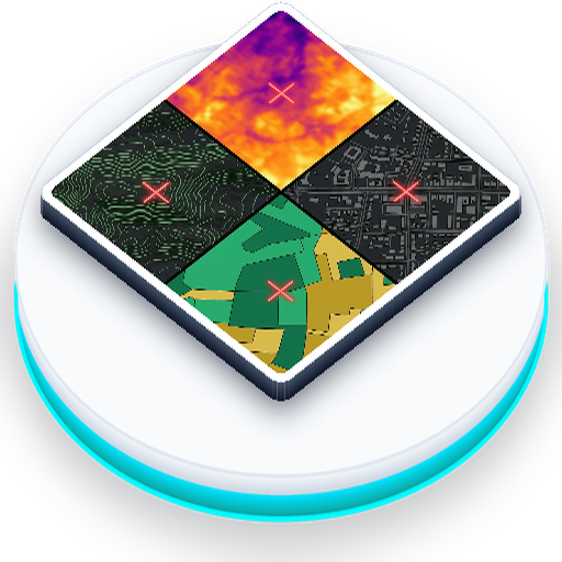
Smart multi-panel layer comparison with synchronized canvases, extent bounding boxes, multi-panel feature inspector, live extent KPIs, legend drawer, scale presets, and offline HTML dashboards.
About
02Multimap is an advanced, high-performance workspace plugin designed for comparative spatial analysis and multi-scenario map visualization. Ideal for urban planners, environmental researchers, and demographers, it allows you to compare multiple spatial patterns side-by-side in a coordinated layout. Online User Manual & Documentation: https://geophilo.com/zero2multimap/ | If you find this plugin helpful, please consider starring the repository on GitLab (https://gitlab.com/geophilo1/zero2multimap)! Key Capabilities: 1. Synchronized Viewport Grids: Rebuild your workspace into 2, 3, 4, 6, or 8 synchronized map canvases (in horizontal, vertical, or grid matrices). 2. Dynamic Extent Bounding Box: Overlay the active viewport rectangle over all other viewports to visualize geographic context immediately. 3. Multi-Panel Feature Inspector: Query vector attributes and raster cell values at any coordinate point across all active viewports simultaneously. 4. Visual Spatial Difference Engine: Compute geometric differences between comparison layers with green (added) and red (removed) overlays. 5. Viewport Spatial KPIs & Area Chips: Calculate real-time bounding box polygon areas (ha/km²) and feature counts beneath each panel card. 6. Workspace Presets & Templates: Save and restore custom comparison layouts or use built-in scenario templates (Before & After, 4-Scenario Matrix, Temporal Timeline). 7. Unified Legend Drawer & Canvas HUD: Access a right-side drawer stacking all panel legends and overlay North arrow / scale graphics on canvas corners. 8. Synchronized Measurement Tool: Measure distance and area interactively across viewports in QGIS and exported HTML dashboards. 9. Professional Print Layouts & Multi-Theme HTML Dashboards: Export exact panel rendering to self-contained HTML files featuring Slate Light, Dark Midnight, and Emerald Clean themes with live theme switching, presentation slide mode, opacity controls, measurement tool, and legends.
| Author | Yusuf Eminoglu |
|---|---|
| Downloads | 9,147 |
| Latest version | 1.0.2 |
| Last updated | 2026-09-16 (29 days ago) |
| Min QGIS | 3.40.0 |
| Max QGIS | 4.99.0 |
| QGIS 4 ready | Yes |
| Maintenance | Active |
| Categories | Field data & mobile, Cartography & layout, Vector tools |
| Tags | dialog, sync, zero2multimap, qgis, 02-multimap, multi-map, comparison, demographics |
Homepage · Repository · Issue tracker · Official page
Alternatives in Field data & mobile
- QField SyncQGIS 4 ready
Sync your projects to QField
- ImportPhotosQGIS 4 ready
Import Photos
- Mergin MapsQGIS 4 ready
Handle Mergin Maps projects



Related plugins
- QGIS LedgerQGIS 4 ready
IT: Controllo di versione stile Git per progetti QGIS: diff geometrici, rollback e sincronizzazione multi-cloud. / EN: Git-like version cont
- Map-XQGIS 4 ready
Advanced spatial sync & compare tool with smart Z-ordering and real-time statistical legend (Lite Version).
- Change DescriberQGIS 4 ready
Compare two versions of any vector layer and get the differences written out in plain English — added, deleted and modified features, attrib
- US Demographic ReportsNot QGIS 4 ready
Generate professional demographic reports and datafills from block group data with proportional area allocation
- DB Style ManagerNot QGIS 4 ready
Manage your styles stored in PostGIS
- KoboToolbox FieldBridgeQGIS 4 ready
Import KoboToolbox and ODK Central field survey data as QGIS vector layers. Supports geopoint, geotrace and geoshape. Incremental sync and a




Maintenance: Active = updated within 1 year, Quiet = 1–3 years, Likely abandoned = over 3 years.