
Home › Spatial analysis › Walk Potential
Walk Potential QGIS 4 compatibility
Not QGIS 4 ready Active
Not yet — the latest version declares max QGIS version 3.99.0, so it is not offered to QGIS 4 users.
A plugin to analyze pedestrian demand for urban planning
About
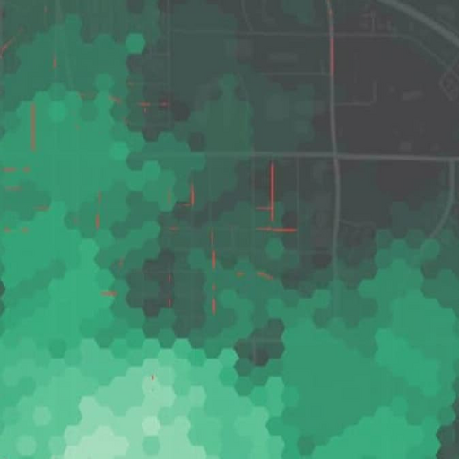
This plugin generates a heatmap showing the degree to which locations have pedestrian access to shops, parks, restaurants, and other services nearby. It is not a "walkability" metric because comfort is not considered. Instead it's a useful planning tool to combine with other metrics of sidewalk presence like condition to determine where to prioritize funding pedestrian facilities. By default, it uses a free isochrone service to calculate travel times which may be slow or have usage limits. Alternately, you can supply your own service URL. OpenStreetMap is queried to determine nearby amenities. A default set of amenities is provided, but you can provide your own. See README.md for more details.
| Author | Mark Stosberg |
|---|---|
| Downloads | 473 |
| Latest version | 0.3.0 (experimental) |
| Last updated | 2025-11-07 (343 days ago) |
| Min QGIS | 3.34.0 |
| Max QGIS | 3.99.0 |
| QGIS 4 ready | No |
| Maintenance | Active |
| Category | Spatial analysis |
| Tags | urban planning, bicycling., analysis, walking |
Homepage · Repository · Issue tracker · Official page
Alternatives in Spatial analysis
- Group StatsQGIS 4 ready
Stats and analysis for vector layers data
- Data PlotlyQGIS 4 ready
D3 Plots for QGIS
- CrayfishQGIS 4 ready
Tools for mesh layers QGIS



Related plugins
- UMEP for processingQGIS 4 ready
Urban Multi-scale Environmental Predictor (UMEP) for the QGIS processing framework
- USM toolset (Urban Sprawl Metric toolset)QGIS 4 ready
The USM Toolset calculates Weighted Urban Proliferation (WUP) and its components (PBA, DIS, LUP) for user-defined reporting units. Includes
- PlanX Settlement Planning ToolsetQGIS 4 ready
PlanX Settlement Planning Tools. A 9-stage sequential workflow toolset capable of generating blocks, parcels, building footprints, parking,
- PlanX Uygulama İmar Planı (Master Plan) ToolsetQGIS 4 ready
PlanX Spatial Planning Plugins - A toolset automating the Uygulama İmar Planı (UIP - Master Plan) implementation processes.
- Sampling TimeNot QGIS 4 ready
Performs multiple sampling methods on shapefile layers
- UrbanMatrixNot QGIS 4 ready
Apply the Matrix Method to urban spatial data using a customizable classification and visualization workflow.





Maintenance: Active = updated within 1 year, Quiet = 1–3 years, Likely abandoned = over 3 years.