Home › Hydrology & water › TELEMAC Toolkit

TELEMAC Toolkit QGIS 4 compatibility
QGIS 4 ready Active
Yes — TELEMAC Toolkit supports QGIS 4 (declared max version 4.99.0).
Build meshes, edit them and analyse results for TELEMAC in QGIS, with QGIS and Python only; export the same mesh to other 2D programs.
About
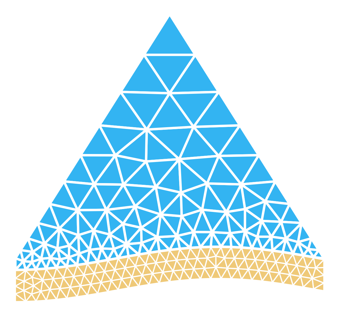
A mesher made for TELEMAC: unstructured triangles with refinement areas and points, breaklines and guide lines, fixed points and islands, stitched to structured channel strips and regular grids; a step-by-step Mesh workflow panel; local coordinates and channel templates (straight flume, circular bend, sine-generated meanders) with a bed formula along the channel axis; bottom from rasters, survey points or a formula; roughness zones; boundary conditions (.cli, .liq) numbered as TELEMAC numbers them; node editing of existing meshes (replace, add, raise, lower, inside polygons); mesh quality, cut and conversion. Writes SELAFIN for TELEMAC and the same mesh as 2DM (BASEMENT, TUFLOW FV, SMS), Gmsh, GiD (Iber), UGRID (Delft3D FM), MIKE 21 FM and ADCIRC/SCHISM, plus HEC-RAS perimeter and breakline layers. Results: read and write SELAFIN in pure Python; open 2D and 3D results as styled mesh layers driven by the QGIS Temporal Controller, with arrow controls (spacing, scale, filter), a live cursor, probe time series and animated profiles; a calculator with gradients, divergence, vorticity, strain and time statistics; discharges through sections, fluxes, line and area integrals. Works on Windows, Linux and macOS, QGIS 3.44 LTR (Qt5) and QGIS 4 (Qt6). No dependency beyond NumPy, which ships with QGIS.
| Author | Kevin Douglas Alvarez Segales |
|---|---|
| Downloads | 174 |
| Latest version | 0.5.1 (experimental) |
| Last updated | 2026-11-08 (5 days ago) |
| Min QGIS | 3.44.0 |
| Max QGIS | 4.99.0 |
| QGIS 4 ready | Yes |
| Maintenance | Active |
| Category | Hydrology & water |
| Tags | telemac, selafin, serafin, hydraulics, flood, mesh, mesh generation, triangulation, hydrodynamic, 2dm, gmsh, iber, hec-ras, flume, meander, temporal, vorticity, discharge, calculator |
Homepage · Repository · Issue tracker · Official page
Alternatives in Hydrology & water
- CrayfishQGIS 4 ready
Tools for mesh layers QGIS
- ArcGeek CalculatorQGIS 4 ready
ArcGeek Calculator is a QGIS plugin that provides a comprehensive set of tools for coordinate calculations, conversions, spatial operations,
- TUFLOWQGIS 4 ready
A collection of utilities for TUFLOW flood and coastal simulation in QGIS



Related plugins
- Rain to Flood AnalysisQGIS 4 ready
Rainfall-to-flood analysis for QGIS. Delineates the upstream catchment and longest flow path from a single pour point, downloads and analyse
- QFAT02 TIN LoaderNot QGIS 4 ready
Import 12d (.12da/.12daz), auto-detected TIN, DXF 3DFACE, and LandXML terrain surfaces into QGIS mesh/2DM workflows.
- aXquaQGIS 4 ready
Set up, run and monitor TELEMAC and OpenFOAM models of free-surface water bodies (rivers, lakes, reservoirs, hydraulic structures) from QGIS
- PostTelemacNot QGIS 4 ready
Post Treatment for Telemac (and Anuga , HECRAS 2D as experimental)
- RiverGISNot QGIS 4 ready
RiverGIS is a QGIS plugin that helps you create HEC-RAS flow model.
- BlueMesh2DNot QGIS 4 ready
Generate unstructured triangular meshes from bathymetry rasters (BlueMesh2D)




Maintenance: Active = updated within 1 year, Quiet = 1–3 years, Likely abandoned = over 3 years.