
Home › Cartography & layout › QGIS 2.5D Styling
QGIS 2.5D Styling QGIS 4 compatibility
QGIS 4 ready Active
Yes — QGIS 2.5D Styling supports QGIS 4 (declared max version 4.99.0).
Focused 2.5D building styler with OSM footprints, per-floor colors, 10 themes, three renderers, presets, and QML workflows.
About
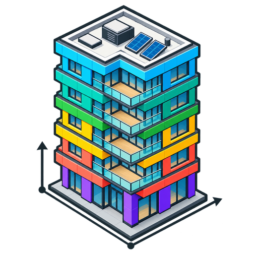
QGIS 2.5D Styling performs one focused task: producing publication-ready 2.5D building symbology. Use an existing polygon layer or explicitly download bounded OSM building footprints. OSM building:levels values drive floor counts; missing values use a visible, configurable three-floor default. The compact right dock provides three renderers, projection and material controls, 10 curated 02CartoLab-derived themes, 23 per-floor palettes (each theme's own matching gradient plus 13 standalone palettes), live preview, previous-style restoration, and QML import/export. A single Processing algorithm applies styling headlessly. No pip dependencies are required. Repository: https://github.com/YusufEminoglu/qgis_25d_styling
| Author | Yusuf Eminoglu |
|---|---|
| Downloads | 928 |
| Latest version | 1.0.2 |
| Last updated | 2026-09-29 (16 days ago) |
| Min QGIS | 3.28.0 |
| Max QGIS | 4.99.0 |
| QGIS 4 ready | Yes |
| Maintenance | Active |
| Categories | Cartography & layout, Data download & OSM |
| Tags | 2.5d, buildings, osm, overpass, building levels, extrusion, shading, floor bands, qml, symbology, isometric |
Homepage · Repository · Issue tracker · Official page
Alternatives in Cartography & layout
- LF ToolsQGIS 4 ready
Comprehensive solutions for cartographic production, surveying, drone mapping, GNSS data import, geospatial database management, digital ima
- MaskQGIS 4 ready
Help to create mask, filter labels in it
- TimeManagerQGIS 4 ready
Create animations visualizing spatio-temporal data



Related plugins
- OSM Quick 3DQGIS 4 ready
One-click OpenStreetMap into native QGIS: function-styled vector layers plus flat-roof 3D building massing on a selectable study-area shape
- 02Agent OSM DownloaderQGIS 4 ready
QGIS 3.28+ and QGIS 4 OpenStreetMap acquisition studio with 43 curated presets, Nominatim place search, exact administrative-boundary downlo
- OSM Extractor by Jambar LabQGIS 4 ready
Extract OpenStreetMap data (roads, waterways, buildings, schools, health facilities) from any layer extent. Works worldwide.
- OSM Data ToolkitQGIS 4 ready
Download OpenStreetMap data for an area of interest and export it as organised GeoPackage or Shapefile layers.
- 02CartoLabQGIS 4 ready
Unified cartographic studio and print layout automation for QGIS: publication-grade thematic styling, bivariate maps, 2.5D extrusion, and on
- Zapisz projekt do GPKG (warstwy i style)Not QGIS 4 ready
Zapisuje wybrane warstwy projektu do jednego pliku GeoPackage razem z symbolizacją (styl domyślny w GPKG) i kolejnością warstw — cały projek






Maintenance: Active = updated within 1 year, Quiet = 1–3 years, Likely abandoned = over 3 years.