
Home › AI & machine learning › QLearn

QLearn QGIS 4 compatibility
Not QGIS 4 ready Quiet
Not yet — the latest version declares max QGIS version 3.99.0, so it is not offered to QGIS 4 users.
QLearn preforms automatic training of a neural network model on raster data
About
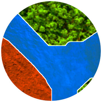
QLearn is a plugin that allows you to train a UNet segmentation neural network architecture to segment and classify raster data. It can also use pretrained models to make predictions on raster data Required Dependencies: torch and torchvision Install with OSGeo4W Shell (pip3 install torch torchvision) QGIS Integration: Train and use machine learning models without leaving QGIS Automatic Data Preprocessing: Automatic alignment, rescaling, reclassifying, and normalization of rasters Testing and Validation: Automatically splits datasets into training and evaluation sets and provides model evaluation metrics Confidence Filtering: Optional filtering of predictions based on confidence levels Multiband Support: Works with any number of input bands and output classes
| Author | Adam B |
|---|---|
| Downloads | 1,397 |
| Latest version | 1.0 |
| Last updated | 2025-04-07 (557 days ago) |
| Min QGIS | 3.26.2 |
| Max QGIS | 3.99.0 |
| QGIS 4 ready | No |
| Maintenance | Quiet |
| Category | AI & machine learning |
| Tags | classification, processing, neural network, training, raster, segmentation, analysis, image recognition, machine learning |
Homepage · Repository · Issue tracker · Official page
Alternatives in AI & machine learning
Raster classification in QGIS with 11 machine learning algorithms, Optuna hyperparameter search, SHAP explanations, class imbalance handling
- ArcGeek CalculatorQGIS 4 ready
ArcGeek Calculator is a QGIS plugin that provides a comprehensive set of tools for coordinate calculations, conversions, spatial operations,
- Bunting Labs AI VectorizerQGIS 4 ready
Autocomplete for vectorizing and georeferencing raster maps.



Related plugins
- Deepness: Deep Neural Remote SensingNot QGIS 4 ready
Inference of deep neural network models (ONNX) for segmentation, detection and regression
- AI Segmentation by TerraLabQGIS 4 ready
AI segmentation in QGIS 3.22 to 4. Draw a zone, name an object and get every building footprint, tree or solar panel as vector polygons, or
- GeoSeg StudioQGIS 4 ready
Full-pipeline deep learning semantic segmentation for geospatial raster data.
- TreeEyedNot QGIS 4 ready
TreeEyed is a QGIS plugin for tree monitoring using AI.
- AI Edit by TerraLabQGIS 4 ready
Generative AI image editing for QGIS 3.22 to 4. Show a redevelopment, a planted street, a flood or an orthophoto redrawn as a clean site pla
- PlanX GeoStats LabQGIS 4 ready
PlanX spatial analysis lab for QGIS planning workflows: data preparation, urban pattern scanning, hot spots, centers, exploratory models and





Maintenance: Active = updated within 1 year, Quiet = 1–3 years, Likely abandoned = over 3 years.